700 Rife Rd Waynesboro, VA 22980
Estimated Value: $212,400 - $285,000
2
Beds
2
Baths
1,474
Sq Ft
$164/Sq Ft
Est. Value
About This Home
This home is located at 700 Rife Rd, Waynesboro, VA 22980 and is currently estimated at $241,350, approximately $163 per square foot. 700 Rife Rd is a home located in Waynesboro City with nearby schools including Berkeley Glenn Elementary School, Kate Collins Middle School, and Waynesboro High School.
Ownership History
Date
Name
Owned For
Owner Type
Purchase Details
Closed on
Apr 1, 2013
Sold by
Hulen Mason R
Bought by
Gorsuch Kent F
Current Estimated Value
Home Financials for this Owner
Home Financials are based on the most recent Mortgage that was taken out on this home.
Original Mortgage
$70,000
Outstanding Balance
$49,611
Interest Rate
3.56%
Mortgage Type
New Conventional
Estimated Equity
$191,739
Create a Home Valuation Report for This Property
The Home Valuation Report is an in-depth analysis detailing your home's value as well as a comparison with similar homes in the area
Purchase History
| Date | Buyer | Sale Price | Title Company |
|---|---|---|---|
| Gorsuch Kent F | $145,000 | -- |
Source: Public Records
Mortgage History
| Date | Status | Borrower | Loan Amount |
|---|---|---|---|
| Open | Gorsuch Kent F | $70,000 |
Source: Public Records
Tax History Compared to Growth
Tax History
| Year | Tax Paid | Tax Assessment Tax Assessment Total Assessment is a certain percentage of the fair market value that is determined by local assessors to be the total taxable value of land and additions on the property. | Land | Improvement |
|---|---|---|---|---|
| 2025 | $1,758 | $214,400 | $32,500 | $181,900 |
| 2024 | $1,608 | $208,800 | $30,000 | $178,800 |
| 2023 | $1,608 | $208,800 | $30,000 | $178,800 |
| 2022 | $1,346 | $149,500 | $25,000 | $124,500 |
| 2021 | $1,346 | $149,500 | $25,000 | $124,500 |
| 2020 | $1,255 | $139,400 | $25,000 | $114,400 |
| 2019 | $1,255 | $139,400 | $25,000 | $114,400 |
| 2018 | $1,155 | $128,300 | $25,000 | $103,300 |
| 2017 | $1,116 | $128,300 | $25,000 | $103,300 |
| 2016 | $990 | $123,700 | $25,000 | $98,700 |
| 2015 | $990 | $123,700 | $25,000 | $98,700 |
| 2014 | -- | $122,500 | $25,000 | $97,500 |
| 2013 | -- | $0 | $0 | $0 |
Source: Public Records
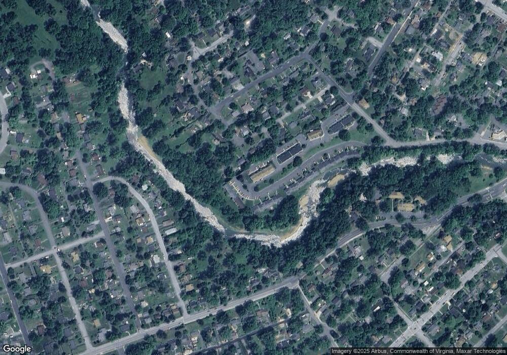
Map
Nearby Homes
- 842 Maple Ave
- 645 Maple Ave
- 833 Jefferson Ave
- 477 Chestnut Ave
- 314 13th St
- 1133 Club Rd
- 1305 13th St
- 315 W 12th St
- 1215 W 12th St
- 701 Western Rd
- 373 S Magnolia Ave
- 948 S Delphine Ave
- 1124 S Winchester Ave
- 315 Dupont Cir
- 220 Elizabeth Ave
- 1358 Keesling Ave
- 812 Meadowbrook Rd
- 1637 Mulberry St
- 252 Port Republic Rd
- LOT 2 Port Republic Rd
- 700 Rife Rd Unit 6B
- 700 Rife Rd Unit 6C
- 700 Rife Rd Unit 9G
- 700 Rife Rd Unit 11-L
- 700 Rife Rd Unit 6-F
- 700 Rife Rd Unit 5D
- 700 Rife Rd Unit 8F
- 700 Rife Rd Unit 8K
- 700 Rife Rd Unit 11-I
- 700 Rife Rd Unit Building 11 Unit C
- 700 Rife Rd Unit 8J
- 700 Rife Rd Unit 8L
- 700 Rife Rd Unit 11G
- 700 Rife Rd Unit 5E
- 700 Rife Rd
- 700 Rife Rd
- 700 Rife Rd
- 700 Rife Rd
- 700 Rife Rd
- 700 Rife Rd