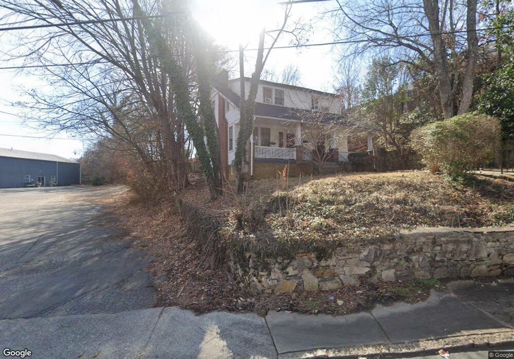
700 Shallowford St Winston Salem, NC 27101
Downtown Winston-Salem NeighborhoodEstimated Value: $340,000 - $527,000
8
Beds
4
Baths
3,094
Sq Ft
$132/Sq Ft
Est. Value
About This Home
This home is located at 700 Shallowford St, Winston Salem, NC 27101 and is currently estimated at $408,595, approximately $132 per square foot. 700 Shallowford St is a home located in Forsyth County with nearby schools including Brunson Elementary School, Wiley Magnet Middle School, and Reynolds High School.
Ownership History
Date
Name
Owned For
Owner Type
Purchase Details
Closed on
Mar 25, 2003
Sold by
Mcneal David R and Mcneal Heidi F
Bought by
Page Brian C
Current Estimated Value
Home Financials for this Owner
Home Financials are based on the most recent Mortgage that was taken out on this home.
Original Mortgage
$68,500
Interest Rate
5.23%
Purchase Details
Closed on
Oct 5, 1998
Sold by
Barker Brian W and Barker Melissa W
Bought by
Mcneal David R and Ferguson Frank C
Home Financials for this Owner
Home Financials are based on the most recent Mortgage that was taken out on this home.
Original Mortgage
$52,560
Interest Rate
6.8%
Create a Home Valuation Report for This Property
The Home Valuation Report is an in-depth analysis detailing your home's value as well as a comparison with similar homes in the area
Home Values in the Area
Average Home Value in this Area
Purchase History
| Date | Buyer | Sale Price | Title Company |
|---|---|---|---|
| Page Brian C | $65,000 | -- | |
| Mcneal David R | $61,000 | -- |
Source: Public Records
Mortgage History
| Date | Status | Borrower | Loan Amount |
|---|---|---|---|
| Closed | Page Brian C | $68,500 | |
| Previous Owner | Mcneal David R | $52,560 |
Source: Public Records
Tax History Compared to Growth
Tax History
| Year | Tax Paid | Tax Assessment Tax Assessment Total Assessment is a certain percentage of the fair market value that is determined by local assessors to be the total taxable value of land and additions on the property. | Land | Improvement |
|---|---|---|---|---|
| 2025 | $1,794 | $159,200 | $52,300 | $106,900 |
| 2024 | $1,712 | $127,900 | $52,300 | $75,600 |
| 2023 | $1,712 | $127,900 | $52,300 | $75,600 |
| 2022 | $1,680 | $127,900 | $52,300 | $75,600 |
| 2021 | $1,650 | $127,900 | $52,300 | $75,600 |
| 2020 | $1,599 | $115,800 | $51,700 | $64,100 |
| 2019 | $1,611 | $115,800 | $51,700 | $64,100 |
| 2018 | $1,530 | $115,800 | $51,700 | $64,100 |
| 2016 | $1,420 | $107,884 | $44,423 | $63,461 |
| 2015 | $1,398 | $107,884 | $44,423 | $63,461 |
| 2014 | $1,356 | $107,884 | $44,423 | $63,461 |
Source: Public Records
Map
Nearby Homes
- 130 N Poplar St
- 819 Holly Ave
- 381 N Green St
- 927 Apple St
- 389 N Green St Unit 106
- 810 W 4th St Unit 212
- 315 N Spruce St Unit 106
- 315 N Spruce St Unit 410
- 315 N Spruce St Unit 307
- 450 Front St Unit 13
- 509 S Green St
- 1 Park Vista Ln Unit 520
- 1 Park Vista Ln Unit 620
- 600 S Poplar St
- 523 Summit St
- 1433 W 4th St
- 429 Gregory St
- 1444 W 4th St
- 236 Glade View Ct
- 530 N Trade St Unit 407
- 711 W 4 1/2 St
- 711 W 1st St Unit C
- 711 W 1st St Unit A
- 711 W 1st St
- 701 Brookstown Ave
- 643 W 1st St
- 704 Brookstown Ave
- 630 Brookstown Ave
- 645 W 1st St
- 13 N Spring St
- 38 N Spring St
- 39 N Spring St
- 33 N Spring St
- 34 N Spring St
- 704 and 708 Brookstown Ave
- 624 W 1st St Unit A
- 708 Brookstown Ave
- 111 N Spring St
- 620 W 1st St
- 620 W 1st St Unit B