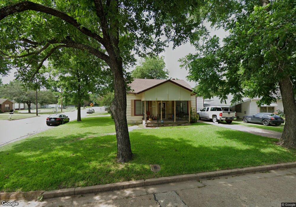
700 W Morgan St Denison, TX 75020
Estimated Value: $151,797 - $210,000
--
Bed
--
Bath
1,494
Sq Ft
$121/Sq Ft
Est. Value
About This Home
This home is located at 700 W Morgan St, Denison, TX 75020 and is currently estimated at $180,899, approximately $121 per square foot. 700 W Morgan St is a home located in Grayson County with nearby schools including Terrell Elementary School, Scott Middle School, and Denison High School.
Ownership History
Date
Name
Owned For
Owner Type
Purchase Details
Closed on
Jun 30, 2025
Sold by
Gardner Sharon L and Gibson Sharon L
Bought by
Sharp Michael
Current Estimated Value
Purchase Details
Closed on
Apr 20, 2005
Sold by
Neasbitt Sherry A
Bought by
Gibson Sharon L
Home Financials for this Owner
Home Financials are based on the most recent Mortgage that was taken out on this home.
Original Mortgage
$44,500
Interest Rate
5.89%
Mortgage Type
Fannie Mae Freddie Mac
Create a Home Valuation Report for This Property
The Home Valuation Report is an in-depth analysis detailing your home's value as well as a comparison with similar homes in the area
Home Values in the Area
Average Home Value in this Area
Purchase History
| Date | Buyer | Sale Price | Title Company |
|---|---|---|---|
| Sharp Michael | -- | Grayson County Title | |
| Gibson Sharon L | -- | -- |
Source: Public Records
Mortgage History
| Date | Status | Borrower | Loan Amount |
|---|---|---|---|
| Previous Owner | Gibson Sharon L | $44,500 |
Source: Public Records
Tax History Compared to Growth
Tax History
| Year | Tax Paid | Tax Assessment Tax Assessment Total Assessment is a certain percentage of the fair market value that is determined by local assessors to be the total taxable value of land and additions on the property. | Land | Improvement |
|---|---|---|---|---|
| 2025 | $2,753 | $108,618 | $35,150 | $73,468 |
| 2024 | $2,753 | $118,514 | $44,150 | $74,364 |
| 2023 | $809 | $79,116 | $0 | $0 |
| 2022 | $1,709 | $71,924 | $0 | $0 |
| 2021 | $1,649 | $65,385 | $13,500 | $51,885 |
| 2020 | $1,834 | $69,538 | $11,250 | $58,288 |
| 2019 | $1,756 | $68,576 | $7,500 | $61,076 |
| 2018 | $1,609 | $60,874 | $6,400 | $54,474 |
| 2017 | $1,475 | $52,728 | $3,250 | $49,478 |
| 2016 | $1,475 | $52,728 | $3,250 | $49,478 |
| 2015 | $1,079 | $53,320 | $3,100 | $50,220 |
| 2014 | $1,229 | $53,320 | $3,100 | $50,220 |
Source: Public Records
Map
Nearby Homes
- 609 W Owing St
- 705 W Crawford St
- 831 W Owing St
- 826 W Crawford St
- 618 W Chestnut St
- 702 S Barrett Ave
- 920 W Morgan St
- 627 W Chestnut St
- 830 W Shepherd St
- 904 W Shepherd St
- TBD W Main St
- 919 W Day St
- 621 W Munson St
- 1027 W Crawford St
- 330 W Morgan St
- 901 W Munson St
- 326-328 W Morgan St
- 811 W Woodard St
- 506 W Woodard St
- 511 W Munson St
- 706 W Morgan St
- 511 S Barrett Ave
- 710 W Morgan St
- 500 S Barrett Ave
- 714 W Morgan St
- 701 W Morgan St
- 705 W Morgan St
- 716 W Morgan St
- 709 W Morgan St
- 627 W Morgan St
- 624 W Morgan St
- 631 W Morgan St
- 715 W Morgan St
- 722 W Morgan St
- 618 W Morgan St
- 623 W Morgan St
- 612 W Morgan St
- 520 S Armstrong Ave
- 617 W Morgan St
- 700 W Owings St