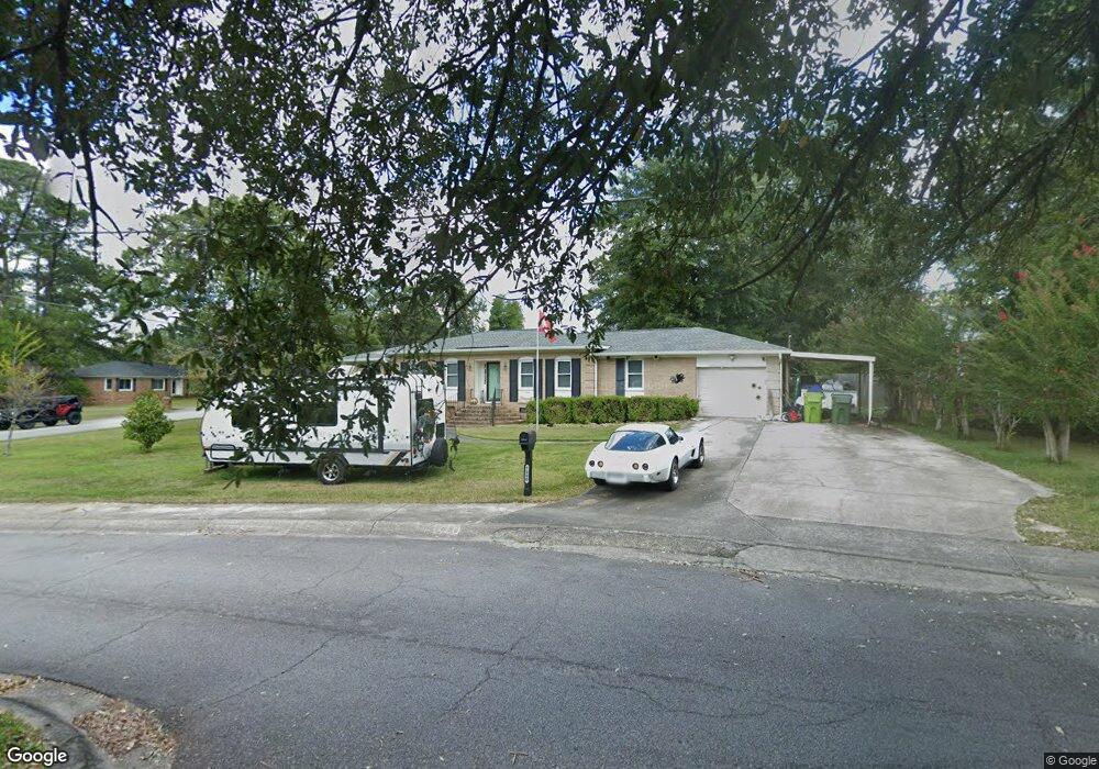
7000 Devon Rd Columbia, SC 29209
The Hamptons NeighborhoodEstimated Value: $225,000 - $318,000
3
Beds
2
Baths
1,796
Sq Ft
$150/Sq Ft
Est. Value
About This Home
This home is located at 7000 Devon Rd, Columbia, SC 29209 and is currently estimated at $269,273, approximately $149 per square foot. 7000 Devon Rd is a home located in Richland County with nearby schools including Meadowfield Elementary School, Hand Middle School, and Dreher High School.
Ownership History
Date
Name
Owned For
Owner Type
Purchase Details
Closed on
May 11, 2007
Sold by
Wooten Charles William and Wooten Betty M
Bought by
Weaver Miles F and Weaver Margaret Ann
Current Estimated Value
Home Financials for this Owner
Home Financials are based on the most recent Mortgage that was taken out on this home.
Original Mortgage
$100,000
Outstanding Balance
$60,627
Interest Rate
6.11%
Mortgage Type
Purchase Money Mortgage
Estimated Equity
$208,646
Purchase Details
Closed on
Jul 29, 1999
Sold by
Kitchings Betty
Bought by
Wooten Charles William and Wooten Betty M
Create a Home Valuation Report for This Property
The Home Valuation Report is an in-depth analysis detailing your home's value as well as a comparison with similar homes in the area
Home Values in the Area
Average Home Value in this Area
Purchase History
| Date | Buyer | Sale Price | Title Company |
|---|---|---|---|
| Weaver Miles F | $140,000 | None Available | |
| Wooten Charles William | $103,500 | -- |
Source: Public Records
Mortgage History
| Date | Status | Borrower | Loan Amount |
|---|---|---|---|
| Open | Weaver Miles F | $100,000 |
Source: Public Records
Tax History Compared to Growth
Tax History
| Year | Tax Paid | Tax Assessment Tax Assessment Total Assessment is a certain percentage of the fair market value that is determined by local assessors to be the total taxable value of land and additions on the property. | Land | Improvement |
|---|---|---|---|---|
| 2023 | $1,077 | $0 | $0 | $0 |
| 2021 | $1,054 | $6,310 | $0 | $0 |
| 2020 | $1,070 | $6,310 | $0 | $0 |
| 2019 | $1,043 | $6,310 | $0 | $0 |
| 2018 | $877 | $5,490 | $0 | $0 |
| 2017 | $859 | $5,490 | $0 | $0 |
| 2016 | $856 | $5,490 | $0 | $0 |
| 2015 | $835 | $5,490 | $0 | $0 |
| 2014 | $812 | $137,200 | $0 | $0 |
| 2013 | -- | $5,490 | $0 | $0 |
Source: Public Records
Map
Nearby Homes
- 821 Walters Ln
- 1040 Coatesdale Rd
- 811 Rockwood Rd
- 6627 Christie Rd
- 1284 Rockwood Rd
- 6603 Christie Rd
- 755 Burnside Dr
- 513 Knollwood Dr
- 6400 Saye Cut
- 509 Burnside Dr
- 444 Cami Forest Ln
- 109 Rosebank Dr
- 206 Hampton Forest Dr
- 404 Hampton Forest Dr
- 411 Hampton Forest Dr
- 497 Galway Ln
- 622 Chimney Hill Rd
- 604 Hampton Trace Ln
- 405 Black Friars Rd
- 148 Cottage Lake Way
- 910 Veterans Rd
- 7006 Devon Rd
- 7010 Devon Rd
- 900 Veterans Rd
- 7001 Devon Rd
- 923 Veterans Rd
- 7005 Devon Rd
- 931 Veterans Rd
- 917 Veterans Rd
- 901 Walters Ln
- 847 Walters Ln
- 937 Veterans Rd
- 7011 Devon Rd
- 909 Veterans Rd
- 836 Veterans Rd
- 7000 John Edward St
- 905 Walters Ln
- 7006 John Edward St
- 945 Veterans Rd
- 837 Walters Ln