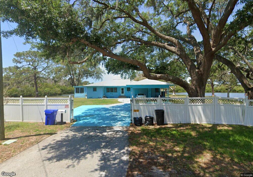
7000 Morningstar Ln New Port Richey, FL 34652
New Port Richey West NeighborhoodEstimated Value: $227,000 - $461,000
3
Beds
2
Baths
1,936
Sq Ft
$186/Sq Ft
Est. Value
About This Home
This home is located at 7000 Morningstar Ln, New Port Richey, FL 34652 and is currently estimated at $360,421, approximately $186 per square foot. 7000 Morningstar Ln is a home located in Pasco County with nearby schools including Richey Elementary School, Gulf Middle School, and Gulf High School.
Ownership History
Date
Name
Owned For
Owner Type
Purchase Details
Closed on
Feb 23, 2012
Sold by
Smith John S and Smith Peggy Louise
Bought by
Reed David C and Reed Karen D
Current Estimated Value
Purchase Details
Closed on
Aug 15, 2000
Sold by
James H St Clair
Bought by
Smith John S
Home Financials for this Owner
Home Financials are based on the most recent Mortgage that was taken out on this home.
Original Mortgage
$72,005
Interest Rate
8.23%
Mortgage Type
Credit Line Revolving
Create a Home Valuation Report for This Property
The Home Valuation Report is an in-depth analysis detailing your home's value as well as a comparison with similar homes in the area
Home Values in the Area
Average Home Value in this Area
Purchase History
| Date | Buyer | Sale Price | Title Company |
|---|---|---|---|
| Reed David C | -- | None Available | |
| Smith John S | $147,000 | -- |
Source: Public Records
Mortgage History
| Date | Status | Borrower | Loan Amount |
|---|---|---|---|
| Previous Owner | Smith John S | $132,000 | |
| Previous Owner | Smith John S | $42,078 | |
| Previous Owner | Smith John S | $50,000 | |
| Previous Owner | Smith John S | $72,005 |
Source: Public Records
Tax History Compared to Growth
Tax History
| Year | Tax Paid | Tax Assessment Tax Assessment Total Assessment is a certain percentage of the fair market value that is determined by local assessors to be the total taxable value of land and additions on the property. | Land | Improvement |
|---|---|---|---|---|
| 2025 | $2,296 | $172,680 | -- | -- |
| 2024 | $2,296 | $167,820 | -- | -- |
| 2023 | $2,201 | $162,940 | $0 | $0 |
| 2022 | $2,047 | $158,200 | $0 | $0 |
| 2021 | $2,002 | $153,600 | $0 | $0 |
| 2020 | $1,965 | $151,480 | $0 | $0 |
| 2019 | $1,936 | $148,080 | $0 | $0 |
| 2018 | $1,895 | $145,326 | $0 | $0 |
| 2017 | $1,883 | $145,326 | $0 | $0 |
| 2016 | $1,821 | $139,409 | $0 | $0 |
| 2015 | $1,844 | $138,440 | $0 | $0 |
| 2014 | $1,791 | $183,224 | $119,142 | $64,082 |
Source: Public Records
Map
Nearby Homes
- 7041 Morningstar Ln
- 7040 Morningstar Ln
- 4929 Ladyfish Ct
- 6836 Edgewater Dr
- 7205 Morningstar Ln
- 0 Brightwaters Ct Unit MFRU8217541
- 0 Brightwaters Ct Unit MFRU8214517
- 6833 Garden Dr
- 7036 Oelsner St
- 6828 Edgewater Dr
- 4940 Amherst Ct
- 6816 Garden Dr
- 6975 Edgewater Dr
- 6977 Edgewater Dr
- 7252 Dianne Dr
- 4946 Avery Rd
- 4929 Avery Rd
- 7208 Oelsner St
- 4852 Snug Harbor Rd
- 6981 Edgewater Dr
- 7008 Morningstar Ln
- 7025 Morningstar Ln
- 7018 Morningstar Ln
- 7051 Morningstar Ln
- 7105 Morningstar Ln
- 7032 Morningstar Ln
- 0 Peninsular Dr Unit U7380042
- 0 Peninsular Dr Unit U7414252
- 0 Peninsular Dr Unit W7462997
- 0 Peninsular Dr Unit W7460949
- 4836 Isthmus Dr
- 4818 Isthmus Dr
- 4830 Isthmus Dr
- 4852 Isthmus Dr
- 4812 Isthmus Dr
- 4846 Isthmus Dr
- 7111 Peninsular Dr
- 7036 Morningstar Ln
- 7034 Morningstar Ln
- 7046 Morningstar Ln