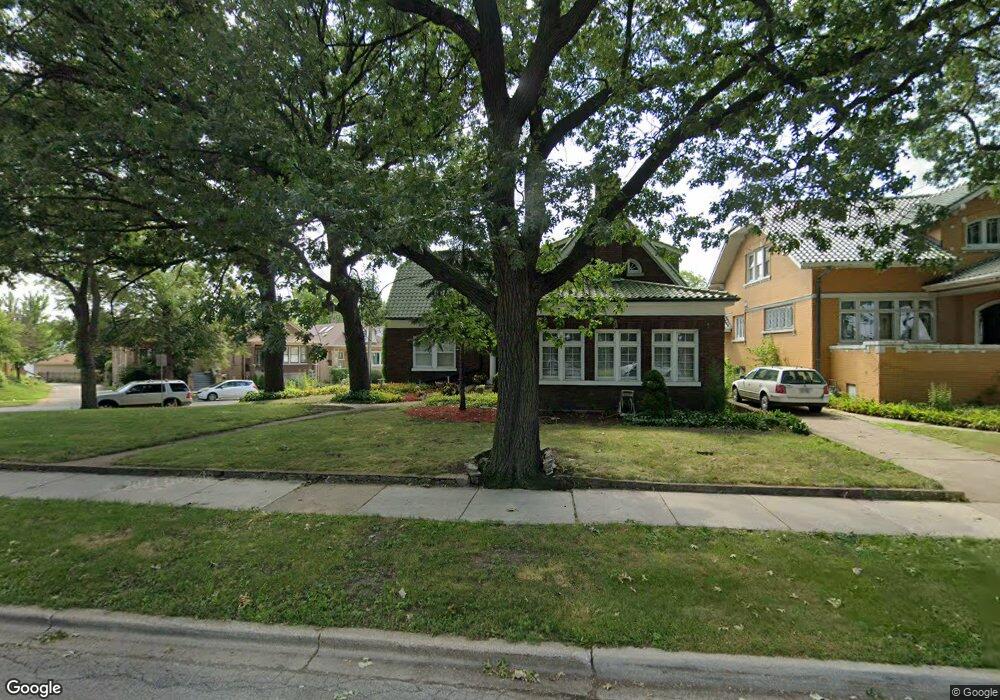
7000 Riverside Dr Berwyn, IL 60402
Estimated Value: $375,156 - $508,000
4
Beds
3
Baths
4,400
Sq Ft
$101/Sq Ft
Est. Value
About This Home
This home is located at 7000 Riverside Dr, Berwyn, IL 60402 and is currently estimated at $443,039, approximately $100 per square foot. 7000 Riverside Dr is a home located in Cook County with nearby schools including Charles E. Piper School, Freedom Middle School, and J Sterling Morton West High School.
Ownership History
Date
Name
Owned For
Owner Type
Purchase Details
Closed on
Jan 15, 2018
Sold by
Mounts Josephine
Bought by
Mounts Josephine and Beatrice Mounts Living Trust
Current Estimated Value
Purchase Details
Closed on
Feb 27, 2009
Sold by
Recht Donald E and Recht Mary Ann
Bought by
Mounts Beatrice
Home Financials for this Owner
Home Financials are based on the most recent Mortgage that was taken out on this home.
Original Mortgage
$232,000
Interest Rate
5.14%
Mortgage Type
Unknown
Create a Home Valuation Report for This Property
The Home Valuation Report is an in-depth analysis detailing your home's value as well as a comparison with similar homes in the area
Home Values in the Area
Average Home Value in this Area
Purchase History
| Date | Buyer | Sale Price | Title Company |
|---|---|---|---|
| Mounts Josephine | -- | Attorney | |
| Mounts Beatrice | $290,000 | Multiple |
Source: Public Records
Mortgage History
| Date | Status | Borrower | Loan Amount |
|---|---|---|---|
| Closed | Mounts Beatrice | $232,000 |
Source: Public Records
Tax History Compared to Growth
Tax History
| Year | Tax Paid | Tax Assessment Tax Assessment Total Assessment is a certain percentage of the fair market value that is determined by local assessors to be the total taxable value of land and additions on the property. | Land | Improvement |
|---|---|---|---|---|
| 2024 | $10,367 | $29,000 | $8,996 | $20,004 |
| 2023 | $9,173 | $29,000 | $8,996 | $20,004 |
| 2022 | $9,173 | $20,187 | $7,895 | $12,292 |
| 2021 | $8,899 | $20,186 | $7,894 | $12,292 |
| 2020 | $8,937 | $21,450 | $7,894 | $13,556 |
| 2019 | $8,282 | $18,377 | $7,160 | $11,217 |
| 2018 | $7,796 | $18,377 | $7,160 | $11,217 |
| 2017 | $7,979 | $18,377 | $7,160 | $11,217 |
| 2016 | $6,625 | $15,277 | $5,875 | $9,402 |
| 2015 | $6,495 | $15,277 | $5,875 | $9,402 |
| 2014 | $6,263 | $15,277 | $5,875 | $9,402 |
| 2013 | $5,784 | $18,494 | $5,875 | $12,619 |
Source: Public Records
Map
Nearby Homes
- 6921 26th St
- 7102 Riverside Dr
- 2508 Kenilworth Ave
- 2402 Clinton Ave
- 2811 Wisconsin Ave
- 2436 Grove Ave
- 2636 Grove Ave
- 567 Byrd Rd
- 2336 Oak Park Ave
- 562 Byrd Rd
- 6908 26th St
- 2715 Oak Park Ave
- 2914 Maple Ave
- 503 Longcommon Rd
- 2221 Home Ave
- 2722 Euclid Ave
- 2220 Clinton Ave
- 6840 29th Place
- 6828 29th Place
- 6948 30th St
- 7010 Riverside Dr
- 7016 Riverside Dr
- 6962 Riverside Dr
- 2525 Home Ave
- 2536 Home Ave
- 2527 Home Ave
- 2529 Home Ave
- 2531 Home Ave
- 2531 Home Ave
- 6958 Riverside Dr
- 2540 Home Ave
- 2533 Home Ave
- 6956 Riverside Dr
- 7003 26th St Unit G
- 7003 26th St
- 7005 26th Place
- 7005 26th Place
- 6951 26th St
- 6954 Riverside Dr
- 6949 26th St