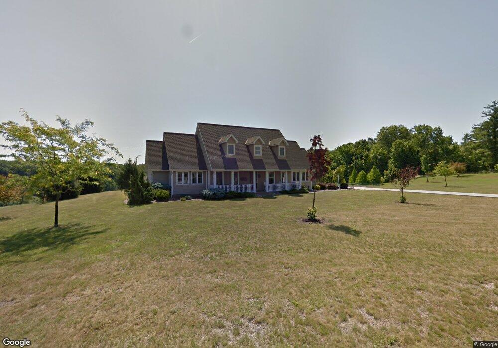
7000 Saddlebrook Dr Nashport, OH 43830
Estimated Value: $555,000 - $674,000
3
Beds
3
Baths
2,469
Sq Ft
$248/Sq Ft
Est. Value
About This Home
This home is located at 7000 Saddlebrook Dr, Nashport, OH 43830 and is currently estimated at $611,999, approximately $247 per square foot. 7000 Saddlebrook Dr is a home located in Muskingum County with nearby schools including Tri-Valley High School.
Ownership History
Date
Name
Owned For
Owner Type
Purchase Details
Closed on
Oct 23, 2018
Sold by
Clark Donald K and Clark Cynthia A
Bought by
Mccarty Thomas A and Allen Andrea J
Current Estimated Value
Home Financials for this Owner
Home Financials are based on the most recent Mortgage that was taken out on this home.
Original Mortgage
$264,000
Outstanding Balance
$230,714
Interest Rate
4.6%
Mortgage Type
New Conventional
Estimated Equity
$381,285
Create a Home Valuation Report for This Property
The Home Valuation Report is an in-depth analysis detailing your home's value as well as a comparison with similar homes in the area
Home Values in the Area
Average Home Value in this Area
Purchase History
| Date | Buyer | Sale Price | Title Company |
|---|---|---|---|
| Mccarty Thomas A | $330,000 | None Available |
Source: Public Records
Mortgage History
| Date | Status | Borrower | Loan Amount |
|---|---|---|---|
| Open | Mccarty Thomas A | $264,000 |
Source: Public Records
Tax History Compared to Growth
Tax History
| Year | Tax Paid | Tax Assessment Tax Assessment Total Assessment is a certain percentage of the fair market value that is determined by local assessors to be the total taxable value of land and additions on the property. | Land | Improvement |
|---|---|---|---|---|
| 2024 | $4,864 | $146,510 | $23,450 | $123,060 |
| 2023 | $4,339 | $121,625 | $17,920 | $103,705 |
| 2022 | $4,222 | $121,625 | $17,920 | $103,705 |
| 2021 | $4,160 | $121,625 | $17,920 | $103,705 |
| 2020 | $3,687 | $105,770 | $15,575 | $90,195 |
| 2019 | $3,688 | $105,770 | $15,575 | $90,195 |
| 2018 | $3,440 | $105,770 | $15,575 | $90,195 |
| 2017 | $3,233 | $86,800 | $15,575 | $71,225 |
| 2016 | $3,058 | $86,810 | $15,580 | $71,230 |
| 2015 | $3,138 | $86,810 | $15,580 | $71,230 |
| 2013 | $3,530 | $86,810 | $15,580 | $71,230 |
Source: Public Records
Map
Nearby Homes
- 2505 Kenlo Woods Dr
- 6705 Frazeysburg Rd
- 6705 Frazeysburd Rd
- 7360 Jones Rd
- 3755 Gorsuch Rd
- 6180 Arnies Dr
- 3865 Creamery Rd
- 6008 Shala Cir
- 4321 Creamery Rd
- 1560 Coachlite Cir
- 1650 Richvale Rd
- 0 E Sheffield Cir
- 0 Sheffield Circle-9 4 Acres Unit 224009901
- 0 Newark Rd
- 9520 McGlade School Rd
- 3168 Maple Creek Dr
- 3204 Maple Creek Dr
- 2695 Ash Meadows Blvd
- 2530 Monnie Place
- 5020 Wilshire Dr
- 7010 Saddlebrook Dr
- 7005 Saddlebrook Dr
- 7027 Saddlebrook Dr
- 3005 Powelson Dr
- 7034 Eaglepoint Dr
- 3035 Powelson Dr
- 7054 Eaglepoint Dr
- 7014 Eaglepoint Dr
- 7074 Eaglepoint Dr
- 7094 Eaglepoint Dr
- 7045 Saddlebrook Dr
- 3100 Bridle Trail
- 7124 Eaglepoint Dr
- 3070 Bridle Trail
- 7144 Eaglepoint Dr
- 7047 Eaglepoint Dr
- 7007 Eaglepoint Dr
- 7067 Saddlebrook Dr
- 7075 Eaglepoint Dr
- 7164 Eaglepoint Dr