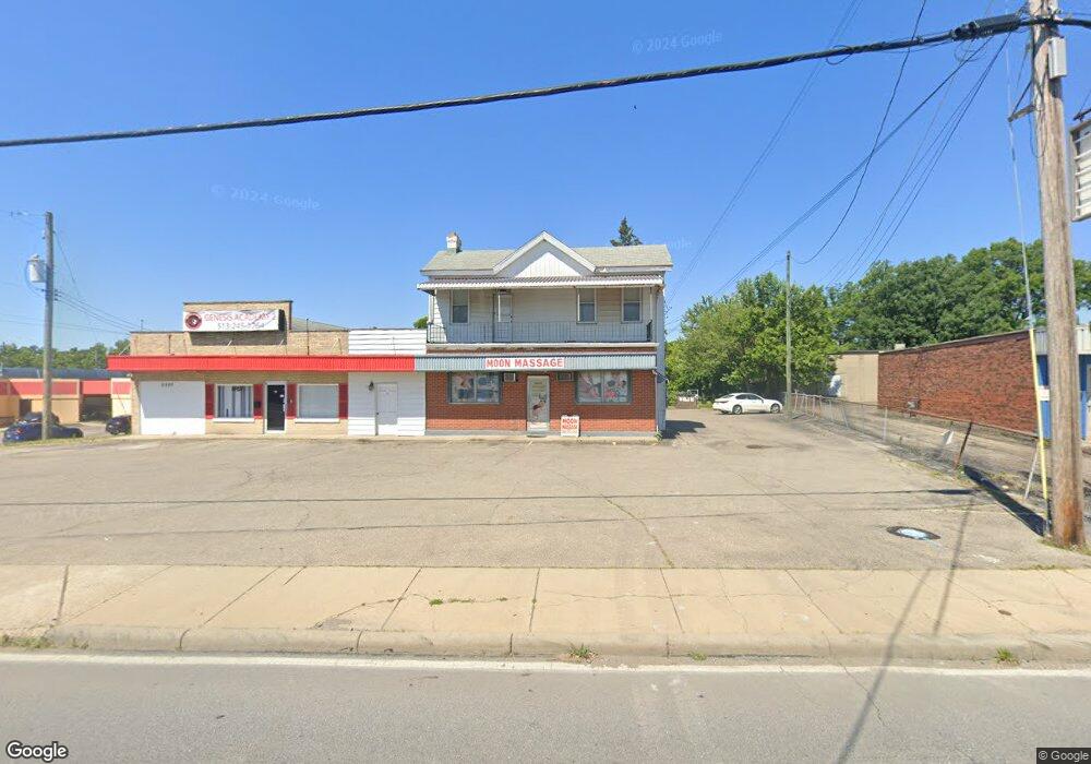
7001 Colerain Ave Cincinnati, OH 45239
Estimated Value: $537,720
Studio
--
Bath
2,528
Sq Ft
$213/Sq Ft
Est. Value
About This Home
This home is located at 7001 Colerain Ave, Cincinnati, OH 45239 and is currently estimated at $537,720, approximately $212 per square foot. 7001 Colerain Ave is a home located in Hamilton County with nearby schools including White Oak Middle School, Colerain High School, and Cincinnati Achievement Academy.
Ownership History
Date
Name
Owned For
Owner Type
Purchase Details
Closed on
Aug 15, 2016
Sold by
Ramminger Frank and Ramminger Dale
Bought by
Red Chopsticks Bistro Inc
Current Estimated Value
Purchase Details
Closed on
Aug 31, 2006
Sold by
Ramminger Frank and Ramminger Dale
Bought by
State Of Ohio and Department Of Transportation
Purchase Details
Closed on
Oct 3, 2003
Sold by
Blue Chip Holding Co
Bought by
Showcase Building & Design Inc
Home Financials for this Owner
Home Financials are based on the most recent Mortgage that was taken out on this home.
Original Mortgage
$89,250
Interest Rate
6.49%
Mortgage Type
Purchase Money Mortgage
Purchase Details
Closed on
Nov 7, 2000
Sold by
Estate Of Minnie Stolle
Bought by
Ramminger Frank and Ramminger Dale
Create a Home Valuation Report for This Property
The Home Valuation Report is an in-depth analysis detailing your home's value as well as a comparison with similar homes in the area
Home Values in the Area
Average Home Value in this Area
Purchase History
| Date | Buyer | Sale Price | Title Company |
|---|---|---|---|
| Red Chopsticks Bistro Inc | $224,000 | -- | |
| State Of Ohio | $14,150 | Attorney | |
| Showcase Building & Design Inc | $178,500 | -- | |
| Ramminger Frank | -- | -- |
Source: Public Records
Mortgage History
| Date | Status | Borrower | Loan Amount |
|---|---|---|---|
| Previous Owner | Showcase Building & Design Inc | $89,250 |
Source: Public Records
Tax History
| Year | Tax Paid | Tax Assessment Tax Assessment Total Assessment is a certain percentage of the fair market value that is determined by local assessors to be the total taxable value of land and additions on the property. | Land | Improvement |
|---|---|---|---|---|
| 2025 | $7,235 | $87,872 | $57,369 | $30,503 |
| 2023 | $6,847 | $87,872 | $57,369 | $30,503 |
| 2022 | $7,174 | $80,752 | $53,760 | $26,992 |
| 2021 | $7,200 | $80,752 | $53,760 | $26,992 |
| 2020 | $7,085 | $80,752 | $53,760 | $26,992 |
| 2019 | $7,047 | $78,401 | $52,196 | $26,205 |
| 2018 | $6,426 | $78,401 | $52,196 | $26,205 |
| 2017 | $6,214 | $78,401 | $52,196 | $26,205 |
| 2016 | $6,274 | $78,400 | $78,050 | $350 |
| 2015 | $8,691 | $107,247 | $90,167 | $17,080 |
| 2014 | $8,744 | $107,247 | $90,167 | $17,080 |
| 2013 | $8,642 | $109,438 | $92,008 | $17,430 |
Source: Public Records
Map
Nearby Homes
- 3140 Banning Rd
- 3150 Banning Rd
- 3161 Preserve Ln Unit 3D
- 3161 Preserve Ln
- 3181 Preserve Ln
- 3181 Preserve Ln Unit 1C
- 3191 Preserve Ln
- 3250 March Terrace
- 2820 Geraldine Dr
- 2757 Banning Rd
- 2806 Breezy Way
- 6893 Newbridge Dr
- 3329 Alexis Rd
- 7170 Longwood Ct
- 3209 Autumn Ln
- 2801 Byrneside Dr
- 2922 Royal Glen Dr
- 3407 Lapland Dr
- 3336 Nandale Dr
- 6278 Seiler Dr
- 7079 Colerain Ave
- 3053 Banning Rd
- 3063 Banning Rd
- 7141 Colerain Ave
- 3083 Banning Rd
- 6963 Colerain Ave
- 6965 Colerain Ave
- 2957 Banning Rd
- 3052 Banning Rd
- 6967 Colerain Ave
- 6969 Colerain Ave
- 6967 Colerain Ave
- 6969 Colerain Ave
- 2970 Banning Rd
- 3093 Banning Rd
- 3064 Banning Rd
- 6979 Colerain Ave
- 6977 Colerain Ave
- 6975 Colerain Ave
- 6973 Colerain Ave
Your Personal Tour Guide
Ask me questions while you tour the home.