7001 Page Rd Cary, NC 27519
West Cary NeighborhoodEstimated Value: $632,000 - $657,000
--
Bed
--
Bath
1,896
Sq Ft
$337/Sq Ft
Est. Value
About This Home
This home is located at 7001 Page Rd, Cary, NC 27519 and is currently estimated at $639,886, approximately $337 per square foot. 7001 Page Rd is a home with nearby schools including Turner Creek Elementary School, Salem Middle, and Green Level High School.
Ownership History
Date
Name
Owned For
Owner Type
Purchase Details
Closed on
May 21, 2025
Sold by
Thorpe Dorothy P and Rich Whitney Leonard
Bought by
Toll Southeast Lp Company Inc
Current Estimated Value
Purchase Details
Closed on
May 4, 2007
Sold by
Thorpe Tony Lamar and Thorpe Tunisha B
Bought by
Fridley Darin L and Fridley Elizabeth M
Purchase Details
Closed on
Dec 23, 1994
Sold by
Page Johnnie and Page Inez
Bought by
Thorpe Tony Lamar
Create a Home Valuation Report for This Property
The Home Valuation Report is an in-depth analysis detailing your home's value as well as a comparison with similar homes in the area
Home Values in the Area
Average Home Value in this Area
Purchase History
| Date | Buyer | Sale Price | Title Company |
|---|---|---|---|
| Toll Southeast Lp Company Inc | -- | None Listed On Document | |
| Toll Southeast Lp Company Inc | -- | None Listed On Document | |
| Toll Southeast Lp Company Inc | $653,500 | None Listed On Document | |
| Toll Southeast Lp Company Inc | $653,500 | None Listed On Document | |
| Fridley Darin L | -- | None Available | |
| Thorpe Tony Lamar | -- | -- |
Source: Public Records
Tax History Compared to Growth
Tax History
| Year | Tax Paid | Tax Assessment Tax Assessment Total Assessment is a certain percentage of the fair market value that is determined by local assessors to be the total taxable value of land and additions on the property. | Land | Improvement |
|---|---|---|---|---|
| 2025 | $4,250 | $493,564 | $250,720 | $242,844 |
| 2024 | $4,159 | $493,564 | $250,720 | $242,844 |
| 2023 | $2,564 | $253,876 | $91,904 | $161,972 |
| 2022 | $2,469 | $253,876 | $91,904 | $161,972 |
| 2021 | $2,419 | $253,876 | $91,904 | $161,972 |
| 2020 | $302 | $253,876 | $91,904 | $161,972 |
| 2019 | $1,711 | $207,027 | $78,624 | $128,403 |
| 2018 | $1,574 | $207,027 | $78,624 | $128,403 |
| 2017 | $1,492 | $207,027 | $78,624 | $128,403 |
| 2016 | $1,462 | $207,027 | $78,624 | $128,403 |
| 2015 | $1,875 | $267,153 | $137,440 | $129,713 |
| 2014 | $1,778 | $267,153 | $137,440 | $129,713 |
Source: Public Records
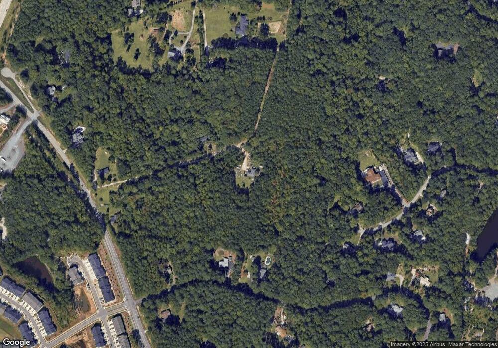
Map
Nearby Homes
- 6824 Wood Forest Dr
- 479 Clark Creek Ln
- 709 Oak Ridge Dr
- 713 Oak Ridge Dr
- 721 Oak Ridge Dr
- 720 Oak Ridge Dr
- 708 Oak Ridge Dr
- 705 Oak Ridge Dr
- 712 Oak Ridge Dr
- 700 Oak Ridge Dr
- 424 Brook Pine Trail
- 2017 Battlewood Rd
- 112 Amiable Loop
- 2314 Colony Woods Dr
- 2317 Colony Woods Dr
- 535 Spire Bend
- 553 Duggins Point
- 772 Mirkwood Ave
- 2414 Bristers Spring Way
- 1705 Pointe Crossing
- 7124 Roberts Rd
- 7116 Roberts Rd
- 7016 Page Rd
- 201 Trelawney Ln
- 303 Trelawney Ln
- 6844 Wood Forest Dr
- 521 Lapis Ln
- 6845 Wood Forest Dr
- 6832 Wood Forest Dr
- 405 Trelawney Ln
- 105 Trelawney Ln
- 524 Lapis Ln
- 6933 Wade Dr
- 6925 Wade Dr
- 409 Trelawney Ln
- 6837 Wood Forest Dr
- 6835 Wade Dr
- 6824 Wood Forest Dr Unit 2
- 304 Trelawney Ln
- 304 Trelawney