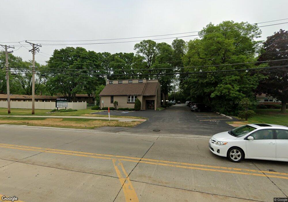
7001 W 127th St Palos Heights, IL 60463
Downtown Palos Heights Neighborhood
--
Bed
--
Bath
--
Sq Ft
0.59
Acres
About This Home
This home is located at 7001 W 127th St, Palos Heights, IL 60463. 7001 W 127th St is a home located in Cook County with nearby schools including Navajo Heights Elementary School, Chippewa Elementary School, and Independence Jr High School.
Ownership History
Date
Name
Owned For
Owner Type
Purchase Details
Closed on
Aug 18, 1999
Sold by
Fonders Bank
Bought by
Palos Bank & Trust Company and Trust #1-4679
Home Financials for this Owner
Home Financials are based on the most recent Mortgage that was taken out on this home.
Original Mortgage
$319,500
Outstanding Balance
$93,608
Interest Rate
7.9%
Mortgage Type
Commercial
Create a Home Valuation Report for This Property
The Home Valuation Report is an in-depth analysis detailing your home's value as well as a comparison with similar homes in the area
Home Values in the Area
Average Home Value in this Area
Purchase History
| Date | Buyer | Sale Price | Title Company |
|---|---|---|---|
| Palos Bank & Trust Company | -- | -- |
Source: Public Records
Mortgage History
| Date | Status | Borrower | Loan Amount |
|---|---|---|---|
| Open | Palos Bank & Trust Company | $319,500 |
Source: Public Records
Tax History Compared to Growth
Tax History
| Year | Tax Paid | Tax Assessment Tax Assessment Total Assessment is a certain percentage of the fair market value that is determined by local assessors to be the total taxable value of land and additions on the property. | Land | Improvement |
|---|---|---|---|---|
| 2024 | $25,099 | $82,912 | $62,500 | $20,412 |
| 2023 | $31,904 | $82,912 | $62,500 | $20,412 |
| 2022 | $31,904 | $88,353 | $40,625 | $47,728 |
| 2021 | $30,461 | $88,352 | $40,625 | $47,727 |
| 2020 | $29,883 | $88,352 | $40,625 | $47,727 |
| 2019 | $32,799 | $99,004 | $37,500 | $61,504 |
| 2018 | $27,195 | $86,704 | $37,500 | $49,204 |
| 2017 | $31,028 | $99,005 | $37,500 | $61,505 |
| 2016 | $32,128 | $97,783 | $34,375 | $63,408 |
| 2015 | $31,458 | $97,783 | $34,375 | $63,408 |
| 2014 | $30,542 | $97,783 | $34,375 | $63,408 |
| 2013 | $27,504 | $95,127 | $34,375 | $60,752 |
Source: Public Records
Map
Nearby Homes
- 12646 S 69th Ct
- 6839 W 127th St
- 6840 W Evergreen Ave
- 12815 S Seneca Rd
- 7309 W Palos Ave
- 12900 S Seneca Rd
- 12422 S 70th Ct
- 6711 W Shiawassie Dr
- 13064 S 71st Ave
- 6709 W Menominee Pkwy
- 13007 S Oak Park Ave
- 6519 W 126th Place
- 7415 W Ute Ln
- 12332 S Richard Ave
- 430 Shadow Creek Dr
- 12243 S 76th Ave
- 12810 S Cedar Ln
- 12626 S London Ln Unit 2
- 12246 S Nagle Ave
- 12022 S 72nd Ct
- 7001 W 127th St Unit 203
- 7001 W 127th St Unit 202
- 12700 S 70th Ave
- 12710 S 70th Ave
- 7008 W 127th St
- 12726 S 70th Ave
- 7000 W 127th St
- 7000 W 127th St Unit 1SW
- 7000 W 127th St Unit 2W
- 7056 W 127th St
- 7056 W 127th St Unit 1W
- 12734 S 70th Ave
- 12715 S 70th Ave
- 12640 S 70th Ave
- 12659 S 70th Ave
- 12655 S 70th Ave
- 12719 S 70th Ave
- 12651 S 70th Ave
- 12647 S 70th Ave
- 12723 S 70th Ave