7002 Oak Shadow Ln High Ridge, MO 63049
Estimated Value: $319,318 - $351,000
--
Bed
1
Bath
1,144
Sq Ft
$292/Sq Ft
Est. Value
About This Home
This home is located at 7002 Oak Shadow Ln, High Ridge, MO 63049 and is currently estimated at $334,580, approximately $292 per square foot. 7002 Oak Shadow Ln is a home located in Jefferson County with nearby schools including Northwest High School.
Ownership History
Date
Name
Owned For
Owner Type
Purchase Details
Closed on
Oct 31, 2022
Sold by
Koke Gregg W
Bought by
Scheurman Jeff and Scheurman Judy
Current Estimated Value
Home Financials for this Owner
Home Financials are based on the most recent Mortgage that was taken out on this home.
Original Mortgage
$241,388
Outstanding Balance
$233,554
Interest Rate
6.7%
Mortgage Type
VA
Estimated Equity
$101,026
Purchase Details
Closed on
Dec 3, 2020
Sold by
Isselhardt Lee O and Isselhardt Claire M
Bought by
Koke Gregg and Meyer Ashley
Home Financials for this Owner
Home Financials are based on the most recent Mortgage that was taken out on this home.
Original Mortgage
$140,000
Interest Rate
2.8%
Mortgage Type
New Conventional
Purchase Details
Closed on
Nov 1, 1999
Sold by
Lee Sullins Brenda and Lee Brenda L
Bought by
Isselhardt Lee O and Isselhardt Claire M
Create a Home Valuation Report for This Property
The Home Valuation Report is an in-depth analysis detailing your home's value as well as a comparison with similar homes in the area
Home Values in the Area
Average Home Value in this Area
Purchase History
| Date | Buyer | Sale Price | Title Company |
|---|---|---|---|
| Scheurman Jeff | -- | Investors Title | |
| Koke Gregg | -- | Investors Title Company | |
| Isselhardt Lee O | -- | First American Title |
Source: Public Records
Mortgage History
| Date | Status | Borrower | Loan Amount |
|---|---|---|---|
| Open | Scheurman Jeff | $241,388 | |
| Previous Owner | Koke Gregg | $140,000 |
Source: Public Records
Tax History Compared to Growth
Tax History
| Year | Tax Paid | Tax Assessment Tax Assessment Total Assessment is a certain percentage of the fair market value that is determined by local assessors to be the total taxable value of land and additions on the property. | Land | Improvement |
|---|---|---|---|---|
| 2025 | $1,741 | $24,600 | $6,900 | $17,700 |
| 2024 | $1,741 | $23,100 | $6,900 | $16,200 |
| 2023 | $1,741 | $23,100 | $6,900 | $16,200 |
| 2022 | $1,755 | $23,100 | $6,900 | $16,200 |
| 2021 | $1,816 | $24,100 | $6,900 | $17,200 |
| 2020 | $1,686 | $21,800 | $6,300 | $15,500 |
| 2019 | $1,685 | $21,800 | $6,300 | $15,500 |
| 2018 | $1,697 | $21,800 | $6,300 | $15,500 |
| 2017 | $1,562 | $21,800 | $6,300 | $15,500 |
| 2016 | $1,489 | $20,600 | $6,300 | $14,300 |
| 2015 | $1,465 | $20,600 | $6,300 | $14,300 |
| 2013 | $1,465 | $19,700 | $5,700 | $14,000 |
Source: Public Records
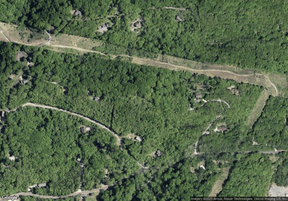
Map
Nearby Homes
- 7000 Twin River Rd
- 45 Rd
- 2864 Patti Ln
- 2516 Ridgeview Dr
- 2460 Huntress Hill Ln
- 0 3 Lot Blk 2 High Ridge Manor Unit MAR24044893
- 6752 Walnut Valley Dr
- 3279 Echo Lake Dr
- 3 & 5 Broken Arrow Ct
- 2715 Royal Oak Dr
- 6 Broken Arrow Ct
- 3303 Byrnes Mill Rd
- 2060 Hillsboro Valley Park Rd
- 6152 Franks Rd
- 2276 Appaloosa Trail
- 1 Misty Ridge (Lot 1)
- 2135 Linnus Dr
- 2149 Linnus Dr
- 2133 Ridgedale Dr
- 101 Lipizzan Ct
- 2260 Davis Dr
- 2284 Davis Dr
- 2261 Davis Dr
- 2200 Hawks Ridge Dr
- 2233 Davis Dr
- 11+/- Acre Jim Weber Rd
- 11 Jim Weber + - Acre Rd
- 7025 Spavale Dr
- 7070 Oak Shadow Ln
- 7073 Spavale Dr
- 7051 Jim Weber Rd
- 2212 Hawks Ridge Dr
- 7107 Jim Weber Rd
- 7006 Spavale Dr
- 0 Spavale Dr Unit 19033465
- 0 Spavale Dr Unit 19033460
- 0 Spavale Dr Unit 19031503
- 7003 Spavale Dr
- 2313 Victoria Ln
- 7070 Spavale Dr