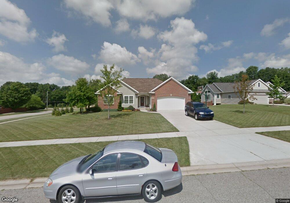
7003 Acadia Ct Hudsonville, MI 49426
Estimated Value: $384,000 - $454,000
3
Beds
3
Baths
1,482
Sq Ft
$284/Sq Ft
Est. Value
About This Home
This home is located at 7003 Acadia Ct, Hudsonville, MI 49426 and is currently estimated at $421,444, approximately $284 per square foot. 7003 Acadia Ct is a home located in Ottawa County with nearby schools including Baldwin Street Middle School, Hudsonville Freshman Campus, and Hudsonville High School.
Ownership History
Date
Name
Owned For
Owner Type
Purchase Details
Closed on
Apr 16, 2008
Sold by
Heibel Stephen G and Heibel Tammy L
Bought by
Tuuk Ryan C and Tuuk Julie M
Current Estimated Value
Home Financials for this Owner
Home Financials are based on the most recent Mortgage that was taken out on this home.
Original Mortgage
$140,800
Outstanding Balance
$89,748
Interest Rate
6.09%
Mortgage Type
Purchase Money Mortgage
Estimated Equity
$331,696
Purchase Details
Closed on
Oct 18, 2007
Sold by
Heibel Stephen G and Heibel Tammy L
Bought by
Wells Fargo Bank Na
Create a Home Valuation Report for This Property
The Home Valuation Report is an in-depth analysis detailing your home's value as well as a comparison with similar homes in the area
Home Values in the Area
Average Home Value in this Area
Purchase History
| Date | Buyer | Sale Price | Title Company |
|---|---|---|---|
| Tuuk Ryan C | $176,000 | None Available | |
| Wells Fargo Bank Na | $192,699 | None Available |
Source: Public Records
Mortgage History
| Date | Status | Borrower | Loan Amount |
|---|---|---|---|
| Open | Tuuk Ryan C | $140,800 |
Source: Public Records
Tax History Compared to Growth
Tax History
| Year | Tax Paid | Tax Assessment Tax Assessment Total Assessment is a certain percentage of the fair market value that is determined by local assessors to be the total taxable value of land and additions on the property. | Land | Improvement |
|---|---|---|---|---|
| 2025 | $3,052 | $173,400 | $0 | $0 |
| 2024 | $2,641 | $175,200 | $0 | $0 |
| 2023 | $2,523 | $159,400 | $0 | $0 |
| 2022 | $3,046 | $142,800 | $0 | $0 |
| 2021 | $2,975 | $133,700 | $0 | $0 |
| 2020 | $2,955 | $126,900 | $0 | $0 |
| 2019 | $2,967 | $116,700 | $0 | $0 |
| 2018 | $2,230 | $107,900 | $0 | $0 |
| 2017 | $2,190 | $108,100 | $0 | $0 |
| 2016 | $2,177 | $100,800 | $0 | $0 |
| 2015 | $2,078 | $93,100 | $0 | $0 |
| 2014 | $2,078 | $80,900 | $0 | $0 |
Source: Public Records
Map
Nearby Homes
- 6950 Meadowcreek Dr
- 4101 Blair St
- 4106 Blair St
- 6701 Arlene Dr
- 3617 Teton Dr
- 3528 Tearose Dr
- 3544 Nobb Hill Dr
- 6863 Bridgeport Dr
- 6821 Bridgeport Dr
- 0 Baldwin St
- 7318 Alycia Dr
- 4087 Baldwin St
- 3808 Port Sheldon St
- V/L Port Sheldon St
- 7313 Valhalla Dr
- 3204 Port Sheldon St
- 7918 Westside Dr
- 3546 Eagles Roost Trail Unit 3
- 2969 Osprey Dr Unit 27
- 7381 Rolling Hills Dr