7005 Lindrath Washington, MI 48094
Estimated Value: $553,000 - $603,000
3
Beds
3
Baths
2,300
Sq Ft
$250/Sq Ft
Est. Value
About This Home
This home is located at 7005 Lindrath, Washington, MI 48094 and is currently estimated at $576,066, approximately $250 per square foot. 7005 Lindrath is a home located in Macomb County with nearby schools including Cross Of Glory Lutheran School and Peace Lutheran School.
Ownership History
Date
Name
Owned For
Owner Type
Purchase Details
Closed on
Oct 16, 2013
Sold by
Leung Jennifer and Chase Jennifer
Bought by
Leung Johnny and Leung Jennifer
Current Estimated Value
Home Financials for this Owner
Home Financials are based on the most recent Mortgage that was taken out on this home.
Original Mortgage
$237,770
Outstanding Balance
$63,021
Interest Rate
4.59%
Mortgage Type
New Conventional
Estimated Equity
$513,045
Purchase Details
Closed on
Sep 11, 2008
Sold by
Gwisdalla Joseph N and Gwisdalla Jane A
Bought by
Chase Jennifer
Create a Home Valuation Report for This Property
The Home Valuation Report is an in-depth analysis detailing your home's value as well as a comparison with similar homes in the area
Home Values in the Area
Average Home Value in this Area
Purchase History
| Date | Buyer | Sale Price | Title Company |
|---|---|---|---|
| Leung Johnny | -- | None Available | |
| Chase Jennifer | $310,000 | Philip R Seaver Title Co Inc |
Source: Public Records
Mortgage History
| Date | Status | Borrower | Loan Amount |
|---|---|---|---|
| Open | Leung Johnny | $237,770 |
Source: Public Records
Tax History Compared to Growth
Tax History
| Year | Tax Paid | Tax Assessment Tax Assessment Total Assessment is a certain percentage of the fair market value that is determined by local assessors to be the total taxable value of land and additions on the property. | Land | Improvement |
|---|---|---|---|---|
| 2025 | $4,065 | $277,100 | $0 | $0 |
| 2024 | $2,746 | $260,500 | $0 | $0 |
| 2023 | $2,351 | $237,600 | $0 | $0 |
| 2022 | $3,252 | $220,100 | $0 | $0 |
| 2021 | $3,181 | $214,500 | $0 | $0 |
| 2020 | $2,167 | $201,100 | $0 | $0 |
| 2019 | $2,919 | $203,800 | $0 | $0 |
| 2018 | $0 | $170,700 | $0 | $0 |
| 2017 | $2,759 | $133,100 | $57,700 | $75,400 |
| 2016 | $2,763 | $133,100 | $0 | $0 |
| 2015 | -- | $125,700 | $0 | $0 |
| 2013 | $2,914 | $90,700 | $27,500 | $63,200 |
| 2012 | $2,914 | $93,900 | $0 | $0 |
Source: Public Records
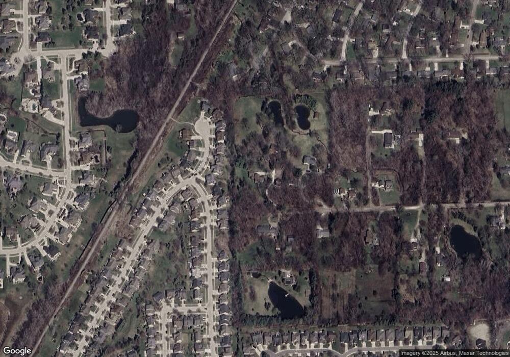
Map
Nearby Homes
- 58152 Carbine
- 58144 Pheasant Ridge
- 7250 Lindrath
- 7427 Emerson
- 6797 Boulder Pointe Dr Unit 25
- 6725 Boulder Pointe Dr Unit 7
- 6933 Boulder Pointe Dr Unit 59
- 58019 Van Dyke Rd
- 57136 Megan Dr
- 57016 Megan Dr
- 0 Cathey Unit Lot 4
- 0 Cathey Unit Lot 5
- 56502 Edgewood Dr
- 56563 Scotland Blvd Unit 113
- 56543 Scotland Blvd
- 56471 Chesapeake Trail Unit 173
- 8400 27 Mile Rd Unit Lot 2
- 8400 27 Mile Rd Unit Lot 1
- 00 Oakridge Dr
- 56246 Troon N Unit 195
- 7015 Lindrath
- 57700 Yorkshire Ct
- 57718 Yorkshire Ct
- 57682 Yorkshire Ct
- 57736 Yorkshire Ct
- 57664 Yorkshire Ct
- 57754 Yorkshire Ct
- 58010 Kimber
- 57648 Suffield Dr
- 57630 Suffield Dr
- 57612 Suffield Dr
- 7038 Emerson
- 7056 Emerson
- 57772 Yorkshire Ct
- 57594 Suffield Dr
- 57703 Yorkshire Ct
- 7101 Lindrath
- 0 Lindrath
- 57685 Yorkshire Ct
- 57721 Yorkshire Ct