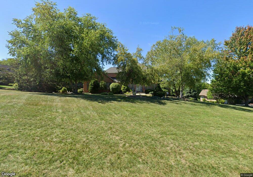
7005 Prairie Dr Spring Grove, IL 60081
Estimated Value: $587,121 - $730,000
4
Beds
--
Bath
2,779
Sq Ft
$239/Sq Ft
Est. Value
About This Home
This home is located at 7005 Prairie Dr, Spring Grove, IL 60081 and is currently estimated at $665,280, approximately $239 per square foot. 7005 Prairie Dr is a home located in McHenry County with nearby schools including Richmond Grade School, Nippersink Middle School, and Richmond-Burton High School.
Ownership History
Date
Name
Owned For
Owner Type
Purchase Details
Closed on
Aug 11, 1995
Sold by
Mchenry State Bank
Bought by
Nelson Richard A and Nelson Mary M
Current Estimated Value
Home Financials for this Owner
Home Financials are based on the most recent Mortgage that was taken out on this home.
Original Mortgage
$90,000
Interest Rate
7.64%
Create a Home Valuation Report for This Property
The Home Valuation Report is an in-depth analysis detailing your home's value as well as a comparison with similar homes in the area
Home Values in the Area
Average Home Value in this Area
Purchase History
| Date | Buyer | Sale Price | Title Company |
|---|---|---|---|
| Nelson Richard A | $49,000 | Chicago Title |
Source: Public Records
Mortgage History
| Date | Status | Borrower | Loan Amount |
|---|---|---|---|
| Closed | Nelson Richard A | $90,000 |
Source: Public Records
Tax History Compared to Growth
Tax History
| Year | Tax Paid | Tax Assessment Tax Assessment Total Assessment is a certain percentage of the fair market value that is determined by local assessors to be the total taxable value of land and additions on the property. | Land | Improvement |
|---|---|---|---|---|
| 2024 | $10,777 | $156,905 | $26,708 | $130,197 |
| 2023 | $10,422 | $143,436 | $24,415 | $119,021 |
| 2022 | $10,770 | $135,341 | $21,984 | $113,357 |
| 2021 | $10,415 | $129,898 | $21,100 | $108,798 |
| 2020 | $10,237 | $124,986 | $20,302 | $104,684 |
| 2019 | $10,108 | $120,970 | $19,650 | $101,320 |
| 2018 | $10,182 | $115,972 | $18,838 | $97,134 |
| 2017 | $10,164 | $110,439 | $17,939 | $92,500 |
| 2016 | $13,053 | $132,037 | $16,819 | $115,218 |
| 2013 | -- | $95,880 | $15,902 | $79,978 |
Source: Public Records
Map
Nearby Homes
- 4223 Northgate Dr
- 7310 Hillside Dr
- 3313 Ridge Rd
- 3515 Kings Lair Dr
- Newport - Two-story Plan at Fieldstone Ridge
- Glendale - Two-story Plan at Fieldstone Ridge
- Monroe II - Two-story Plan at Fieldstone Ridge
- Madison - Two-story Plan at Fieldstone Ridge
- Catalina - Two-story Plan at Fieldstone Ridge
- Jefferson - Two-story Plan at Fieldstone Ridge
- Dawson - Two-story Plan at Fieldstone Ridge
- Stafford - Two-story Plan at Fieldstone Ridge
- Brady II - Ranch Plan at Fieldstone Ridge
- Brady - Ranch Plan at Fieldstone Ridge
- Elway - Ranch Plan at Fieldstone Ridge
- Pasadena II - Ranch Plan at Fieldstone Ridge
- Harrison - Ranch Plan at Fieldstone Ridge
- Adams III - Ranch Plan at Fieldstone Ridge
- Lincoln - Ranch Plan at Fieldstone Ridge
- Roosevelt II - Ranch Plan at Fieldstone Ridge
- 6917 Prairie Dr
- 7011 Prairie Dr
- 7014 Prairie Dr
- 6916 Prairie Dr
- 6911 Prairie Dr
- 7008 Prairie Dr
- 6908 Prairie Dr
- 7109 Prairie Dr
- 6905 Prairie Dr
- 6902 Prairie Dr
- 3910 Prairie Dr
- 7009 Tall Grass Ct
- 6919 S Solon Rd
- 6905 S Solon Rd
- 3904 Prairie Dr
- 7006 Wildflower Ct
- 6815 Prairie Dr
- 6807 Prairie Dr
- 3820 Prairie Dr
- 7002 Wildflower Ct