7009 Bridge Rd Mays Landing, NJ 08330
Estimated Value: $392,192 - $470,000
--
Bed
--
Bath
1,716
Sq Ft
$249/Sq Ft
Est. Value
About This Home
This home is located at 7009 Bridge Rd, Mays Landing, NJ 08330 and is currently estimated at $427,397, approximately $249 per square foot. 7009 Bridge Rd is a home located in Atlantic County with nearby schools including Joseph Shaner School, George L. Hess Educational Complex, and William Davies Middle School.
Ownership History
Date
Name
Owned For
Owner Type
Purchase Details
Closed on
Sep 10, 1999
Sold by
Fiumara Jil and Atkinson Jil
Bought by
Cokenakes Michael and Cokenakes Roberta
Current Estimated Value
Purchase Details
Closed on
May 23, 1996
Sold by
Mcgettigan James
Bought by
Atkinson Jil
Home Financials for this Owner
Home Financials are based on the most recent Mortgage that was taken out on this home.
Original Mortgage
$55,281
Interest Rate
7.97%
Create a Home Valuation Report for This Property
The Home Valuation Report is an in-depth analysis detailing your home's value as well as a comparison with similar homes in the area
Home Values in the Area
Average Home Value in this Area
Purchase History
| Date | Buyer | Sale Price | Title Company |
|---|---|---|---|
| Cokenakes Michael | $55,000 | The Title Company | |
| Atkinson Jil | $42,600 | -- |
Source: Public Records
Mortgage History
| Date | Status | Borrower | Loan Amount |
|---|---|---|---|
| Previous Owner | Atkinson Jil | $55,281 |
Source: Public Records
Tax History Compared to Growth
Tax History
| Year | Tax Paid | Tax Assessment Tax Assessment Total Assessment is a certain percentage of the fair market value that is determined by local assessors to be the total taxable value of land and additions on the property. | Land | Improvement |
|---|---|---|---|---|
| 2025 | $8,070 | $235,200 | $57,000 | $178,200 |
| 2024 | $8,070 | $235,200 | $57,000 | $178,200 |
| 2023 | $7,588 | $235,200 | $57,000 | $178,200 |
| 2022 | $7,588 | $235,200 | $57,000 | $178,200 |
| 2021 | $7,571 | $235,200 | $57,000 | $178,200 |
| 2020 | $7,571 | $235,200 | $57,000 | $178,200 |
| 2019 | $7,590 | $235,200 | $57,000 | $178,200 |
| 2018 | $7,324 | $235,200 | $57,000 | $178,200 |
| 2017 | $7,209 | $235,200 | $57,000 | $178,200 |
| 2016 | $7,007 | $235,200 | $57,000 | $178,200 |
| 2015 | $6,769 | $235,200 | $57,000 | $178,200 |
| 2014 | $6,596 | $251,100 | $63,700 | $187,400 |
Source: Public Records
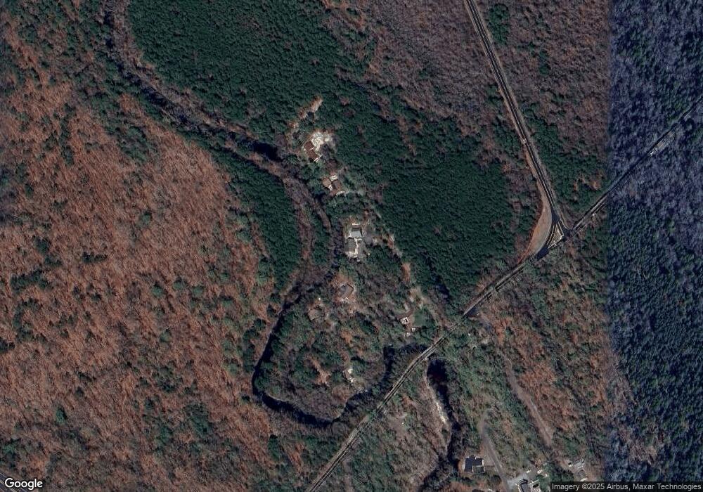
Map
Nearby Homes
- 7322 Black Horse Pike
- First 1st Ave
- 7390 Black Horse Pike
- 7411 Black Horse Pike
- 1 Belmont Ave
- 1930 Mccall Ave
- 2015 High Bank Rd
- 1516 Thirty Third St
- 7415 3rd Ave
- 7417 3rd Ave
- 1601 Mccall Ave
- 0 0 Strand Ave
- 0 Black Horse Pike Unit 587423
- 0 St Petersburg Ave Unit NJAC2011842
- 0 St Petersburg Ave Unit NJAC2011840
- 0 Railroad Blvd
- 1368 Sitka Ave
- 1362 Annapolis Ave
- 7571 Strand Ave
- 6917 Market St
- 7011 Bridge Rd
- 2063 Iron Forge Rd
- 7013 Bridge Rd
- 114 Weymouth Rd
- 2061 Iron Forge Rd
- 2062 Iron Forge Rd
- 2060 Iron Forge Rd
- 2058 Iron Forge Rd
- 2083 Gale Ave
- 2056 Iron Forge Rd
- 7017 Bridge Rd
- 2061 Gale Ave
- 2055 Gale Ave
- 2032 Weymouth Rd
- 2058 Gale Ave
- 6956 Theresa St
- 2043 Gale Ave
- 2024 Weymouth Rd
- 2039 Gale Ave
- 2035 Gale Ave