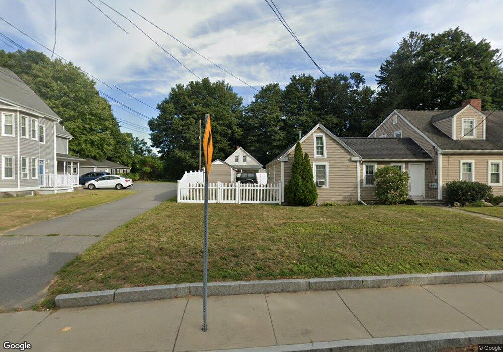
700R Somerset Ave Taunton, MA 02780
Estimated Value: $321,000 - $438,000
2
Beds
1
Bath
741
Sq Ft
$499/Sq Ft
Est. Value
About This Home
This home is located at 700R Somerset Ave, Taunton, MA 02780 and is currently estimated at $369,517, approximately $498 per square foot. 700R Somerset Ave is a home located in Bristol County with nearby schools including Mulcahey Elementary School, Taunton High School, and Joseph H. Martin.
Ownership History
Date
Name
Owned For
Owner Type
Purchase Details
Closed on
May 7, 1993
Sold by
State St B&T Co
Bought by
Cabral Joseph and Cabral Camila
Current Estimated Value
Purchase Details
Closed on
Jan 28, 1988
Sold by
Sherman Arnold
Bought by
Fernandes Arthur T
Home Financials for this Owner
Home Financials are based on the most recent Mortgage that was taken out on this home.
Original Mortgage
$104,400
Interest Rate
10.65%
Mortgage Type
Purchase Money Mortgage
Create a Home Valuation Report for This Property
The Home Valuation Report is an in-depth analysis detailing your home's value as well as a comparison with similar homes in the area
Home Values in the Area
Average Home Value in this Area
Purchase History
| Date | Buyer | Sale Price | Title Company |
|---|---|---|---|
| Cabral Joseph | $26,500 | -- | |
| Fernandes Arthur T | $116,000 | -- |
Source: Public Records
Mortgage History
| Date | Status | Borrower | Loan Amount |
|---|---|---|---|
| Previous Owner | Fernandes Arthur T | $104,400 |
Source: Public Records
Tax History Compared to Growth
Tax History
| Year | Tax Paid | Tax Assessment Tax Assessment Total Assessment is a certain percentage of the fair market value that is determined by local assessors to be the total taxable value of land and additions on the property. | Land | Improvement |
|---|---|---|---|---|
| 2025 | $2,993 | $273,600 | $71,900 | $201,700 |
| 2024 | $2,697 | $241,000 | $71,900 | $169,100 |
| 2023 | $2,639 | $219,000 | $71,900 | $147,100 |
| 2022 | $2,520 | $191,200 | $59,900 | $131,300 |
| 2021 | $2,415 | $170,100 | $54,500 | $115,600 |
| 2020 | $2,309 | $155,400 | $54,500 | $100,900 |
| 2019 | $2,200 | $139,600 | $54,500 | $85,100 |
| 2018 | $2,040 | $133,200 | $53,400 | $79,800 |
| 2017 | $1,986 | $126,400 | $57,700 | $68,700 |
| 2016 | $1,888 | $120,400 | $53,700 | $66,700 |
| 2015 | $1,911 | $127,300 | $56,300 | $71,000 |
| 2014 | $1,880 | $128,700 | $58,200 | $70,500 |
Source: Public Records
Map
Nearby Homes
- 4 A Lawton St Unit A
- 450 Somerset Ave Unit 2-7
- 450 Somerset Ave Unit 6-6
- 6 Southeast St
- 195 Pratt St Unit A
- 125 Highland St Unit 103
- 24 1st St
- 56 Silver St
- 322 Dighton Ave
- 4 Parkin Ct
- 8 Herbert St
- 41 Hart Ave
- 154 Appaloosa Way
- 72 Barnum St
- 132 Winthrop St
- 16 Clinton St
- 170 Highland St Unit 320
- 278 Cohannet St
- 98 Winthrop St
- 1 Fayal Ave
- 700 Somerset Ave
- 692 Somerset Ave
- 710 Somerset Ave
- 690 Somerset Ave
- 703 Somerset Ave
- 722 Somerset Ave
- 10A Clay St Unit RIGHT
- 10B Clay St Unit LEFT
- 10B Clay St Unit LEFT SIDE
- 10A Clay St Unit Right Side
- 10B Clay St
- 10A Clay St
- 683 Somerset Ave
- 693 Somerset Ave
- 10 Clay St Unit B
- 10 Clay St Unit A
- 7 7th St
- 677 Somerset Ave
- 678 Somerset Ave
- 713 Somerset Ave