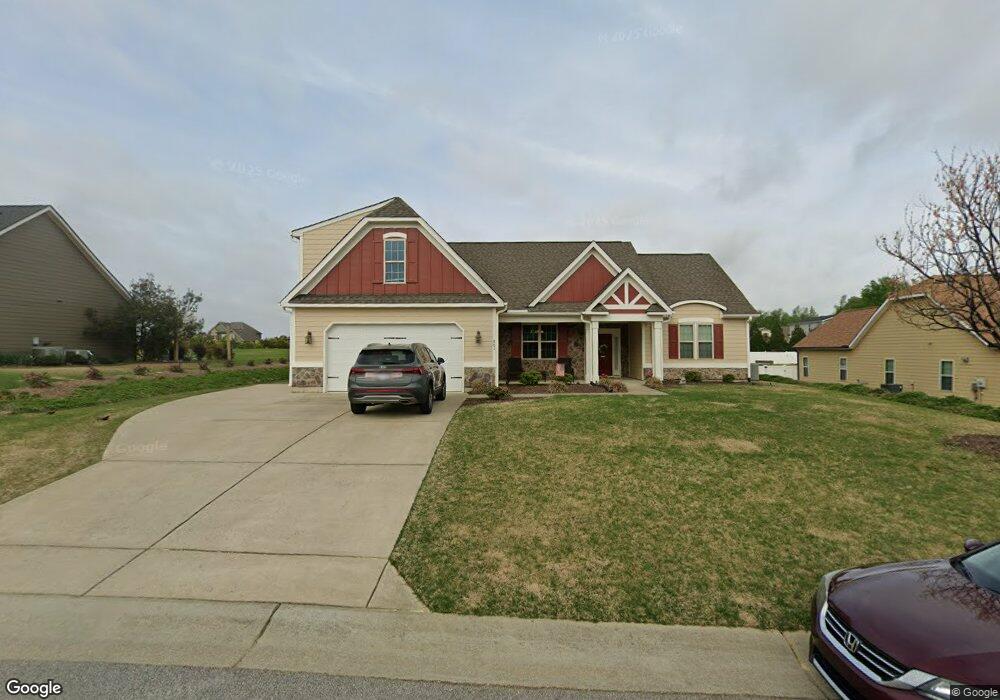
701 Adams Point Dr Garner, NC 27529
Estimated Value: $451,588 - $510,000
3
Beds
3
Baths
2,514
Sq Ft
$193/Sq Ft
Est. Value
About This Home
This home is located at 701 Adams Point Dr, Garner, NC 27529 and is currently estimated at $484,147, approximately $192 per square foot. 701 Adams Point Dr is a home located in Johnston County with nearby schools including West View Elementary School, Cleveland Middle School, and West Johnston High School.
Ownership History
Date
Name
Owned For
Owner Type
Purchase Details
Closed on
Sep 14, 2012
Sold by
Carroll Construction Homes Inc
Bought by
Peters Paul J and Peters Candace H
Current Estimated Value
Home Financials for this Owner
Home Financials are based on the most recent Mortgage that was taken out on this home.
Original Mortgage
$242,651
Outstanding Balance
$168,773
Interest Rate
3.68%
Mortgage Type
VA
Estimated Equity
$315,374
Create a Home Valuation Report for This Property
The Home Valuation Report is an in-depth analysis detailing your home's value as well as a comparison with similar homes in the area
Home Values in the Area
Average Home Value in this Area
Purchase History
| Date | Buyer | Sale Price | Title Company |
|---|---|---|---|
| Peters Paul J | $235,000 | None Available |
Source: Public Records
Mortgage History
| Date | Status | Borrower | Loan Amount |
|---|---|---|---|
| Open | Peters Paul J | $242,651 |
Source: Public Records
Tax History
| Year | Tax Paid | Tax Assessment Tax Assessment Total Assessment is a certain percentage of the fair market value that is determined by local assessors to be the total taxable value of land and additions on the property. | Land | Improvement |
|---|---|---|---|---|
| 2025 | $2,916 | $459,170 | $70,000 | $389,170 |
| 2024 | $2,359 | $291,250 | $50,000 | $241,250 |
| 2023 | $2,279 | $291,250 | $50,000 | $241,250 |
| 2022 | $2,438 | $291,250 | $50,000 | $241,250 |
| 2021 | $2,438 | $291,250 | $50,000 | $241,250 |
| 2020 | $2,470 | $291,250 | $50,000 | $241,250 |
| 2019 | $2,474 | $291,250 | $50,000 | $241,250 |
| 2018 | $2,265 | $260,280 | $44,000 | $216,280 |
| 2017 | $2,270 | $260,280 | $44,000 | $216,280 |
| 2016 | $2,292 | $260,280 | $44,000 | $216,280 |
| 2015 | $2,219 | $260,280 | $44,000 | $216,280 |
| 2014 | $2,219 | $260,280 | $44,000 | $216,280 |
Source: Public Records
Map
Nearby Homes
- 236 Fieldtrial Cir
- 403 Airedale Trail
- 356 Fieldtrial Cir
- 72 Meadowmist Dr
- 58 Trailblazer Ln
- 648 Fieldtrial Cir
- 866 Black Angus Dr
- 181 Fawn Hill Ct
- 232 Fawn Hill Ct
- 113 Hogan Dr
- 242 Thornwhistle Place
- 94 Shady Creek Trail
- 562 Pierce Rd
- 36 Norman Ct
- 421 Danielle Dr
- 111 Artic Cir
- 131 Artic Cir
- Lot 2a S Shiloh Rd
- 908 Olive Dr
- 3694 S Shiloh Rd
- 723 Adams Point Dr Unit Sierr
- 723 Adams Point Dr
- 681 Adams Point Dr Unit JADE2
- 42 Pappy Ln
- 20 Pappy Ln Unit Belle
- 737 Adams Point Dr
- 56 Pappy Ln
- 702 Adams Point Dr
- 702 Adams Point Dr Unit CARLO
- 724 Adams Point Dr
- 682 Adams Point Dr
- 641 Adams Point Dr
- 61 Airedale Trail Unit Carol
- 753 Adams Point Dr Unit Carlo
- 753 Adams Point Dr
- 72 Pappy Ln
- 243 Sporting Club Dr
- 17 Pappy Ln
- 646 Adams Point Dr
- 39 Pappy Ln
Your Personal Tour Guide
Ask me questions while you tour the home.