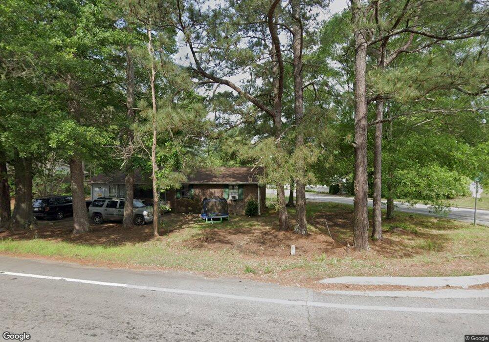
701 Burns Rd Carrollton, GA 30117
Estimated Value: $200,000 - $228,000
3
Beds
1
Bath
1,100
Sq Ft
$192/Sq Ft
Est. Value
About This Home
This home is located at 701 Burns Rd, Carrollton, GA 30117 and is currently estimated at $210,833, approximately $191 per square foot. 701 Burns Rd is a home located in Carroll County with nearby schools including Carrollton Elementary School, Carrollton Upper Elementary School, and Carrollton Middle School.
Ownership History
Date
Name
Owned For
Owner Type
Purchase Details
Closed on
Apr 4, 2007
Sold by
Johnson Ramona Teal
Bought by
Everett Mimi Lee
Current Estimated Value
Purchase Details
Closed on
Mar 7, 1995
Bought by
Blackwelder Troy
Purchase Details
Closed on
Jun 2, 1991
Bought by
Farmers Home Adminst
Purchase Details
Closed on
Feb 19, 1990
Bought by
Moody
Create a Home Valuation Report for This Property
The Home Valuation Report is an in-depth analysis detailing your home's value as well as a comparison with similar homes in the area
Home Values in the Area
Average Home Value in this Area
Purchase History
| Date | Buyer | Sale Price | Title Company |
|---|---|---|---|
| Everett Mimi Lee | -- | -- | |
| Blackwelder Troy | $43,000 | -- | |
| Farmers Home Adminst | -- | -- | |
| Moody | $44,000 | -- |
Source: Public Records
Tax History Compared to Growth
Tax History
| Year | Tax Paid | Tax Assessment Tax Assessment Total Assessment is a certain percentage of the fair market value that is determined by local assessors to be the total taxable value of land and additions on the property. | Land | Improvement |
|---|---|---|---|---|
| 2024 | $291 | $49,567 | $3,758 | $45,809 |
| 2023 | $275 | $45,475 | $3,758 | $41,717 |
| 2022 | $265 | $35,942 | $2,506 | $33,436 |
| 2021 | $241 | $30,630 | $1,856 | $28,774 |
| 2020 | $228 | $27,555 | $1,856 | $25,699 |
| 2019 | $751 | $25,469 | $1,856 | $23,613 |
| 2018 | $166 | $22,590 | $1,856 | $20,734 |
| 2017 | $168 | $22,590 | $1,856 | $20,734 |
| 2016 | $169 | $22,590 | $1,856 | $20,734 |
| 2015 | $155 | $19,558 | $4,896 | $14,662 |
| 2014 | $132 | $17,516 | $4,896 | $12,620 |
Source: Public Records
Map
Nearby Homes
- 0 Burns Rd Unit LOT 2 10571612
- 0 Burns Rd Unit LOT 3 10571635
- 0 Burns Rd Unit LOT 1 10571595
- 0 Burns Rd Unit 148013
- 0 Carroll Cir Unit LOTS 4-8 10571562
- 403 Burns Rd
- 150 Cedar Park Way
- 204 Burns Rd
- 8 Horsley Mill Rd
- 0 Carroll Cir- Lots 4-8 Unit 148012
- 9 Horsley Mill Rd
- 208 Lane Dr
- 208 Lane Dr Unit LOT 62
- 3 Burns Rd
- 2 Burns Rd
- 114 Bennett Cir
- 119 Oxford Square
- 114 Green Point Way
- Plan 2121 at Canterbury Villas
- Plan 2307 at Canterbury Villas
- 1209 Cedar St
- 703 Burns Rd
- 1201 Cedar St
- 0 Burns Rd Unit 10571595
- 0 Burns Rd Unit 10271547
- 0 Burns Rd Unit 10187196
- 0 Burns Rd Unit 9043550
- 0 Burns Rd Unit 8504870
- 0 Burns Rd Unit 8875311
- 0 Burns Rd Unit 7144240
- 0 Burns Rd Unit 8119390
- 0 Burns Rd Unit 8216951
- 0 Burns Rd Unit 8640372
- 0 Burns Rd Unit 8681029
- 1125 Cedar St
- 1170 Cedar St
- 1170 Cedar St Unit 7
- 1170 Cedar St Unit 4
- 1170 Cedar St Unit 9
- 1170 Cedar St Unit 120