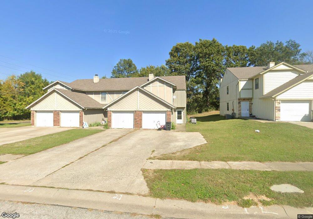
701 Cedar Dr Unit 2 Warrensburg, MO 64093
Estimated Value: $118,756 - $251,000
Studio
--
Bath
1,278
Sq Ft
$129/Sq Ft
Est. Value
About This Home
This home is located at 701 Cedar Dr Unit 2, Warrensburg, MO 64093 and is currently estimated at $165,439, approximately $129 per square foot. 701 Cedar Dr Unit 2 is a home located in Johnson County with nearby schools including Maple Grove Elementary School, Martin Warren Elementary School, and Warrensburg Middle School.
Ownership History
Date
Name
Owned For
Owner Type
Purchase Details
Closed on
Nov 14, 2023
Sold by
Craigmile Cade James and Craigmile Staci Michelle
Bought by
Michael And Janet Wiggins Trust and Wiggins
Current Estimated Value
Purchase Details
Closed on
Jun 5, 2009
Sold by
Hudson Drew and Hudson Lisa K
Bought by
Wiggins Staci M
Home Financials for this Owner
Home Financials are based on the most recent Mortgage that was taken out on this home.
Original Mortgage
$29,500
Interest Rate
4.72%
Mortgage Type
Purchase Money Mortgage
Create a Home Valuation Report for This Property
The Home Valuation Report is an in-depth analysis detailing your home's value as well as a comparison with similar homes in the area
Home Values in the Area
Average Home Value in this Area
Purchase History
| Date | Buyer | Sale Price | Title Company |
|---|---|---|---|
| Michael And Janet Wiggins Trust | -- | None Listed On Document | |
| Wiggins Staci M | -- | -- |
Source: Public Records
Mortgage History
| Date | Status | Borrower | Loan Amount |
|---|---|---|---|
| Previous Owner | Wiggins Staci M | $29,500 |
Source: Public Records
Tax History
| Year | Tax Paid | Tax Assessment Tax Assessment Total Assessment is a certain percentage of the fair market value that is determined by local assessors to be the total taxable value of land and additions on the property. | Land | Improvement |
|---|---|---|---|---|
| 2025 | $875 | $11,667 | $0 | $0 |
| 2024 | $875 | $10,784 | $0 | $0 |
| 2023 | $824 | $10,784 | $0 | $0 |
| 2022 | $796 | $10,377 | $0 | $0 |
| 2021 | $793 | $10,377 | $0 | $0 |
| 2020 | $771 | $9,971 | $0 | $0 |
| 2019 | $770 | $9,971 | $0 | $0 |
| 2017 | $768 | $9,971 | $0 | $0 |
| 2016 | $708 | $9,971 | $0 | $0 |
| 2015 | $727 | $9,971 | $0 | $0 |
| 2014 | -- | $9,971 | $0 | $0 |
Source: Public Records
Map
Nearby Homes
- 1106 S Mitchell St
- 1006 Deer Run
- 991 S Mitchell St
- 505 Mallory Ct
- 503 Larkin Ct
- 509 Quail Trail
- 502 Mallory Ct
- 503 Quail Trail
- 428 Swallow N A
- 317 E Hale Lake Rd
- 1011 Eli Ln
- 1103 N Eli Ln
- 7 SE 125 Rd
- 700 E Clark St
- 103 Grant Dr
- 417 Jackson St
- 708 Tyler Ave
- 903 E Clark St
- 711 Shamrock Ln
- 136 Missouri 13
- 701 Cedar Dr Unit a
- 701 Cedar Dr Unit D
- 701 Cedar Dr Unit 4
- 701 Cedar Dr Unit 3
- 701 Cedar Dr Unit 1
- 701 Cedar Dr Unit C
- 703 Cedar Dr
- 703 Cedar Dr Unit 3
- 703 Cedar Dr Unit 2
- 703 Cedar Dr Unit 1
- 703 Cedar Dr Unit 4
- 703 Cedar Dr Unit A
- 703 Cedar Dr
- 701 Cedar #B Dr
- 701 Cedar #D Dr
- 1001 S Mitchell St
- 700 Cedar Dr
- 700 Cedar Dr Unit D
- 700 Cedar Dr Unit C
- 700 Cedar Dr Unit B
Your Personal Tour Guide
Ask me questions while you tour the home.