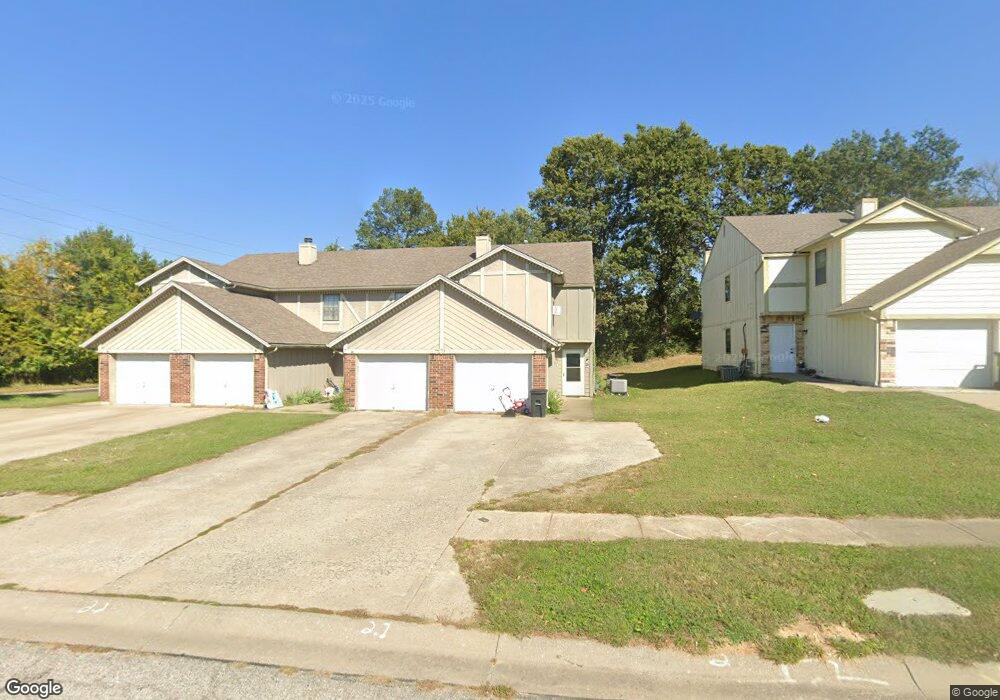
701 Cedar Dr Unit 3 Warrensburg, MO 64093
Estimated Value: $120,593 - $148,000
Studio
--
Bath
1,278
Sq Ft
$105/Sq Ft
Est. Value
About This Home
This home is located at 701 Cedar Dr Unit 3, Warrensburg, MO 64093 and is currently estimated at $133,898, approximately $104 per square foot. 701 Cedar Dr Unit 3 is a home located in Johnson County with nearby schools including Maple Grove Elementary School, Martin Warren Elementary School, and Warrensburg Middle School.
Ownership History
Date
Name
Owned For
Owner Type
Purchase Details
Closed on
Aug 11, 2022
Sold by
Ehrsam Rodger D and Ehrsam Chad R
Bought by
Aslam Tracy
Current Estimated Value
Purchase Details
Closed on
Sep 22, 2021
Sold by
Howard Jeffrey J
Bought by
Leavy Ezra Taylor
Home Financials for this Owner
Home Financials are based on the most recent Mortgage that was taken out on this home.
Original Mortgage
$90,883
Interest Rate
2.8%
Mortgage Type
New Conventional
Purchase Details
Closed on
Mar 12, 2010
Sold by
Rhoads Robert P and Rhoads Brandi L
Bought by
Howard Jeffrey J
Home Financials for this Owner
Home Financials are based on the most recent Mortgage that was taken out on this home.
Original Mortgage
$83,460
Interest Rate
4.93%
Mortgage Type
FHA
Create a Home Valuation Report for This Property
The Home Valuation Report is an in-depth analysis detailing your home's value as well as a comparison with similar homes in the area
Home Values in the Area
Average Home Value in this Area
Purchase History
| Date | Buyer | Sale Price | Title Company |
|---|---|---|---|
| Aslam Tracy | -- | -- | |
| Leavy Ezra Taylor | -- | Western Missouri Title | |
| Howard Jeffrey J | -- | Western Missouri Title Co |
Source: Public Records
Mortgage History
| Date | Status | Borrower | Loan Amount |
|---|---|---|---|
| Previous Owner | Leavy Ezra Taylor | $90,883 | |
| Previous Owner | Howard Jeffrey J | $83,460 |
Source: Public Records
Tax History
| Year | Tax Paid | Tax Assessment Tax Assessment Total Assessment is a certain percentage of the fair market value that is determined by local assessors to be the total taxable value of land and additions on the property. | Land | Improvement |
|---|---|---|---|---|
| 2025 | $875 | $11,667 | $0 | $0 |
| 2024 | $875 | $10,784 | $0 | $0 |
| 2023 | $824 | $10,784 | $0 | $0 |
| 2022 | $796 | $10,377 | $0 | $0 |
| 2021 | $793 | $10,377 | $0 | $0 |
| 2020 | $771 | $9,971 | $0 | $0 |
| 2019 | $770 | $9,971 | $0 | $0 |
| 2017 | $768 | $9,971 | $0 | $0 |
| 2016 | $708 | $9,971 | $0 | $0 |
| 2015 | $727 | $9,971 | $0 | $0 |
| 2014 | -- | $9,971 | $0 | $0 |
Source: Public Records
Map
Nearby Homes
- 1106 S Mitchell St
- 991 S Mitchell St
- 503 Quail Trail
- 428 Swallow N A
- 530 Hamilton St
- 317 E Hale Lake Rd
- 1011 Eli Ln
- 1103 N Eli Ln
- 21 SE 130 Rd
- 700 E Clark St
- 311 Franklin Ave
- 903 E Clark St
- 136 Missouri 13
- 117 Meadow Ln
- 1008 Anderson St
- 611 S Maguire St
- 411 10th Street Terrace
- 612 Christopher St
- 912 Vest Dr
- 623 Christopher St
- 701 Cedar Dr Unit a
- 701 Cedar Dr Unit D
- 701 Cedar Dr Unit 4
- 701 Cedar Dr Unit 2
- 701 Cedar Dr Unit 1
- 701 Cedar Dr Unit C
- 703 Cedar Dr
- 703 Cedar Dr Unit 3
- 703 Cedar Dr Unit 2
- 703 Cedar Dr Unit 1
- 703 Cedar Dr Unit 4
- 703 Cedar Dr Unit A
- 703 Cedar Dr
- 701 Cedar #B Dr
- 701 Cedar #D Dr
- 1001 S Mitchell St
- 700 Cedar Dr
- 700 Cedar Dr Unit D
- 700 Cedar Dr Unit C
- 700 Cedar Dr Unit B
Your Personal Tour Guide
Ask me questions while you tour the home.