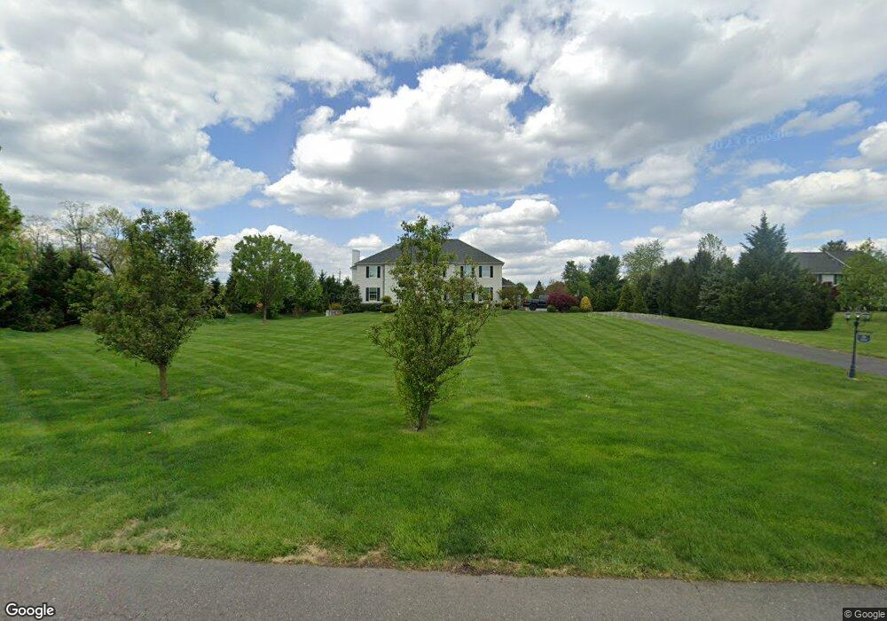
701 Cox Rd Moorestown, NJ 08057
Estimated Value: $1,215,066 - $1,431,000
--
Bed
--
Bath
4,319
Sq Ft
$298/Sq Ft
Est. Value
About This Home
This home is located at 701 Cox Rd, Moorestown, NJ 08057 and is currently estimated at $1,289,022, approximately $298 per square foot. 701 Cox Rd is a home located in Burlington County with nearby schools including South Valley Elementary School, Moorestown Upper Elementary School, and William Allen Middle School.
Ownership History
Date
Name
Owned For
Owner Type
Purchase Details
Closed on
Sep 17, 2010
Sold by
Johnson Rollin
Bought by
Kodish Eric H and Kodish Amber T
Current Estimated Value
Create a Home Valuation Report for This Property
The Home Valuation Report is an in-depth analysis detailing your home's value as well as a comparison with similar homes in the area
Home Values in the Area
Average Home Value in this Area
Purchase History
| Date | Buyer | Sale Price | Title Company |
|---|---|---|---|
| Kodish Eric H | $159,000 | Surety Title Corp |
Source: Public Records
Tax History Compared to Growth
Tax History
| Year | Tax Paid | Tax Assessment Tax Assessment Total Assessment is a certain percentage of the fair market value that is determined by local assessors to be the total taxable value of land and additions on the property. | Land | Improvement |
|---|---|---|---|---|
| 2025 | $21,051 | $742,000 | $107,900 | $634,100 |
| 2024 | $20,412 | $742,000 | $107,900 | $634,100 |
| 2023 | $20,412 | $742,000 | $107,900 | $634,100 |
| 2022 | $20,205 | $742,000 | $107,900 | $634,100 |
| 2021 | $19,938 | $742,000 | $107,900 | $634,100 |
| 2020 | $19,811 | $742,000 | $107,900 | $634,100 |
| 2019 | $19,463 | $742,000 | $107,900 | $634,100 |
| 2018 | $18,936 | $742,000 | $107,900 | $634,100 |
| 2017 | $19,099 | $742,000 | $107,900 | $634,100 |
| 2016 | $19,032 | $742,000 | $107,900 | $634,100 |
| 2015 | $18,802 | $742,000 | $107,900 | $634,100 |
| 2014 | $17,853 | $742,000 | $107,900 | $634,100 |
Source: Public Records
Map
Nearby Homes
- 712 Kimberly Dr
- 801 Cox Rd
- 700 Bentley Ct
- 740 Garwood Rd
- 901 Mcelwee Rd
- 751 Garwood Rd
- 5 Murray Rd
- 22 Sun Haven Place
- 97 Brooks Rd
- 27 Firethorn Ln
- 103 Congressional Ct
- 265 Rosebay Ct Unit 265
- 3 Firethorn Ln
- 1 Weatherly Rd
- 142 Rosebay Ct Unit 142
- 39 Bramley Rd
- 57 Brooks Rd
- 85 Foxglove Dr Unit 85
- 693 Garwood Rd
- 34 Foxglove Dr Unit 34