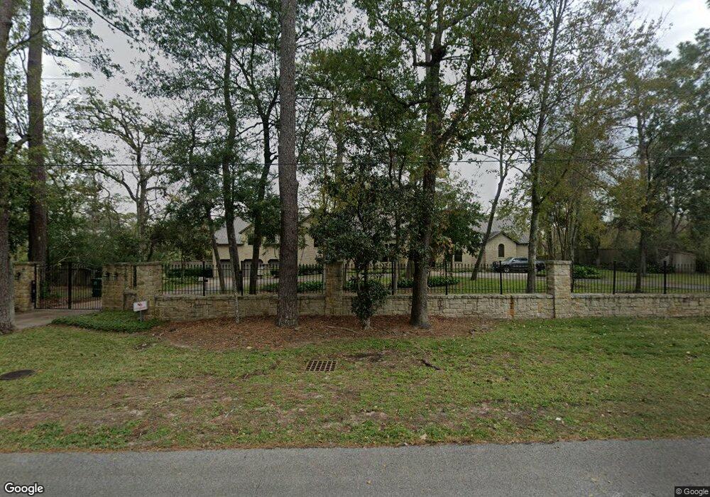
701 Crestbend Dr Houston, TX 77042
Briar Forest NeighborhoodEstimated Value: $3,687,639 - $4,304,000
4
Beds
5
Baths
7,826
Sq Ft
$501/Sq Ft
Est. Value
About This Home
This home is located at 701 Crestbend Dr, Houston, TX 77042 and is currently estimated at $3,923,213, approximately $501 per square foot. 701 Crestbend Dr is a home located in Harris County with nearby schools including Walnut Bend Elementary School, Paul Revere Middle School, and Westside High School.
Ownership History
Date
Name
Owned For
Owner Type
Purchase Details
Closed on
Oct 12, 1999
Sold by
Ory Steven J
Bought by
Greene Richard and Greene Monica
Current Estimated Value
Purchase Details
Closed on
Dec 1, 1998
Sold by
Ory Edwin M
Bought by
Ory Edwin M and The Norma R Ory Family Trust
Create a Home Valuation Report for This Property
The Home Valuation Report is an in-depth analysis detailing your home's value as well as a comparison with similar homes in the area
Home Values in the Area
Average Home Value in this Area
Purchase History
| Date | Buyer | Sale Price | Title Company |
|---|---|---|---|
| Greene Richard | -- | Stewart Title Company | |
| Ory Edwin M | -- | -- |
Source: Public Records
Tax History
| Year | Tax Paid | Tax Assessment Tax Assessment Total Assessment is a certain percentage of the fair market value that is determined by local assessors to be the total taxable value of land and additions on the property. | Land | Improvement |
|---|---|---|---|---|
| 2025 | $40,106 | $3,407,390 | $1,500,678 | $1,906,712 |
| 2024 | $40,106 | $2,974,499 | $1,286,295 | $1,688,204 |
| 2023 | $53,634 | $2,996,934 | $1,286,295 | $1,710,639 |
| 2022 | $53,286 | $2,813,400 | $1,149,774 | $1,663,626 |
| 2021 | $51,275 | $2,497,000 | $1,289,166 | $1,207,834 |
| 2020 | $48,432 | $2,000,000 | $1,289,166 | $710,834 |
| 2019 | $58,200 | $2,300,000 | $1,289,166 | $1,010,834 |
| 2018 | $46,489 | $2,300,000 | $1,289,166 | $1,010,834 |
| 2017 | $58,157 | $2,300,000 | $1,289,166 | $1,010,834 |
| 2016 | $58,157 | $2,300,000 | $1,289,166 | $1,010,834 |
| 2015 | $44,697 | $2,988,568 | $1,047,447 | $1,941,121 |
| 2014 | $44,697 | $2,170,879 | $946,731 | $1,224,148 |
Source: Public Records
Map
Nearby Homes
- 10 Warrenton Dr
- 10103 Pine Forest Rd
- 150 Gessner Rd Unit 4A
- 10043 Longmont Dr
- 10002 Cedar Creek Dr
- 6 Gessner Rd
- 10121 Valley Forge Dr
- 242 Vanderpool Ln
- 1135 Bayou Island Dr
- 810 Remington Glade Dr
- 230 Gessner Rd
- 201 Vanderpool Ln Unit 103
- 201 Vanderpool Ln Unit 65
- 201 Vanderpool Ln Unit 122
- 10106 Cedar Creek Dr
- 44 Bayou Pointe Dr
- 45 Bayou Pointe Dr
- 241 Litchfield Ln
- 10323 Pine Forest Rd
- 10252 Longmont Dr Unit 45/4
- 711 Crestbend Dr
- 728 Crestbend Dr
- 702 Crestbend Dr
- 611 Crestbend Dr
- 601 Crestbend Dr
- 600 Crestbend Dr
- 703 Briarpark Dr
- 615 Briarpark Dr
- 707 Briarpark Dr
- 611 Briarpark Dr
- 801 Crestbend Dr
- 711 Briarpark Dr
- 715 Briarpark Dr
- 603 Briarpark Dr
- 4 Woodstone St
- 803 Briarpark Dr
- 521 Crestbend Dr
- 5 Woodstone St
- 515 Briarpark Dr
- 3 Woodstone St
Your Personal Tour Guide
Ask me questions while you tour the home.