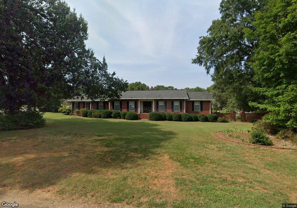
701 E Mauldin St Anderson, SC 29621
Estimated Value: $341,372 - $430,000
3
Beds
--
Bath
2,886
Sq Ft
$131/Sq Ft
Est. Value
About This Home
This home is located at 701 E Mauldin St, Anderson, SC 29621 and is currently estimated at $378,593, approximately $131 per square foot. 701 E Mauldin St is a home located in Anderson County with nearby schools including Concord Elementary School, McCants Middle School, and T.L. Hanna High School.
Ownership History
Date
Name
Owned For
Owner Type
Purchase Details
Closed on
Apr 29, 2013
Sold by
Deal Thomas Scott and Dean Mary Jean Settle
Bought by
Deal Thomas Scott and Deal Mary Jean Settle
Current Estimated Value
Home Financials for this Owner
Home Financials are based on the most recent Mortgage that was taken out on this home.
Original Mortgage
$90,000
Interest Rate
3.59%
Mortgage Type
Credit Line Revolving
Create a Home Valuation Report for This Property
The Home Valuation Report is an in-depth analysis detailing your home's value as well as a comparison with similar homes in the area
Home Values in the Area
Average Home Value in this Area
Purchase History
| Date | Buyer | Sale Price | Title Company |
|---|---|---|---|
| Deal Thomas Scott | -- | -- |
Source: Public Records
Mortgage History
| Date | Status | Borrower | Loan Amount |
|---|---|---|---|
| Closed | Deal Thomas Scott | $90,000 |
Source: Public Records
Tax History
| Year | Tax Paid | Tax Assessment Tax Assessment Total Assessment is a certain percentage of the fair market value that is determined by local assessors to be the total taxable value of land and additions on the property. | Land | Improvement |
|---|---|---|---|---|
| 2025 | $2,204 | $12,370 | $1,080 | $11,290 |
| 2024 | $2,204 | $12,370 | $1,080 | $11,290 |
| 2023 | $2,216 | $12,370 | $1,080 | $11,290 |
| 2022 | $2,196 | $12,370 | $1,080 | $11,290 |
| 2021 | $2,003 | $10,180 | $800 | $9,380 |
| 2020 | $1,999 | $10,180 | $800 | $9,380 |
| 2019 | $1,999 | $10,180 | $800 | $9,380 |
| 2018 | $2,018 | $10,180 | $800 | $9,380 |
| 2017 | -- | $10,180 | $800 | $9,380 |
| 2016 | $1,804 | $9,380 | $800 | $8,580 |
| 2015 | $1,826 | $9,380 | $800 | $8,580 |
| 2014 | $1,821 | $9,380 | $800 | $8,580 |
Source: Public Records
Map
Nearby Homes
- Cann Rd
- LOt 6 College Ave
- 401 Berkshire Hill
- 1805 Lindale Rd
- 128 Mid Town Square
- 120 Midtown Square
- 907 E Greenville St
- 905 E Greenville St
- 305 E Broad St
- 2010 Boulevard Heights
- 310 Moultrie Square
- 504 Tilman Ct
- 2506 Poplar Ln
- 2301 Bellview Rd
- 1211 Melbourne Dr
- Lot 1-B E Greenville St
- 208 Glenwood Ave
- 167 Laurel Oak Dr
- 136 Laurel Oak Dr
- 2305 Millgate Rd
- 703 E Mauldin St
- 400 Berkshire Hill
- 1612 College Ave
- 402 Berkshire Hill
- 0 High Shoals Rd
- 1701 College Ave
- 1611 College Ave
- 1703 College Ave
- 1610 College Ave
- 404 Berkshire Hill
- 1609 College Ave
- 1705 College Ave
- 706 E Mauldin St
- 603 E Mauldin St
- 403 Berkshire Hill
- 406 Berkshire Hill
- 1604 N Boulevard
- 1608 College Ave
- 1605 College Ave
- 1801 College Ave
Your Personal Tour Guide
Ask me questions while you tour the home.