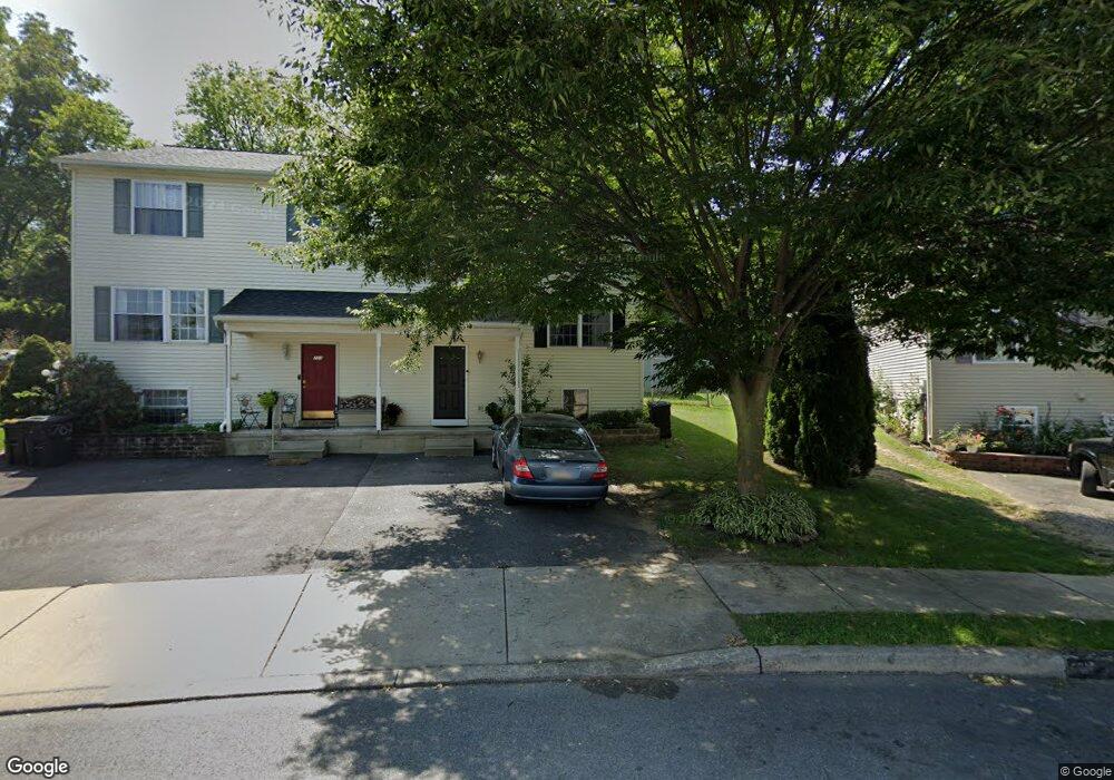
701 Euclid Ave Lancaster, PA 17603
Prospect Heights NeighborhoodEstimated Value: $239,000 - $325,251
3
Beds
2
Baths
1,344
Sq Ft
$207/Sq Ft
Est. Value
About This Home
This home is located at 701 Euclid Ave, Lancaster, PA 17603 and is currently estimated at $277,563, approximately $206 per square foot. 701 Euclid Ave is a home located in Lancaster County with nearby schools including Hamilton Elementary School, Wheatland Middle School, and McCaskey High School.
Ownership History
Date
Name
Owned For
Owner Type
Purchase Details
Closed on
Dec 6, 2002
Sold by
Lancaster Area Habitat For Humanity Inc
Bought by
Jeto Abraham D and Amante Hirut E
Current Estimated Value
Home Financials for this Owner
Home Financials are based on the most recent Mortgage that was taken out on this home.
Original Mortgage
$56,842
Interest Rate
6.02%
Mortgage Type
Seller Take Back
Create a Home Valuation Report for This Property
The Home Valuation Report is an in-depth analysis detailing your home's value as well as a comparison with similar homes in the area
Home Values in the Area
Average Home Value in this Area
Purchase History
| Date | Buyer | Sale Price | Title Company |
|---|---|---|---|
| Jeto Abraham D | $56,300 | -- |
Source: Public Records
Mortgage History
| Date | Status | Borrower | Loan Amount |
|---|---|---|---|
| Closed | Jeto Abraham D | $56,842 | |
| Closed | Jeto Abraham D | $5,000 |
Source: Public Records
Tax History Compared to Growth
Tax History
| Year | Tax Paid | Tax Assessment Tax Assessment Total Assessment is a certain percentage of the fair market value that is determined by local assessors to be the total taxable value of land and additions on the property. | Land | Improvement |
|---|---|---|---|---|
| 2025 | $5,567 | $140,700 | $29,700 | $111,000 |
| 2024 | $5,567 | $140,700 | $29,700 | $111,000 |
| 2023 | $5,474 | $140,700 | $29,700 | $111,000 |
| 2022 | $5,246 | $140,700 | $29,700 | $111,000 |
| 2021 | $5,133 | $140,700 | $29,700 | $111,000 |
| 2020 | $5,133 | $140,700 | $29,700 | $111,000 |
| 2019 | $5,057 | $140,700 | $29,700 | $111,000 |
| 2018 | $2,564 | $140,700 | $29,700 | $111,000 |
| 2017 | $3,808 | $82,900 | $21,200 | $61,700 |
| 2016 | $3,773 | $82,900 | $21,200 | $61,700 |
| 2015 | $1,472 | $82,900 | $21,200 | $61,700 |
| 2014 | $2,865 | $82,900 | $21,200 | $61,700 |
Source: Public Records
Map
Nearby Homes
- 716 Euclid Ave
- 825 S Pearl St
- 202 Pennshire Dr
- 204 Pennshire Dr
- 884 Sterling Place
- 833 Marjory Terrace
- 843 Lucilla Ct
- 303 Pennshire Dr
- 848 Garnet Ave
- 1233 Fremont St
- 683 Fairview Ave
- 1635 Wabank Rd
- 816 Wabank St
- 1014 Willow Street Pike Unit 8
- 1132 Willow Street Pike
- 709 S Prince St
- 56 Greenwood Ave
- 645 S Prince St
- 234 Fairview Ave
- 758 Fremont St