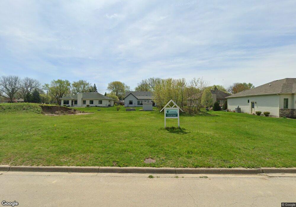
701 Friar Dr Aurora, IL 60505
Indian Creek NeighborhoodEstimated Value: $47,000 - $494,000
2
Beds
3
Baths
2,620
Sq Ft
$102/Sq Ft
Est. Value
About This Home
This home is located at 701 Friar Dr, Aurora, IL 60505 and is currently estimated at $266,333, approximately $101 per square foot. 701 Friar Dr is a home located in Kane County with nearby schools including Nicholas A Hermes Elementary School, Simmons Middle School, and East Aurora High School.
Ownership History
Date
Name
Owned For
Owner Type
Purchase Details
Closed on
May 5, 2024
Sold by
La Loma Properties Llc
Bought by
R & J Builders Llc
Current Estimated Value
Purchase Details
Closed on
Dec 14, 2020
Sold by
Linden Grove Investment Llc
Bought by
La Loma Properties Llc
Purchase Details
Closed on
Aug 5, 2013
Sold by
Melrose Holdings 12 Llc
Bought by
Linden Grove Investment Llc
Purchase Details
Closed on
Mar 15, 2013
Sold by
West Suburban Bank
Bought by
Melrose Holdings 12 Llc
Purchase Details
Closed on
Jun 19, 2012
Sold by
Twin Builders Inc
Bought by
Melrose Holdings 12 Llc
Create a Home Valuation Report for This Property
The Home Valuation Report is an in-depth analysis detailing your home's value as well as a comparison with similar homes in the area
Home Values in the Area
Average Home Value in this Area
Purchase History
| Date | Buyer | Sale Price | Title Company |
|---|---|---|---|
| R & J Builders Llc | -- | None Listed On Document | |
| R & J Builders Llc | -- | None Listed On Document | |
| La Loma Properties Llc | $50,000 | Chicago Title | |
| Linden Grove Investment Llc | $162,500 | Chicago Title Insurance Comp | |
| Melrose Holdings 12 Llc | -- | None Available | |
| Melrose Holdings 12 Llc | -- | None Available |
Source: Public Records
Tax History Compared to Growth
Tax History
| Year | Tax Paid | Tax Assessment Tax Assessment Total Assessment is a certain percentage of the fair market value that is determined by local assessors to be the total taxable value of land and additions on the property. | Land | Improvement |
|---|---|---|---|---|
| 2024 | $1,352 | $19,718 | $19,718 | -- |
| 2023 | $1,317 | $17,618 | $17,618 | -- |
| 2022 | $1,221 | $16,075 | $16,075 | $0 |
| 2021 | $94 | $1,167 | $1,167 | $0 |
| 2020 | $90 | $1,084 | $1,084 | $0 |
| 2019 | $88 | $1,004 | $1,004 | $0 |
| 2018 | $85 | $929 | $929 | $0 |
| 2017 | $84 | $856 | $856 | $0 |
| 2016 | $77 | $734 | $734 | $0 |
| 2015 | -- | $631 | $631 | $0 |
| 2014 | -- | $580 | $580 | $0 |
| 2013 | -- | $554 | $554 | $0 |
Source: Public Records
Map
Nearby Homes
- 745 Donna Ave
- 1521 Saddle Ln
- 1750 N Marywood Ave Unit 603
- 1716 N Marywood Ave
- 451 Turner Rd
- 1826 N Farnsworth Ave
- 1215 Constellation Dr
- 1220 Comet Dr
- 1220 Mitchell Rd
- 1953 Charles Ln Unit 1953
- 1942 Tall Oaks Dr Unit 1A
- 3 Lovedale Ln
- 1419 Mcclure Rd Unit 1419
- 1855 Tall Oaks Dr Unit 3303
- 961 Trask St
- 122 E State St
- 0000 N Farnsworth Ave
- 24 S Grant St
- 331 Sussex Ln
- 202 Linn Ct Unit C