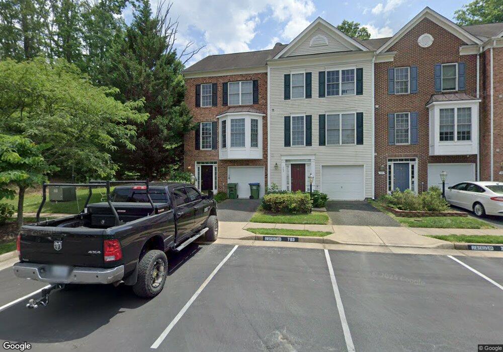
701 Galway Lane Gate S Stafford, VA 22554
Estimated Value: $393,000 - $460,000
3
Beds
4
Baths
1,670
Sq Ft
$256/Sq Ft
Est. Value
About This Home
This home is located at 701 Galway Lane Gate S, Stafford, VA 22554 and is currently estimated at $427,690, approximately $256 per square foot. 701 Galway Lane Gate S is a home located in Stafford County with nearby schools including Anthony Burns Elementary School, Stafford Middle School, and Brooke Point High School.
Ownership History
Date
Name
Owned For
Owner Type
Purchase Details
Closed on
Sep 19, 2018
Sold by
Jackson Arthur and Jackson Doris
Bought by
Jackson Michael A
Current Estimated Value
Home Financials for this Owner
Home Financials are based on the most recent Mortgage that was taken out on this home.
Original Mortgage
$291,127
Outstanding Balance
$253,357
Interest Rate
4.5%
Mortgage Type
VA
Estimated Equity
$174,333
Purchase Details
Closed on
Sep 21, 2004
Sold by
Beazer Homes Corp
Bought by
Jackson Arthur
Home Financials for this Owner
Home Financials are based on the most recent Mortgage that was taken out on this home.
Original Mortgage
$224,300
Interest Rate
6.02%
Mortgage Type
Construction
Create a Home Valuation Report for This Property
The Home Valuation Report is an in-depth analysis detailing your home's value as well as a comparison with similar homes in the area
Home Values in the Area
Average Home Value in this Area
Purchase History
| Date | Buyer | Sale Price | Title Company |
|---|---|---|---|
| Jackson Michael A | $285,000 | Guaranty Title Agency Inc | |
| Jackson Arthur | $280,464 | -- |
Source: Public Records
Mortgage History
| Date | Status | Borrower | Loan Amount |
|---|---|---|---|
| Open | Jackson Michael A | $291,127 | |
| Previous Owner | Jackson Arthur | $224,300 |
Source: Public Records
Tax History Compared to Growth
Tax History
| Year | Tax Paid | Tax Assessment Tax Assessment Total Assessment is a certain percentage of the fair market value that is determined by local assessors to be the total taxable value of land and additions on the property. | Land | Improvement |
|---|---|---|---|---|
| 2025 | $3,444 | $379,800 | $130,000 | $249,800 |
| 2024 | $3,444 | $379,800 | $130,000 | $249,800 |
| 2023 | $3,203 | $338,900 | $105,000 | $233,900 |
| 2022 | $2,881 | $338,900 | $105,000 | $233,900 |
| 2021 | $2,676 | $275,900 | $75,000 | $200,900 |
| 2020 | $2,676 | $275,900 | $75,000 | $200,900 |
| 2019 | $2,616 | $259,000 | $65,000 | $194,000 |
| 2018 | $2,564 | $259,000 | $65,000 | $194,000 |
| 2017 | $2,280 | $230,300 | $60,000 | $170,300 |
| 2016 | $2,280 | $230,300 | $60,000 | $170,300 |
| 2015 | -- | $215,800 | $60,000 | $155,800 |
| 2014 | -- | $215,800 | $60,000 | $155,800 |
Source: Public Records
Map
Nearby Homes
- 238 Bells Hill Rd
- 50 Doria Hill Dr
- 104 Rolling Hill Ct
- 133 Arla Ct
- 16 Wayside Ct
- 119 Arla Ct
- 2286 Richmond Hwy
- 16 Basket Ct
- 5 Basket Ct
- 200 Torbert Loop
- 3 Antietam Loop
- 14 Wallace Ln
- 610 Sedgwick Ct
- 110 Oak Dr
- 132 Oak Dr
- Unknown Unknown
- 10 Revere Ct
- 114 Brush Everard Ct
- 111 Douglas Dr
- 21 Kennesaw Dr