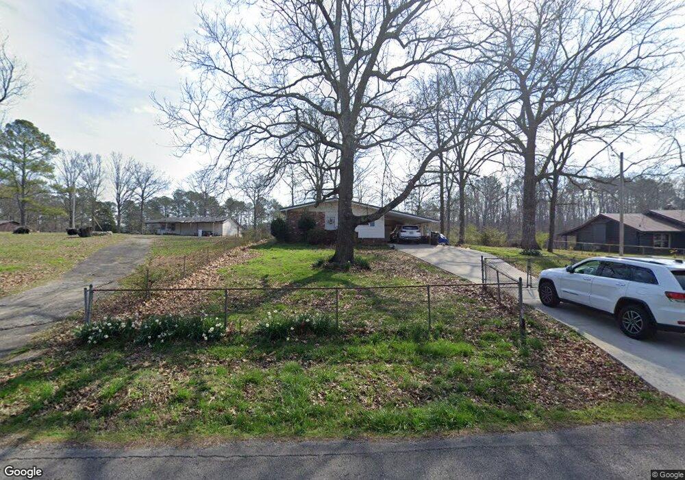
701 Goodson Cir Rock Spring, GA 30739
Rock Spring NeighborhoodEstimated Value: $197,000 - $275,000
3
Beds
1
Bath
1,600
Sq Ft
$143/Sq Ft
Est. Value
About This Home
This home is located at 701 Goodson Cir, Rock Spring, GA 30739 and is currently estimated at $228,888, approximately $143 per square foot. 701 Goodson Cir is a home located in Walker County with nearby schools including Lafayette High School and Alice M Daley Adventist School.
Ownership History
Date
Name
Owned For
Owner Type
Purchase Details
Closed on
Nov 1, 1986
Sold by
Finance America Corp
Bought by
Johnson James A and Johnson Betty
Current Estimated Value
Purchase Details
Closed on
Jan 1, 1983
Sold by
Stone William H and Wf Peggy
Bought by
Finance America Corp
Purchase Details
Closed on
Jan 5, 1973
Sold by
Pangle John A
Bought by
Stone William H and Wf Peggy
Purchase Details
Closed on
Nov 22, 1972
Sold by
Pangle Thomas A
Bought by
Pangle John A
Purchase Details
Closed on
Sep 20, 1971
Bought by
Pangle Thomas A
Create a Home Valuation Report for This Property
The Home Valuation Report is an in-depth analysis detailing your home's value as well as a comparison with similar homes in the area
Home Values in the Area
Average Home Value in this Area
Purchase History
| Date | Buyer | Sale Price | Title Company |
|---|---|---|---|
| Johnson James A | $31,000 | -- | |
| Finance America Corp | -- | -- | |
| Stone William H | -- | -- | |
| Pangle John A | -- | -- | |
| Pangle Thomas A | -- | -- |
Source: Public Records
Tax History
| Year | Tax Paid | Tax Assessment Tax Assessment Total Assessment is a certain percentage of the fair market value that is determined by local assessors to be the total taxable value of land and additions on the property. | Land | Improvement |
|---|---|---|---|---|
| 2025 | $1,397 | $70,670 | $5,262 | $65,408 |
| 2024 | $1,439 | $67,753 | $6,229 | $61,524 |
| 2023 | $1,369 | $63,139 | $4,944 | $58,195 |
| 2022 | $1,213 | $53,243 | $3,516 | $49,727 |
| 2021 | $1,059 | $42,730 | $3,516 | $39,214 |
| 2020 | $856 | $33,744 | $3,516 | $30,228 |
| 2019 | $823 | $33,744 | $3,516 | $30,228 |
| 2018 | $713 | $26,950 | $3,516 | $23,434 |
| 2017 | $720 | $26,950 | $3,516 | $23,434 |
| 2016 | $585 | $26,656 | $3,516 | $23,140 |
| 2015 | $669 | $28,058 | $3,204 | $24,854 |
| 2014 | $583 | $28,058 | $3,204 | $24,854 |
| 2013 | -- | $28,058 | $3,204 | $24,854 |
Source: Public Records
Map
Nearby Homes
- 136 Ginger Lake Dr
- 74 Hanshaw Dr
- 348 Straight Gut Rd
- 1909 Old Lafayette Rd
- 918 Old Lafayette Rd
- 229 E Turnipseed Rd
- 1121 Arnold Rd
- 1003 Highway N Old 27
- 00 Georgia 95
- 680 Glass Mill Rd
- 109 Rory Dr
- 22 Willow Cir
- 788 Long Hollow Rd
- 532 Guy Williams Rd
- 498 Guy Williams Rd
- 488 Guy Williams Rd
- 200 Hunting Ridge Cir
- 1985 Peavine Rd
- 269 Quartz Dr
- 44 Bending Oak Dr
- 725 Goodson Cir
- 0 Goodson Cir Unit 1286766
- 663 Goodson Cir
- 8 Ginger Lake Dr Unit 80
- 8 Ginger Lake Dr
- 00 Phase 2 Ginger Lake Estates Dr
- 646 Goodson Cir
- 773 Goodson Cir
- 144 Hanshaw Dr
- 144 Hanshaw Dr
- 639 Goodson Cir
- 11 Ginger Lake Dr
- 46 Ginger Lake Dr
- 46 Ginger Lake Dr Unit 82
- 807 Goodson Cir
- 31 Ginger Lake Dr
- 60 Ginger Lake Dr
- 618 Goodson Cir
- 64 Ginger Lake Dr
- 64 Ginger Lake Dr Unit 83
Your Personal Tour Guide
Ask me questions while you tour the home.