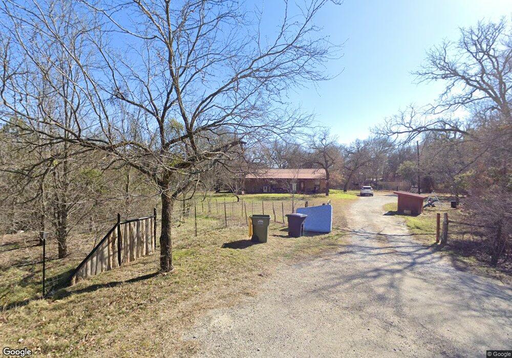
701 Green Tree Dr Weatherford, TX 76087
Estimated Value: $430,000
--
Bed
--
Bath
960
Sq Ft
$448/Sq Ft
Est. Value
About This Home
This home is located at 701 Green Tree Dr, Weatherford, TX 76087 and is currently estimated at $430,000, approximately $447 per square foot. 701 Green Tree Dr is a home located in Parker County with nearby schools including Brock Intermediate School, Brock Junior High School, and Brock High School.
Ownership History
Date
Name
Owned For
Owner Type
Purchase Details
Closed on
Feb 18, 2009
Sold by
Mcdowell Donald E
Bought by
Mcdowell Esther A
Current Estimated Value
Purchase Details
Closed on
Jan 18, 2009
Sold by
Mcdowell Donald E
Bought by
Mcdowell Esther A
Purchase Details
Closed on
Jan 1, 2009
Sold by
Mcdowell Donald E
Bought by
Mcdowell Esther
Purchase Details
Closed on
Aug 1, 1991
Bought by
Mcdowell Esther
Purchase Details
Closed on
Jul 24, 1991
Bought by
Mcdowell Esther
Create a Home Valuation Report for This Property
The Home Valuation Report is an in-depth analysis detailing your home's value as well as a comparison with similar homes in the area
Home Values in the Area
Average Home Value in this Area
Purchase History
| Date | Buyer | Sale Price | Title Company |
|---|---|---|---|
| Mcdowell Esther A | -- | None Available | |
| Mcdowell Esther A | -- | None Available | |
| Mcdowell Esther | -- | -- | |
| Mcdowell Esther | -- | -- | |
| Mcdowell Esther | -- | -- |
Source: Public Records
Tax History Compared to Growth
Tax History
| Year | Tax Paid | Tax Assessment Tax Assessment Total Assessment is a certain percentage of the fair market value that is determined by local assessors to be the total taxable value of land and additions on the property. | Land | Improvement |
|---|---|---|---|---|
| 2025 | $669 | $176,515 | -- | -- |
| 2024 | $669 | $160,468 | -- | -- |
| 2023 | $669 | $145,880 | $0 | $0 |
| 2022 | $2,692 | $132,620 | $29,020 | $103,600 |
| 2021 | $2,671 | $132,620 | $29,020 | $103,600 |
| 2020 | $2,462 | $113,740 | $19,570 | $94,170 |
| 2019 | $2,651 | $113,740 | $19,570 | $94,170 |
| 2018 | $2,461 | $125,020 | $15,610 | $109,410 |
| 2017 | $2,199 | $125,020 | $15,610 | $109,410 |
| 2016 | $1,999 | $90,240 | $15,510 | $74,730 |
| 2015 | $1,101 | $90,240 | $15,510 | $74,730 |
| 2014 | $1,214 | $71,800 | $12,540 | $59,260 |
Source: Public Records
Map
Nearby Homes
- 400 Timber Wild Dr
- 3401 Fm 1189
- 1051 Kingsley Ct
- 304 Red Roan Ridge
- 201 Pritchard Ln
- 100 Taylor Rd
- TBD1 Farm To Market Road 1189
- 2041 Verona Dr
- 223 Ruby Dr
- 2004 Verona Dr
- 2026 Verona Dr
- 2030 Verona Dr
- 2042 Verona Dr
- 2007 Verona Dr
- 103 Patrick Creek Rd
- 219 Salt Creek Ct
- 105 Beaver Creek Ct
- 734 Young Bend Rd
- 215 Salt Creek Ct
- 215 Salt Creek Ct
- 700 Green Tree Dr
- 815 Green Tree Dr
- 800 Green Tree Dr
- 980 Wood Hollow Dr
- 500 Green Tree Dr
- 451 Green Tree Dr
- 850 Wood Hollow Dr
- 972 Wood Hollow Dr
- 3951 Oak Glen Dr
- 505 Timber Wild Dr
- 450 Green Tree Dr
- 501 Timber Wild Dr
- 3905 Oak Glen Dr
- 3946 Oak Glen Dr
- 445 Timber Wild Dr
- 836 Wood Hollow Dr
- 351 Green Tree Dr
- 554 Timber Wild Dr
- 835 Wood Hollow Dr
- 8131 Old Brock Rd