701 Harborside Way Kemah, TX 77565
South Shore Harbour NeighborhoodEstimated Value: $599,519 - $864,000
--
Bed
2
Baths
2,483
Sq Ft
$287/Sq Ft
Est. Value
About This Home
This home is located at 701 Harborside Way, Kemah, TX 77565 and is currently estimated at $712,880, approximately $287 per square foot. 701 Harborside Way is a home located in Galveston County with nearby schools including Lavace Stewart Elementary School, Bayside Intermediate School, and Clear Falls High School.
Ownership History
Date
Name
Owned For
Owner Type
Purchase Details
Closed on
Jun 30, 2022
Sold by
Leavesley John E
Bought by
Julie Wehman Fathers Trust
Current Estimated Value
Purchase Details
Closed on
Dec 16, 2003
Sold by
Wager Robert E
Bought by
Leavesley John E
Purchase Details
Closed on
Sep 27, 2002
Sold by
Brickland Homes Inc
Bought by
Wager Ii Robert E
Home Financials for this Owner
Home Financials are based on the most recent Mortgage that was taken out on this home.
Original Mortgage
$30,875
Interest Rate
6.26%
Mortgage Type
Purchase Money Mortgage
Create a Home Valuation Report for This Property
The Home Valuation Report is an in-depth analysis detailing your home's value as well as a comparison with similar homes in the area
Home Values in the Area
Average Home Value in this Area
Purchase History
| Date | Buyer | Sale Price | Title Company |
|---|---|---|---|
| Julie Wehman Fathers Trust | -- | None Listed On Document | |
| Leavesley John E | -- | Stewart Title | |
| Wager Ii Robert E | -- | Stewart Title |
Source: Public Records
Mortgage History
| Date | Status | Borrower | Loan Amount |
|---|---|---|---|
| Previous Owner | Wager Ii Robert E | $30,875 |
Source: Public Records
Tax History Compared to Growth
Tax History
| Year | Tax Paid | Tax Assessment Tax Assessment Total Assessment is a certain percentage of the fair market value that is determined by local assessors to be the total taxable value of land and additions on the property. | Land | Improvement |
|---|---|---|---|---|
| 2025 | $3,710 | $624,780 | $140,750 | $484,030 |
| 2024 | $3,710 | $594,727 | -- | -- |
| 2023 | $3,710 | $540,661 | $0 | $0 |
| 2022 | $9,369 | $491,510 | $89,050 | $402,460 |
| 2021 | $10,196 | $451,790 | $89,050 | $362,740 |
| 2020 | $10,646 | $448,300 | $89,050 | $359,250 |
| 2019 | $10,185 | $408,100 | $89,050 | $319,050 |
| 2018 | $10,271 | $408,100 | $89,050 | $319,050 |
| 2017 | $9,532 | $377,960 | $58,910 | $319,050 |
| 2016 | $9,532 | $377,960 | $58,910 | $319,050 |
| 2015 | $2,581 | $377,960 | $58,910 | $319,050 |
| 2014 | $2,522 | $320,170 | $47,500 | $272,670 |
Source: Public Records
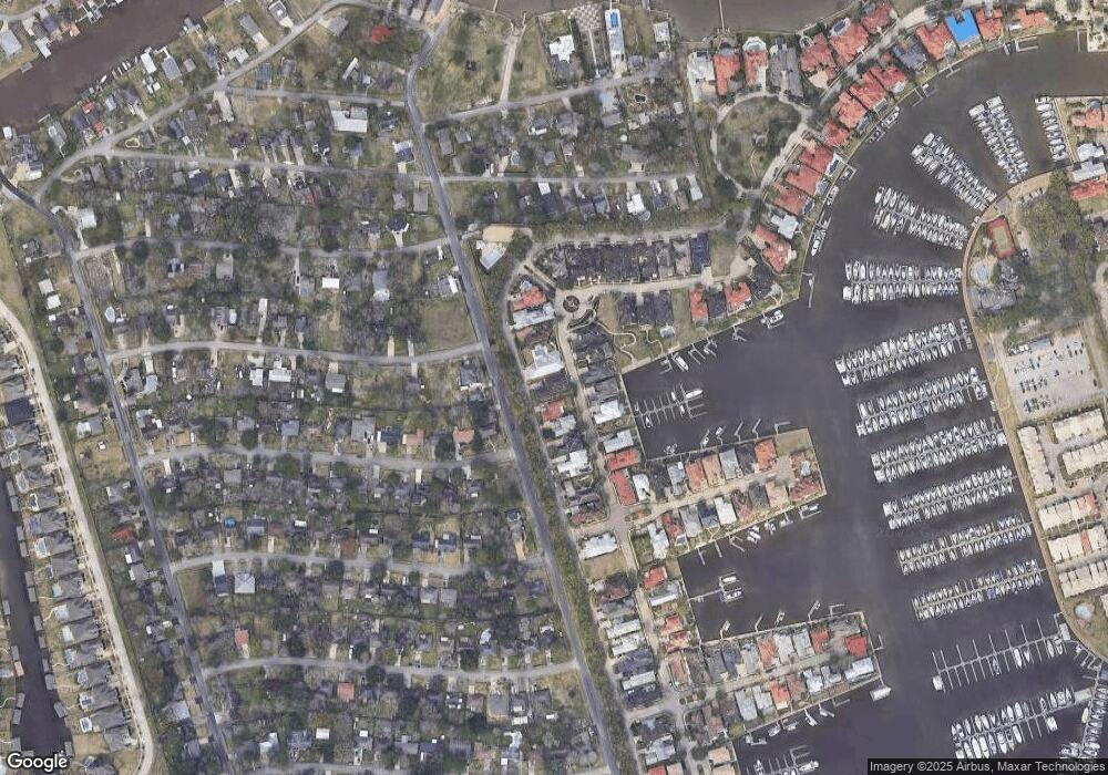
Map
Nearby Homes
- 712 Harborside Way
- 721 Harborside Way
- 2015 Sierra St
- 716 Harborside Way
- 1825 Cove Park Dr
- 2130 Cove Park Dr
- 432 Glen Cove St
- 2191 Beachcomber Dr
- 1 Waterford Oaks Ln
- 2206 Sierra St
- 2010 Monterrey St
- 2205 Rimrock St
- 2106 Monterrey St
- 23 Waterford Oaks Ln
- 419 Harborview Dr
- 2113 Knollwood
- 2108 Knollwood St
- 403 Harborside Way
- 538 Amalfi Dr
- 0 Shasta Dr
- 609 Harborside Way
- 702 Harborside Way
- 608 Harborside Way
- 729 Harborside Way
- 728 Harborside Way
- 610 Harborside Way
- 704 Harborside Way
- 607 Harborside Way
- 727 Harborside Way
- 611 Harborside Way
- 705 Harborside Way
- 2002 Sierra St
- 606 Harborside Way
- 613 Harborside Way
- 726 Harborside Way
- 613 Harborside Way
- 2001 Sequoia St
- 706 Harborside Way
- 2006 Sierra St
- 614 Harborside Way