701 Independence Dr Bourbonnais, IL 60914
Estimated Value: $268,453 - $342,000
Studio
--
Bath
--
Sq Ft
6,621
Sq Ft Lot
About This Home
This home is located at 701 Independence Dr, Bourbonnais, IL 60914 and is currently estimated at $300,363. 701 Independence Dr is a home located in Kankakee County with nearby schools including Noel Levasseur Elementary School, Liberty Intermediate School, and Bourbonnais Upper Grade Center.
Ownership History
Date
Name
Owned For
Owner Type
Purchase Details
Closed on
Oct 17, 2020
Sold by
Joven Michael D
Bought by
Joven Michael D and Joven Eugenia M
Current Estimated Value
Home Financials for this Owner
Home Financials are based on the most recent Mortgage that was taken out on this home.
Original Mortgage
$258,000
Outstanding Balance
$52,637
Interest Rate
0.8%
Mortgage Type
Reverse Mortgage Home Equity Conversion Mortgage
Estimated Equity
$247,726
Create a Home Valuation Report for This Property
The Home Valuation Report is an in-depth analysis detailing your home's value as well as a comparison with similar homes in the area
Home Values in the Area
Average Home Value in this Area
Purchase History
| Date | Buyer | Sale Price | Title Company |
|---|---|---|---|
| Joven Michael D | -- | Fnc Title |
Source: Public Records
Mortgage History
| Date | Status | Borrower | Loan Amount |
|---|---|---|---|
| Open | Joven Michael D | $258,000 | |
| Closed | Joven Michael D | $258,000 |
Source: Public Records
Tax History
| Year | Tax Paid | Tax Assessment Tax Assessment Total Assessment is a certain percentage of the fair market value that is determined by local assessors to be the total taxable value of land and additions on the property. | Land | Improvement |
|---|---|---|---|---|
| 2024 | $6,174 | $85,553 | $6,562 | $78,991 |
| 2023 | $5,325 | $75,733 | $6,076 | $69,657 |
| 2022 | $4,142 | $72,995 | $5,856 | $67,139 |
| 2021 | $4,167 | $70,102 | $5,727 | $64,375 |
| 2020 | $4,250 | $68,226 | $5,574 | $62,652 |
| 2019 | $4,295 | $64,467 | $5,412 | $59,055 |
| 2018 | $4,308 | $63,556 | $5,332 | $58,224 |
| 2017 | $4,337 | $62,006 | $5,202 | $56,804 |
| 2016 | $4,328 | $61,090 | $5,125 | $55,965 |
| 2015 | $4,383 | $59,314 | $5,074 | $54,240 |
| 2014 | $5,111 | $64,661 | $5,074 | $59,587 |
| 2013 | -- | $65,022 | $5,074 | $59,948 |
Source: Public Records
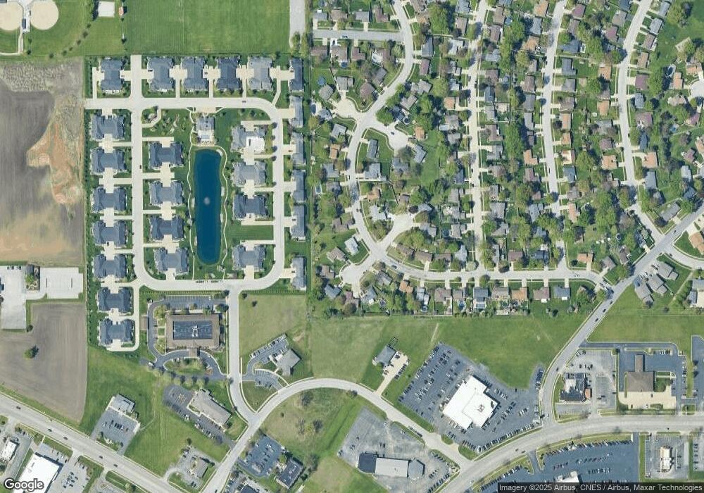
Map
Nearby Homes
- Lot 5/5A Almar Pkwy
- 817 Stonewall Dr
- 4776 - 0 Illinois 102
- 3314 Toulouse
- lot Briarcliff Ln
- 309 Steeplechase Cir
- 5 Inverness Dr
- 650 Justin Ct
- 1230 Eagle Bluff Dr
- 1313 Eagle Bluff Dr
- 417 E Beaudoin St
- 2 Guildford Dr
- 132 N Tetrault Ave
- 2 Oxford Place
- 1356 Eagle Bluff Dr
- 730 Tremont St
- 179 N Levasseur Ave
- 9 Hilltop Dr
- 22 Emery Dr
- 830 W River St
- 709 Independence Dr
- 751 Beauregard Ct
- 710 Independence Dr
- 695 Independence Dr
- 771 Beauregard Ct
- 720 Independence Dr
- 675 Independence Dr
- 670 Independence Dr
- 740 Beauregard Ct
- 780 Beauregard Ct
- 702 Arbor Pkwy
- 700 Arbor Pkwy Unit B
- 700 Arbor Pkwy Unit A
- 700 Arbor Pkwy
- 675 Beauregard Ct
- 650 Independence Dr
- 655 Independence Dr
- 660 Beauregard Ct
- 730 Independence Dr
- 690 Beauregard Ct