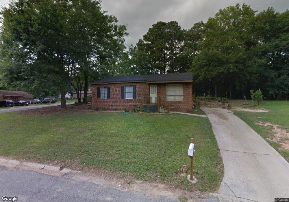
701 Kendall Ct Monroe, GA 30655
Estimated Value: $108,000 - $247,000
--
Bed
--
Bath
1,050
Sq Ft
$182/Sq Ft
Est. Value
About This Home
This home is located at 701 Kendall Ct, Monroe, GA 30655 and is currently estimated at $191,463, approximately $182 per square foot. 701 Kendall Ct is a home located in Walton County with nearby schools including Harmony Elementary School, Carver Middle School, and Monroe Area High School.
Ownership History
Date
Name
Owned For
Owner Type
Purchase Details
Closed on
May 12, 2006
Sold by
Nixson Walter H
Bought by
Partee Barry and Partee Fredia L
Current Estimated Value
Home Financials for this Owner
Home Financials are based on the most recent Mortgage that was taken out on this home.
Original Mortgage
$79,500
Outstanding Balance
$37,012
Interest Rate
6.33%
Mortgage Type
Trade
Estimated Equity
$154,451
Purchase Details
Closed on
Jul 24, 1989
Bought by
Nixson Walter H
Create a Home Valuation Report for This Property
The Home Valuation Report is an in-depth analysis detailing your home's value as well as a comparison with similar homes in the area
Home Values in the Area
Average Home Value in this Area
Purchase History
| Date | Buyer | Sale Price | Title Company |
|---|---|---|---|
| Partee Barry | $79,500 | -- | |
| Nixson Walter H | -- | -- |
Source: Public Records
Mortgage History
| Date | Status | Borrower | Loan Amount |
|---|---|---|---|
| Open | Partee Barry | $79,500 |
Source: Public Records
Tax History Compared to Growth
Tax History
| Year | Tax Paid | Tax Assessment Tax Assessment Total Assessment is a certain percentage of the fair market value that is determined by local assessors to be the total taxable value of land and additions on the property. | Land | Improvement |
|---|---|---|---|---|
| 2024 | $1,686 | $49,520 | $14,800 | $34,720 |
| 2023 | $1,575 | $45,040 | $12,000 | $33,040 |
| 2022 | $1,258 | $33,680 | $12,000 | $21,680 |
| 2021 | $807 | $20,880 | $6,000 | $14,880 |
| 2020 | $587 | $14,800 | $3,000 | $11,800 |
| 2019 | $553 | $13,120 | $3,000 | $10,120 |
| 2018 | $517 | $13,120 | $3,000 | $10,120 |
| 2017 | $530 | $12,640 | $3,000 | $9,640 |
| 2016 | $432 | $10,480 | $3,000 | $7,480 |
| 2015 | $354 | $8,440 | $3,000 | $5,440 |
| 2014 | $361 | $8,360 | $0 | $0 |
Source: Public Records
Map
Nearby Homes
- 701 W Creek Cir
- 603 Ash Ln
- 516 Harris St
- 918 Stow Ln
- 845 Store House Ct Unit B
- 808 Davis St
- 842 Store House Ct Unit A
- 842 Store House Ct Unit B
- 750 Wheel House Ln Unit B
- 833 Store House Ct Unit B
- 838 Store House Ct Unit C
- 838 Store House Ct Unit A
- 829 Store House Ct Unit B
- 829 Store House Ct Unit C
- 736 Wheel House Ln Unit A
- 1013 Davis St
- 1015 Davis St
- 703 Kendall Ct
- 704 Kendall Ct Unit 9
- 704 Kendall Ct
- 700 Harris St
- 504 Ash Ln
- 506 Ash Ln
- 700 Kendall Ct
- 0 Kendall Ct
- 612 Harris St
- 705 Kendall Ct Unit 11
- 705 Kendall Ct
- 702 Kendall Ct
- 610 Harris St
- 707 Kendall Ct
- 437 Ash St
- 703 W Creek Cir
- 0 Ash Ln Unit 3179628
- 0 Ash Ln Unit 7318342
- 0 Ash Ln Unit 7210438
- 0 Ash Ln