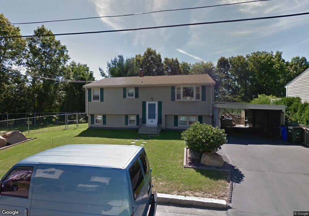
701 Lawton St Fall River, MA 02721
Maplewood NeighborhoodEstimated Value: $445,029 - $535,000
3
Beds
3
Baths
1,912
Sq Ft
$248/Sq Ft
Est. Value
About This Home
This home is located at 701 Lawton St, Fall River, MA 02721 and is currently estimated at $474,507, approximately $248 per square foot. 701 Lawton St is a home located in Bristol County with nearby schools including Letourneau Elementary School, Talbot Innovation School, and B M C Durfee High School.
Ownership History
Date
Name
Owned For
Owner Type
Purchase Details
Closed on
Jul 22, 2019
Sold by
Mello Gerald J
Bought by
Mello Ft
Current Estimated Value
Home Financials for this Owner
Home Financials are based on the most recent Mortgage that was taken out on this home.
Original Mortgage
$370,500
Interest Rate
3.8%
Mortgage Type
Adjustable Rate Mortgage/ARM
Purchase Details
Closed on
Oct 4, 1983
Bought by
Mello Gerald J and Mello Beverly A
Create a Home Valuation Report for This Property
The Home Valuation Report is an in-depth analysis detailing your home's value as well as a comparison with similar homes in the area
Home Values in the Area
Average Home Value in this Area
Purchase History
| Date | Buyer | Sale Price | Title Company |
|---|---|---|---|
| Mello Ft | -- | -- | |
| Mello Gerald J | $10,000 | -- |
Source: Public Records
Mortgage History
| Date | Status | Borrower | Loan Amount |
|---|---|---|---|
| Previous Owner | Mello Ft | $370,500 | |
| Previous Owner | Mello Gerald J | $10,853 |
Source: Public Records
Tax History Compared to Growth
Tax History
| Year | Tax Paid | Tax Assessment Tax Assessment Total Assessment is a certain percentage of the fair market value that is determined by local assessors to be the total taxable value of land and additions on the property. | Land | Improvement |
|---|---|---|---|---|
| 2025 | $3,567 | $311,500 | $60,700 | $250,800 |
| 2024 | $3,151 | $274,200 | $59,500 | $214,700 |
| 2023 | $3,195 | $260,400 | $53,600 | $206,800 |
| 2022 | $2,908 | $230,400 | $101,200 | $129,200 |
| 2021 | $2,849 | $206,000 | $91,400 | $114,600 |
| 2020 | $2,789 | $193,000 | $87,500 | $105,500 |
| 2019 | $2,903 | $199,100 | $83,300 | $115,800 |
| 2018 | $2,785 | $190,500 | $81,800 | $108,700 |
| 2017 | $2,666 | $190,400 | $82,700 | $107,700 |
| 2016 | $2,620 | $192,200 | $86,200 | $106,000 |
| 2015 | $2,388 | $182,600 | $83,000 | $99,600 |
| 2014 | $2,351 | $186,900 | $87,300 | $99,600 |
Source: Public Records
Map
Nearby Homes
- 415 Anthony St
- 228 Dickinson St
- 495 Chicago St
- 1441 Stafford Rd
- 59 Denver St
- 185 Stevens St
- 239 Glasgow St Unit 8
- 191 Glasgow St Unit 2
- 191 Glasgow St Unit 1
- 142 Norman St
- 125 Carl St
- 1553 Rodman St
- 478 Tucker St
- 217 Napoleon St
- 539 Aetna St
- 59 Wayne St
- 248 Jefferson St
- 0 Wood St
- 0 Stafford Rd Unit 1393774
- 0 Stafford Rd Unit 73431501
- 677 Lawton St
- 661 Lawton St
- 30 Maria St
- 30 Maria St Unit 1
- 684 Lawton St
- 706 Lawton St
- 645 Lawton St
- 223 Powell St
- 652 Lawton St
- 777 Below the Hill
- 25 Maria St
- 639 Lawton St
- 241 Powell St
- 640 Lawton St
- 630 Lawton St
- 602 Anthony St
- 253 Powell St
- 0 Powell St Lot 30 and 31 Unit 72221960
- 228 Powell St
- 190 Powell St