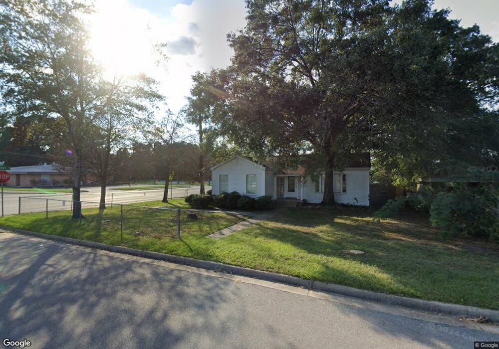
701 Martha St Lufkin, TX 75901
Estimated Value: $134,000 - $168,000
3
Beds
2
Baths
1,702
Sq Ft
$86/Sq Ft
Est. Value
About This Home
This home is located at 701 Martha St, Lufkin, TX 75901 and is currently estimated at $147,196, approximately $86 per square foot. 701 Martha St is a home located in Angelina County with nearby schools including Kurth Primary School, Anderson Elementary School, and Lufkin Middle School.
Ownership History
Date
Name
Owned For
Owner Type
Purchase Details
Closed on
Sep 14, 2012
Sold by
2010 C & M Enterprises Llc
Bought by
Hellwig Ricky Lee
Current Estimated Value
Home Financials for this Owner
Home Financials are based on the most recent Mortgage that was taken out on this home.
Original Mortgage
$160,000
Interest Rate
3.59%
Mortgage Type
Purchase Money Mortgage
Create a Home Valuation Report for This Property
The Home Valuation Report is an in-depth analysis detailing your home's value as well as a comparison with similar homes in the area
Home Values in the Area
Average Home Value in this Area
Purchase History
| Date | Buyer | Sale Price | Title Company |
|---|---|---|---|
| Hellwig Ricky Lee | -- | Community Title Company |
Source: Public Records
Mortgage History
| Date | Status | Borrower | Loan Amount |
|---|---|---|---|
| Closed | Hellwig Ricky Lee | $160,000 |
Source: Public Records
Tax History Compared to Growth
Tax History
| Year | Tax Paid | Tax Assessment Tax Assessment Total Assessment is a certain percentage of the fair market value that is determined by local assessors to be the total taxable value of land and additions on the property. | Land | Improvement |
|---|---|---|---|---|
| 2025 | $2,415 | $115,540 | $17,260 | $98,280 |
| 2024 | $2,358 | $112,850 | $17,260 | $95,590 |
| 2023 | $2,207 | $111,060 | $17,260 | $93,800 |
| 2022 | $2,272 | $99,730 | $7,160 | $92,570 |
| 2021 | $2,162 | $87,770 | $7,160 | $80,610 |
| 2020 | $1,932 | $78,610 | $7,160 | $71,450 |
| 2019 | $2,043 | $78,610 | $7,160 | $71,450 |
| 2018 | $1,703 | $74,860 | $7,160 | $67,700 |
| 2017 | $1,703 | $71,420 | $7,160 | $64,260 |
| 2016 | $1,654 | $69,360 | $7,160 | $62,200 |
| 2015 | $1,226 | $69,360 | $7,160 | $62,200 |
| 2014 | $1,226 | $63,520 | $7,160 | $56,360 |
Source: Public Records
Map
Nearby Homes
- 148 E Menefee St
- 927 S First St
- 301 Cunningham Dr
- 1110 S First St
- 322 Montrose St
- 200 Cunningham Dr
- 107 W Kerr Ave
- 115 Ward St
- 1504 May St
- 118 Jones St
- 113 W Kerr Ave
- 600 Willow Oak Dr
- 213 Lee Ln
- 619 Shadywood Dr
- 1000 Linkwood Dr
- 1505 S Chestnut St Unit 1509
- 1012 Linkwood Dr
- 325 Sunset Blvd
- 328 Sunset Blvd
- 421 House St
- 703 Martha St
- 707 Martha St
- 702 Martha St
- 713 Martha St
- 704 Martha St
- 715 Martha St
- 706 Martha St
- 728 E Denman Ave
- 717 Martha St
- 708 Martha St
- 508 E Denman Ave Unit A
- 0 Martha Dr & Sidney St
- 802 Martha St
- 801 Martha St
- 806 Martha St
- 804 Martha St
- 803 Martha St
- 805 Martha St
- 522, Suite 516 S Chestnut St
- 808 Martha St