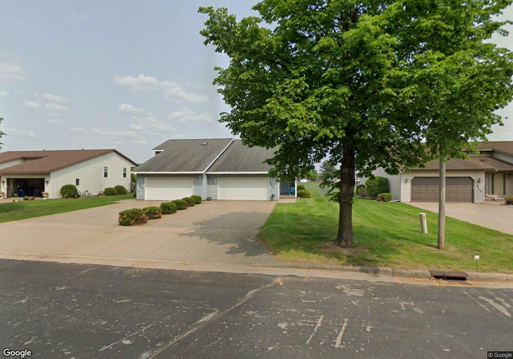
701 N 12th Ave Unit 703 Wausau, WI 54401
Estimated Value: $285,692 - $395,000
--
Bed
2
Baths
--
Sq Ft
10,454
Sq Ft Lot
About This Home
This home is located at 701 N 12th Ave Unit 703, Wausau, WI 54401 and is currently estimated at $334,673. 701 N 12th Ave Unit 703 is a home located in Marathon County with nearby schools including Grant Elementary School, John Muir Middle School, and West High School.
Ownership History
Date
Name
Owned For
Owner Type
Purchase Details
Closed on
May 22, 2023
Sold by
Schinker Christine A
Bought by
Wth Investments Llc
Current Estimated Value
Purchase Details
Closed on
Mar 1, 2008
Sold by
Milanowski Richard and Milanowski Gloria R
Bought by
Schinker Bradley R and Schinker Christine A
Home Financials for this Owner
Home Financials are based on the most recent Mortgage that was taken out on this home.
Original Mortgage
$157,000
Interest Rate
6.09%
Mortgage Type
Seller Take Back
Create a Home Valuation Report for This Property
The Home Valuation Report is an in-depth analysis detailing your home's value as well as a comparison with similar homes in the area
Home Values in the Area
Average Home Value in this Area
Purchase History
| Date | Buyer | Sale Price | Title Company |
|---|---|---|---|
| Wth Investments Llc | $592,400 | Sarah L. Ruffi, Attorney | |
| Schinker Bradley R | $157,000 | None Available |
Source: Public Records
Mortgage History
| Date | Status | Borrower | Loan Amount |
|---|---|---|---|
| Previous Owner | Schinker Bradley R | $157,000 |
Source: Public Records
Tax History Compared to Growth
Tax History
| Year | Tax Paid | Tax Assessment Tax Assessment Total Assessment is a certain percentage of the fair market value that is determined by local assessors to be the total taxable value of land and additions on the property. | Land | Improvement |
|---|---|---|---|---|
| 2024 | $5,316 | $278,400 | $30,200 | $248,200 |
| 2023 | $5,147 | $203,900 | $30,200 | $173,700 |
| 2022 | $5,146 | $203,900 | $30,200 | $173,700 |
| 2021 | $4,980 | $203,900 | $30,200 | $173,700 |
| 2020 | $5,050 | $203,900 | $30,200 | $173,700 |
| 2019 | $5,078 | $191,300 | $25,500 | $165,800 |
| 2018 | $5,007 | $191,300 | $25,500 | $165,800 |
| 2017 | $4,831 | $191,300 | $25,500 | $165,800 |
| 2016 | $4,699 | $191,300 | $25,500 | $165,800 |
| 2015 | $4,818 | $191,300 | $25,500 | $165,800 |
| 2014 | $4,945 | $206,100 | $27,200 | $178,900 |
Source: Public Records
Map
Nearby Homes
- 614 N 10th Ave
- 1104 Holub St
- 501 N 12th Ave
- 706 N 9th Ave
- 802 N 9th Ave
- 908 N 10th Ave
- 1111 Pine St
- 328 N 11th Ave
- 515 N 8th Ave
- 1505 Graham St
- 314 N 10th Ave
- 1514 Brady St
- 427 N 6th Ave
- 213 N 17th Ave
- 817 N 2nd Ave
- 1311 N 4th Ave
- 1508 Merrill Ave Unit 311
- 1508 Merrill Ave Unit 213
- 1504 N 15th Ave
- 108 W Strowbridge St
- 641 N 12th Ave Unit 643
- 711 N 12th Ave Unit 713
- 633-635 N 12th Ave
- 633 N 12th Ave Unit 635
- 721 N 12th Ave Unit 723
- 710 N 12th Ave
- 640 N 12th Ave
- 724 N 12th Ave
- 625 N 12th Ave Unit 627
- 625-627 N 12th Ave
- 1206 Quaw St
- 731 N 12th Ave Unit 733
- 1205 Quaw St
- 1205 Norton St
- 1202 Nicolet St Unit 1204
- 617 N 12th Ave Unit 619
- 1302 Quaw St
- 1206 Nicolet St Unit 1208
- 1202 Norton St Unit 1204
- 1301 Norton St