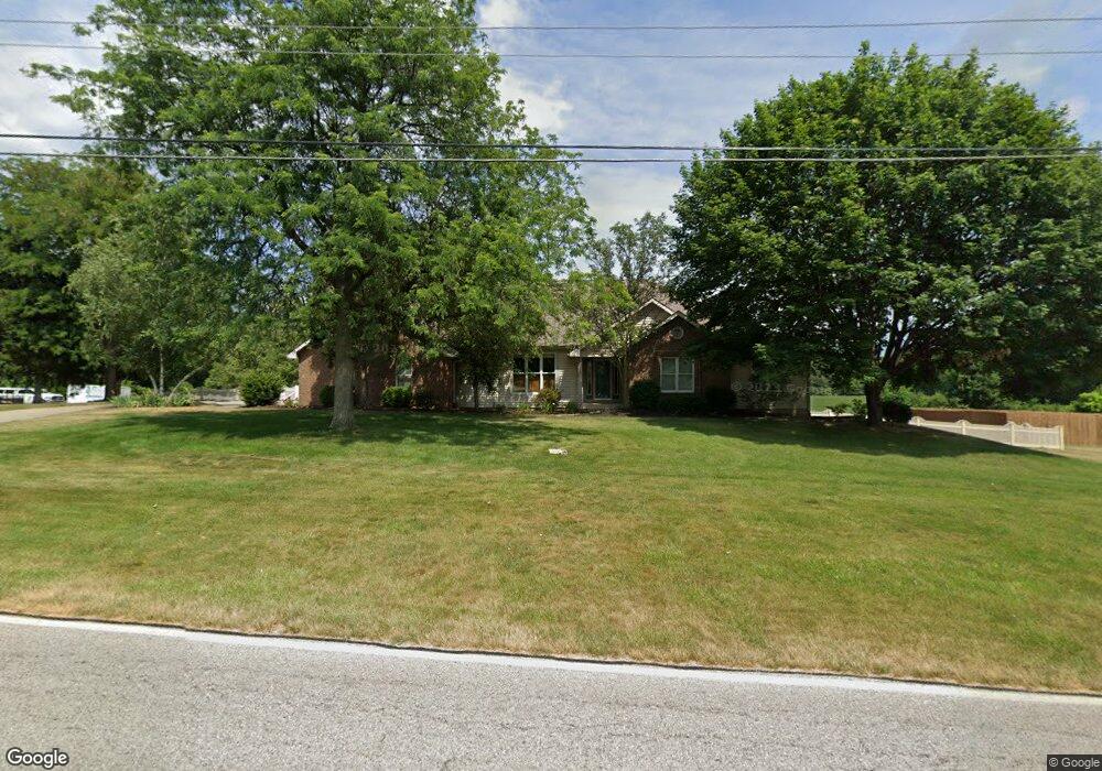
701 N 550 E Lafayette, IN 47905
Estimated Value: $422,000 - $502,000
--
Bed
--
Bath
2,204
Sq Ft
$211/Sq Ft
Est. Value
About This Home
This home is located at 701 N 550 E, Lafayette, IN 47905 and is currently estimated at $465,388, approximately $211 per square foot. 701 N 550 E is a home located in Tippecanoe County with nearby schools including Wyandotte Elementary School, East Tipp Middle School, and William Henry Harrison High School.
Ownership History
Date
Name
Owned For
Owner Type
Purchase Details
Closed on
Feb 27, 2024
Sold by
Adams Michael R and Adams Suzanne M
Bought by
Michael R And Mary Suzanne Adams Living Trust and Adams
Current Estimated Value
Create a Home Valuation Report for This Property
The Home Valuation Report is an in-depth analysis detailing your home's value as well as a comparison with similar homes in the area
Home Values in the Area
Average Home Value in this Area
Purchase History
| Date | Buyer | Sale Price | Title Company |
|---|---|---|---|
| Michael R And Mary Suzanne Adams Living Trust | -- | None Listed On Document |
Source: Public Records
Tax History Compared to Growth
Tax History
| Year | Tax Paid | Tax Assessment Tax Assessment Total Assessment is a certain percentage of the fair market value that is determined by local assessors to be the total taxable value of land and additions on the property. | Land | Improvement |
|---|---|---|---|---|
| 2024 | $2,941 | $426,200 | $26,000 | $400,200 |
| 2023 | $2,772 | $408,900 | $26,000 | $382,900 |
| 2022 | $2,571 | $349,600 | $26,000 | $323,600 |
| 2021 | $2,226 | $309,600 | $26,000 | $283,600 |
| 2020 | $1,914 | $280,500 | $26,000 | $254,500 |
| 2019 | $1,765 | $264,100 | $26,000 | $238,100 |
| 2018 | $1,749 | $266,700 | $26,000 | $240,700 |
| 2017 | $1,670 | $254,200 | $26,000 | $228,200 |
| 2016 | $1,591 | $246,900 | $26,000 | $220,900 |
| 2014 | $1,349 | $217,600 | $40,000 | $177,600 |
| 2013 | $1,348 | $209,400 | $40,000 | $169,400 |
Source: Public Records
Map
Nearby Homes
- 1237 Meadowbrook Dr
- 5599 Dunston Dr
- 4735 Eisenhower Rd
- 281 Bluegrass Dr
- 100 Sugar Maple Ct
- 138 Finsbury St
- 206 Folkston Way
- 532 Bearsden Ln
- 489 Elbridge Ln
- 100 Rosa Ln
- 5334 Wilmington Cir
- 6570 Wallingford St
- Lot #2 8961 Firefly Ln
- Lot #6 8881 Firefly Ln
- Lot #1 8981 Firefly Ln
- 384 Wallingford (268 Bls) St
- 432 Folkston (83 Bls) Way
- 392 Wallingford (Lot 267) St
- 703 Emerald Dr
- 717 Foxwood Dr
- 655 N 550 E
- 5417 Dunbar Dr
- 5416 Dunbar Dr
- 5416 Cameron Ln
- 5410 Cameron Ln
- 5407 Dunbar Dr
- 5406 Dunbar Dr
- 611 N 550 E
- 5417 Cameron Ln
- 5404 Cameron Ln
- 5411 Cameron Ln
- 5324 Dunbar Dr
- 5330 Cameron Ln
- 5405 Cameron Ln
- 5325 Dunbar Dr
- 5502 Wintercrest Ct Unit 11
- 5324 Cameron Ln
- 835 N 550 E
- 605 Sterling Dr
- 831 N 550 E