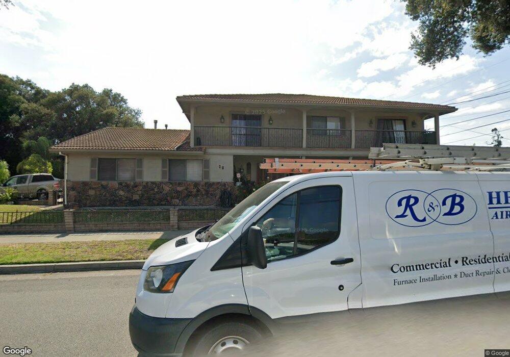
701 N Bascom Ave San Jose, CA 95128
Bascom-Forest NeighborhoodEstimated Value: $2,279,000 - $2,759,269
4
Beds
3
Baths
3,919
Sq Ft
$630/Sq Ft
Est. Value
About This Home
This home is located at 701 N Bascom Ave, San Jose, CA 95128 and is currently estimated at $2,469,817, approximately $630 per square foot. 701 N Bascom Ave is a home located in Santa Clara County with nearby schools including Merritt Trace Elementary, Herbert Hoover Middle School, and Abraham Lincoln High.
Ownership History
Date
Name
Owned For
Owner Type
Purchase Details
Closed on
Oct 29, 2018
Sold by
Voutos Mavra
Bought by
Voutos Mavra and Mavra Voutos Trust
Current Estimated Value
Create a Home Valuation Report for This Property
The Home Valuation Report is an in-depth analysis detailing your home's value as well as a comparison with similar homes in the area
Home Values in the Area
Average Home Value in this Area
Purchase History
| Date | Buyer | Sale Price | Title Company |
|---|---|---|---|
| Voutos Mavra | -- | None Available |
Source: Public Records
Tax History
| Year | Tax Paid | Tax Assessment Tax Assessment Total Assessment is a certain percentage of the fair market value that is determined by local assessors to be the total taxable value of land and additions on the property. | Land | Improvement |
|---|---|---|---|---|
| 2025 | $7,563 | $538,252 | $132,015 | $406,237 |
| 2024 | $7,563 | $527,699 | $129,427 | $398,272 |
| 2023 | $7,396 | $517,353 | $126,890 | $390,463 |
| 2022 | $7,332 | $507,209 | $124,402 | $382,807 |
| 2021 | $7,152 | $497,264 | $121,963 | $375,301 |
| 2020 | $6,966 | $492,166 | $120,713 | $371,453 |
| 2019 | $6,804 | $482,517 | $118,347 | $364,170 |
| 2018 | $6,723 | $473,057 | $116,027 | $357,030 |
| 2017 | $6,660 | $463,782 | $113,752 | $350,030 |
| 2016 | $6,497 | $454,689 | $111,522 | $343,167 |
| 2015 | $6,446 | $447,860 | $109,847 | $338,013 |
| 2014 | $6,008 | $439,088 | $107,696 | $331,392 |
Source: Public Records
Map
Nearby Homes
- 2135 W Hedding St
- 2167 Emory St
- 1683 Topeka Ave
- 2469 Olive Ave
- 2089 Laurelei Ave
- 139 Brooklyn Ave
- 195 Boston Ave
- 1508 W Hedding St
- 2004 Cherrystone Dr
- 0 N Bascom Ave
- 1481 W Hedding St
- 1486 Burrell Ct
- 330 Arleta Ave
- 1915 Heatherdale Ave
- 2080 Heatherdale Ave
- 354 Irving Ave
- 418 Vaughn Ave Unit 1 & 2
- 2215 Sunny Vista Dr
- 1555 Calaveras Ave
- 727 N Clover Ave
- 2011 Emory St
- 2017 Emory St
- 2004 University Ave
- 2010 University Ave
- 1975 Emory St
- 2020 University Ave
- 2002 Emory St
- 2023 Emory St
- 2008 Emory St
- 1961 Emory St
- 2014 Emory St
- 1990 Emory St
- 748 N Bascom Ave
- 2029 Emory St
- 2028 University Ave
- 1974 Emory St
- 1945 Emory St
- 2020 Emory St
- 675 N Bascom Ave
- 1960 Emory St
Your Personal Tour Guide
Ask me questions while you tour the home.