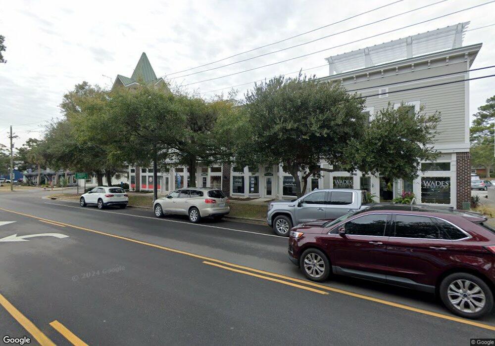
701 N Howe St Unit 1 Southport, NC 28461
Estimated Value: $377,853
--
Bed
--
Bath
43,560
Sq Ft
$9/Sq Ft
Est. Value
About This Home
This home is located at 701 N Howe St Unit 1, Southport, NC 28461 and is currently estimated at $377,853, approximately $8 per square foot. 701 N Howe St Unit 1 is a home located in Brunswick County with nearby schools including Southport Elementary School, South Brunswick Middle School, and South Brunswick High School.
Ownership History
Date
Name
Owned For
Owner Type
Purchase Details
Closed on
Jun 15, 2023
Sold by
Bullard James Don
Bought by
James Don Bullard Ii Amended And Fully Restat
Current Estimated Value
Purchase Details
Closed on
Jul 1, 2019
Sold by
Bullard James Don and Estate Of James Don Bullard Sr
Bought by
Bullard Jamed Don
Purchase Details
Closed on
Mar 18, 2016
Sold by
Caddell Mary B
Bought by
Bullard James Don
Purchase Details
Closed on
Jan 11, 2008
Sold by
Edmonds William Chris
Bought by
Caddell James H and Caddell Mary B
Create a Home Valuation Report for This Property
The Home Valuation Report is an in-depth analysis detailing your home's value as well as a comparison with similar homes in the area
Home Values in the Area
Average Home Value in this Area
Purchase History
| Date | Buyer | Sale Price | Title Company |
|---|---|---|---|
| James Don Bullard Ii Amended And Fully Restat | -- | None Listed On Document | |
| Bullard Jamed Don | -- | None Available | |
| Bullard James Don | $175,000 | None Available | |
| Caddell James H | $352,500 | None Available |
Source: Public Records
Tax History Compared to Growth
Tax History
| Year | Tax Paid | Tax Assessment Tax Assessment Total Assessment is a certain percentage of the fair market value that is determined by local assessors to be the total taxable value of land and additions on the property. | Land | Improvement |
|---|---|---|---|---|
| 2025 | -- | $227,200 | $0 | $227,200 |
| 2024 | $1,972 | $227,200 | $0 | $227,200 |
| 2023 | $1,818 | $227,200 | $0 | $227,200 |
| 2022 | $0 | $154,010 | $0 | $154,010 |
| 2021 | $0 | $154,010 | $0 | $154,010 |
| 2020 | $1,939 | $154,010 | $0 | $154,010 |
| 2019 | $1,539 | $0 | $0 | $0 |
| 2018 | $1,939 | $0 | $0 | $0 |
| 2017 | $1,914 | $0 | $0 | $0 |
| 2016 | $1,763 | $0 | $0 | $0 |
| 2015 | $1,763 | $202,800 | $0 | $202,800 |
| 2014 | $1,905 | $234,160 | $75,000 | $159,160 |
Source: Public Records
Map
Nearby Homes
- 716 N Atlantic Ave
- 205 W Leonard St
- Lot 5a N Caswell Ave
- 826 N Caswell Ave
- 520 Clarendon Ave
- 403 N Howe St
- 27 Lots N Caswell Ave
- 607 Burrington Ave
- 311 College St
- 210 W West St
- Tr-1 Hankinsville
- Tr-2 W 9th St
- 610 N Fodale Ave
- 742 Skipjack Cir
- Lot 5b Hankinsville Rd
- 220 N Caswell Ave
- 608 W Brown St Unit C
- 411 Nicks Way Unit B
- 203 Clarendon Ave
- 213 E 11th St
- 701 N Howe St Unit 7
- 701 N Howe St Unit 8
- 701 N Howe St Unit 6
- 701 N Howe St Unit 5
- 701 N Howe St Unit A-5
- 701 N Howe St Unit A
- 108 W Owen St W
- 108 W Owens St Unit Bldg. C-Unit 1
- 108 W Owens St
- 108 W Owens St Unit C-1
- 108 W Owens St Unit 2
- 108 W Owens St Unit 4
- 715 N Howe St Unit 7
- 715 N Howe St Unit 6b
- 715 N Howe St Unit B - 4
- 715 N Howe St Unit B - 5
- 715 N Howe St Unit B6
- 715 N Howe St Unit 1
- 715 N Howe St Unit 2
- 619 N Howe St Unit A-D