701 N Union St Delphi, IN 46923
Estimated Value: $152,000 - $216,000
4
Beds
2
Baths
1,198
Sq Ft
$151/Sq Ft
Est. Value
About This Home
This home is located at 701 N Union St, Delphi, IN 46923 and is currently estimated at $180,463, approximately $150 per square foot. 701 N Union St is a home located in Carroll County with nearby schools including Delphi Community Elementary School, Delphi Community Middle School, and Delphi Community High School.
Ownership History
Date
Name
Owned For
Owner Type
Purchase Details
Closed on
Dec 23, 2024
Sold by
Dunn John
Bought by
Dunn John and Hawn Julie
Current Estimated Value
Purchase Details
Closed on
May 31, 2013
Sold by
Snyder Willis A and Snyder Patricia A
Bought by
Dunn John J
Purchase Details
Closed on
Apr 3, 2013
Sold by
Little Elizabeth Mae
Bought by
Snyder Willis A and Snyder Patricia A
Purchase Details
Closed on
Mar 25, 2013
Sold by
Snyder Kenneth Wayne
Bought by
Snyder Willis A and Snyder Patricia A
Purchase Details
Closed on
Mar 20, 2013
Sold by
Snyder Jonathan Thomas
Bought by
Snyder Willis A and Snyder Patricia A
Create a Home Valuation Report for This Property
The Home Valuation Report is an in-depth analysis detailing your home's value as well as a comparison with similar homes in the area
Home Values in the Area
Average Home Value in this Area
Purchase History
| Date | Buyer | Sale Price | Title Company |
|---|---|---|---|
| Dunn John | -- | None Listed On Document | |
| Dunn John J | -- | None Available | |
| Snyder Willis A | -- | None Available | |
| Snyder Willis A | -- | None Available | |
| Snyder Willis A | -- | None Available |
Source: Public Records
Tax History Compared to Growth
Tax History
| Year | Tax Paid | Tax Assessment Tax Assessment Total Assessment is a certain percentage of the fair market value that is determined by local assessors to be the total taxable value of land and additions on the property. | Land | Improvement |
|---|---|---|---|---|
| 2024 | $930 | $108,200 | $12,000 | $96,200 |
| 2023 | $2,367 | $94,300 | $12,000 | $82,300 |
| 2022 | $1,630 | $81,500 | $10,900 | $70,600 |
| 2021 | $1,404 | $70,200 | $10,000 | $60,200 |
| 2020 | $1,352 | $67,600 | $10,000 | $57,600 |
| 2019 | $1,244 | $62,200 | $10,000 | $52,200 |
| 2018 | $1,190 | $59,500 | $10,000 | $49,500 |
| 2017 | $1,202 | $60,100 | $9,000 | $51,100 |
| 2016 | $1,158 | $57,900 | $9,000 | $48,900 |
| 2014 | $570 | $57,000 | $9,000 | $48,000 |
Source: Public Records
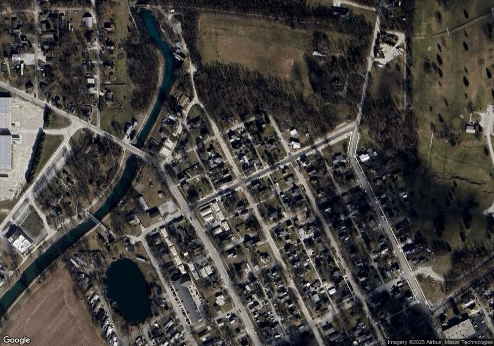
Map
Nearby Homes
- 409 N Wilson St
- 317 N Market St
- 205 E Franklin St
- 215 W Front St
- 1158 N Brewer Ave
- 116 Williston Ct
- 112 Williston Ct
- 228 W Vine St
- 230 W Vine St
- 232 W Vine St
- 4139 N 900 W
- 9331 W 310 N
- 2801 N 930 W Unit 10
- 2075 N 925 W
- 35 Pond View Dr
- 8649 W Division Line Rd
- 11503 W Tecumseh Bend Rd
- 5122 W 700 N
- 12814 W Bicycle Bridge Rd
- 6369 N 1225 West Crossroad