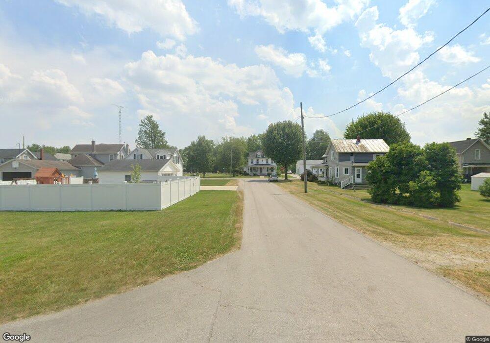
701 N West St Bascom, OH 44809
Estimated Value: $51,000 - $172,000
2
Beds
1
Bath
858
Sq Ft
$113/Sq Ft
Est. Value
About This Home
This home is located at 701 N West St, Bascom, OH 44809 and is currently estimated at $96,541, approximately $112 per square foot. 701 N West St is a home with nearby schools including Hopewell-Loudon Local Elementary School and North Central Academy - Fremont.
Ownership History
Date
Name
Owned For
Owner Type
Purchase Details
Closed on
Mar 19, 2025
Sold by
Miller Adrian Ray and Urban Alison Rae
Bought by
Miller Adrian Ray and Miller Stacy Marie
Current Estimated Value
Home Financials for this Owner
Home Financials are based on the most recent Mortgage that was taken out on this home.
Original Mortgage
$69,000
Outstanding Balance
$66,583
Interest Rate
6.05%
Mortgage Type
New Conventional
Estimated Equity
$29,958
Purchase Details
Closed on
Aug 30, 1993
Sold by
Hossler David G
Bought by
Miller Cynthia A
Purchase Details
Closed on
Dec 17, 1991
Sold by
Hossler David G
Bought by
Hossler David G
Purchase Details
Closed on
Feb 1, 1989
Purchase Details
Closed on
Jul 1, 1987
Create a Home Valuation Report for This Property
The Home Valuation Report is an in-depth analysis detailing your home's value as well as a comparison with similar homes in the area
Purchase History
| Date | Buyer | Sale Price | Title Company |
|---|---|---|---|
| Miller Adrian Ray | $46,000 | Assured Title | |
| Miller Cynthia A | $41,000 | -- | |
| Hossler David G | -- | -- | |
| -- | $27,000 | -- | |
| -- | $25,000 | -- |
Source: Public Records
Mortgage History
| Date | Status | Borrower | Loan Amount |
|---|---|---|---|
| Open | Miller Adrian Ray | $69,000 |
Source: Public Records
Tax History
| Year | Tax Paid | Tax Assessment Tax Assessment Total Assessment is a certain percentage of the fair market value that is determined by local assessors to be the total taxable value of land and additions on the property. | Land | Improvement |
|---|---|---|---|---|
| 2025 | $1,002 | $25,860 | $2,730 | $23,130 |
| 2024 | $620 | $25,860 | $2,730 | $23,130 |
| 2023 | $656 | $25,860 | $2,730 | $23,130 |
| 2022 | $408 | $17,980 | $2,730 | $15,250 |
| 2021 | $410 | $17,980 | $2,730 | $15,250 |
| 2020 | $376 | $17,983 | $2,730 | $15,253 |
| 2019 | $268 | $15,247 | $2,377 | $12,870 |
| 2018 | $309 | $15,247 | $2,377 | $12,870 |
| 2017 | $249 | $15,247 | $2,377 | $12,870 |
| 2016 | $186 | $12,590 | $2,377 | $10,213 |
| 2015 | $184 | $12,590 | $2,377 | $10,213 |
| 2014 | $148 | $12,590 | $2,377 | $10,213 |
| 2013 | $160 | $12,590 | $2,377 | $10,213 |
Source: Public Records
Map
Nearby Homes
- 2945 W State Route 18
- 0 Shaffer Park Dr Unit 20251435
- 3007 W County Road 52
- 3166 N County Road 11
- 2400 S Township Road 119 Unit 36
- 2400 S Twp Rd 119 Unit 16
- 0 Tr 0113
- 0 Township Road 198a Unit Parcel 4
- 0 Township Road 198a Unit 10003057
- 0 W Tr 198a Unit 20260135
- 0 Miami St Unit 10003054
- 0 Miami St Unit Parcel 2
- 0 Miami St Unit 20260131
- 376 W Perry St
- 96 Lindsay Ave
- 0 W Township Road 116
- 191 Wentz St
- 127 Wentz St
- 311 W Perry St
- 1313 Columbus Ave Unit C
- 711 N West St
- 691 N West St
- 711 S Washington St
- 694 S Washington St
- 681 N West St
- 694 West St
- 684 N West St
- 692 N Beech St
- 6097 W Tiffin St
- 682 N State Route 635 St
- 6061 W Tiffin St
- 6320 W Tiffin St
- 6111 W Tiffin St
- 6051 W Tiffin St
- 6121 W Tiffin St
- 6135 W Tiffin St
- 6039 W Tiffin St
- 662 N Beech St
- 6149 Tiffin St
- 6090 W Tiffin St
Your Personal Tour Guide
Ask me questions while you tour the home.