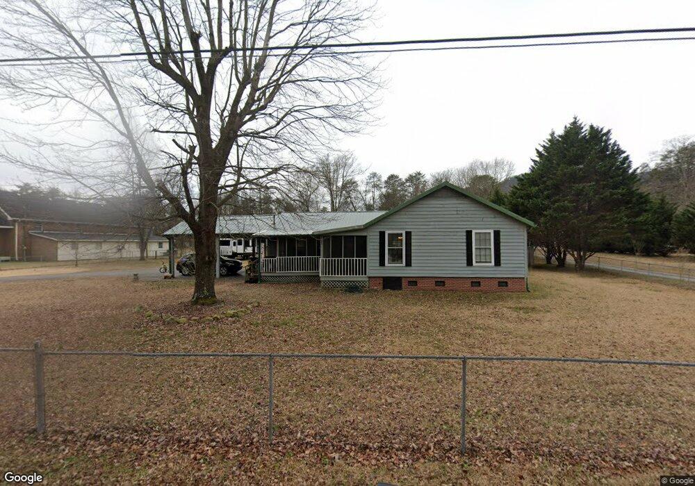
701 Ray Ln Hixson, TN 37343
Falling Water NeighborhoodEstimated Value: $262,000 - $350,000
3
Beds
2
Baths
1,778
Sq Ft
$175/Sq Ft
Est. Value
About This Home
This home is located at 701 Ray Ln, Hixson, TN 37343 and is currently estimated at $310,748, approximately $174 per square foot. 701 Ray Ln is a home located in Hamilton County with nearby schools including Ganns Middle Valley Elementary School, Red Bank Middle School, and Red Bank High School.
Ownership History
Date
Name
Owned For
Owner Type
Purchase Details
Closed on
Mar 20, 2014
Sold by
Jackson Brenda S
Bought by
Michael Steve and Michael Rebecca
Current Estimated Value
Purchase Details
Closed on
Dec 13, 2012
Sold by
Jetton Charles David
Bought by
Jackson Brenda S
Purchase Details
Closed on
Aug 22, 2003
Sold by
King Billy Wayne and King Joyce Marie
Bought by
Jetton Charles David
Home Financials for this Owner
Home Financials are based on the most recent Mortgage that was taken out on this home.
Original Mortgage
$109,250
Interest Rate
5.52%
Mortgage Type
Purchase Money Mortgage
Create a Home Valuation Report for This Property
The Home Valuation Report is an in-depth analysis detailing your home's value as well as a comparison with similar homes in the area
Home Values in the Area
Average Home Value in this Area
Purchase History
| Date | Buyer | Sale Price | Title Company |
|---|---|---|---|
| Michael Steve | $90,000 | Northgate Title Escrow Inc | |
| Jackson Brenda S | $110,000 | None Available | |
| Jetton Charles David | $115,000 | Northgate Title Escrow Inc |
Source: Public Records
Mortgage History
| Date | Status | Borrower | Loan Amount |
|---|---|---|---|
| Previous Owner | Jetton Charles David | $109,250 |
Source: Public Records
Tax History
| Year | Tax Paid | Tax Assessment Tax Assessment Total Assessment is a certain percentage of the fair market value that is determined by local assessors to be the total taxable value of land and additions on the property. | Land | Improvement |
|---|---|---|---|---|
| 2025 | $918 | $60,550 | $0 | $0 |
| 2024 | $947 | $42,325 | $0 | $0 |
| 2023 | $956 | $42,325 | $0 | $0 |
| 2022 | $956 | $42,325 | $0 | $0 |
| 2021 | $956 | $42,325 | $0 | $0 |
| 2020 | $837 | $29,950 | $0 | $0 |
| 2019 | $837 | $29,950 | $0 | $0 |
| 2018 | $837 | $29,950 | $0 | $0 |
| 2017 | $837 | $29,950 | $0 | $0 |
| 2016 | $805 | $0 | $0 | $0 |
| 2015 | $805 | $28,800 | $0 | $0 |
| 2014 | $805 | $0 | $0 | $0 |
Source: Public Records
Map
Nearby Homes
- 6807 Levi Rd
- 704 Ray Ln
- 733 Ray Ln
- 747 Deer Valley Dr
- 555 Deer Valley Dr
- 404 Canyon Springs Dr
- 6309 Levi Rd
- 46.77 Roberts Mill Rd
- 311 Roberts Mill Rd
- 0 Sawyer Cemetery Rd Unit RTC3180897
- 792 Sawmill Trail
- 7717 Selcer Rd
- 0 Rocky Ledge Rd Unit 1530108
- 7783 Rocky Ledge Rd
- 7756 Rocky Ledge Rd
- 7393 Blackstone Dr
- 0 Forest Park Dr Unit RTC3122458
- 0 Forest Park Dr Unit 1527995
- 21 Dowlen Rd
- 1395 Sawyer Cemetery Rd
Your Personal Tour Guide
Ask me questions while you tour the home.