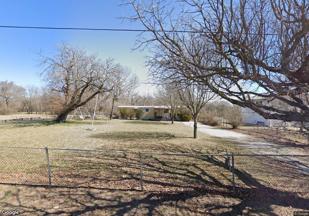
701 S Hart Ave Shawnee, OK 74801
Estimated Value: $79,000 - $132,000
3
Beds
1
Bath
1,051
Sq Ft
$108/Sq Ft
Est. Value
About This Home
This home is located at 701 S Hart Ave, Shawnee, OK 74801 and is currently estimated at $114,000, approximately $108 per square foot. 701 S Hart Ave is a home located in Pottawatomie County with nearby schools including Jefferson Elementary School, Shawnee Middle School, and Shawnee High School.
Ownership History
Date
Name
Owned For
Owner Type
Purchase Details
Closed on
Oct 26, 2020
Sold by
Wesley Bobbie E
Bought by
Wesl James and Wesl Bobbie
Current Estimated Value
Purchase Details
Closed on
Jul 23, 2015
Sold by
Cranford Terrie A and Schultz Dustin Leonard
Bought by
Vernon Marvin Jon and Vernon Sharon Denise
Purchase Details
Closed on
Jul 26, 2011
Sold by
Loman Patty
Bought by
Cranford Terrie
Purchase Details
Closed on
Jul 15, 1993
Sold by
Deleon Willie and Deleon Jessie
Bought by
Deleon Willie
Create a Home Valuation Report for This Property
The Home Valuation Report is an in-depth analysis detailing your home's value as well as a comparison with similar homes in the area
Home Values in the Area
Average Home Value in this Area
Purchase History
| Date | Buyer | Sale Price | Title Company |
|---|---|---|---|
| Wesl James | -- | -- | |
| Vernon Marvin Jon | -- | None Available | |
| Cranford Terrie | -- | None Available | |
| Deleon Willie | -- | -- |
Source: Public Records
Tax History Compared to Growth
Tax History
| Year | Tax Paid | Tax Assessment Tax Assessment Total Assessment is a certain percentage of the fair market value that is determined by local assessors to be the total taxable value of land and additions on the property. | Land | Improvement |
|---|---|---|---|---|
| 2025 | $31 | $315 | $315 | -- |
| 2024 | $31 | $300 | $300 | -- |
| 2023 | $31 | $300 | $300 | $0 |
| 2022 | $31 | $300 | $300 | $0 |
| 2021 | $30 | $300 | $300 | $0 |
| 2020 | $30 | $300 | $300 | $0 |
| 2019 | $31 | $300 | $300 | $0 |
| 2018 | $31 | $300 | $300 | $0 |
| 2017 | $295 | $2,923 | $300 | $2,623 |
| 2016 | $98 | $959 | $300 | $659 |
| 2015 | $278 | $2,778 | $300 | $2,478 |
| 2014 | $265 | $2,646 | $300 | $2,346 |
Source: Public Records
Map
Nearby Homes
- 300 S Kennedy Ave
- 627 W Hayes St
- 408 S Pottenger Ave
- 521 S Louisa Ave
- 302 S Leo Ave
- 323 S Park Ave
- 00 Gordon Cooper 12 56 Acres Dr
- 820 W Highland St
- 803 S Bell Ave
- 548 N Ione Ave
- 628 S Philadelphia Ave
- 548 N Kickapoo Ave
- 611 N Chapman Ave
- 509 N Park Ave
- 222 W Highland St
- 508 N Market Ave Unit A & B
- 426 N Beard Ave
- 238 S Oklahoma Ave
- 607 W Dewey St
- 245 S Oklahoma Ave
- 701 S Hart Ave Unit ST 1/2
- 801 Hart St
- 626 S Hart Ave
- 624 Hart St
- 615 Hart St
- 630 Hart St
- 900 S Hart Ave
- 902 W Dunbar St
- 708 S Tennessee Ave
- 710 S Tennessee Ave
- 1011 W Farrall
- 712 S Tennessee Ave
- 704 S Tennessee Ave
- 718 S Tennessee Ave
- 1300 W Farrall St
- 624 S Tennessee Ave
- 804 S Tennessee Ave
- 618 S Tennessee Ave
- 713 S Tennessee Ave
- 711 S Tennessee Ave