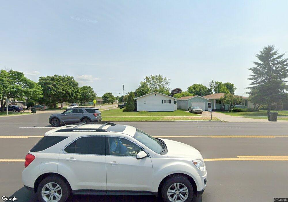
701 S Lincoln Rd Escanaba, MI 49829
Estimated Value: $168,000 - $188,000
2
Beds
1
Bath
1,364
Sq Ft
$133/Sq Ft
Est. Value
About This Home
This home is located at 701 S Lincoln Rd, Escanaba, MI 49829 and is currently estimated at $181,039, approximately $132 per square foot. 701 S Lincoln Rd is a home located in Delta County with nearby schools including Escanaba Jr./Sr. High School, Holy Name Catholic School, and Escanaba Sda School.
Ownership History
Date
Name
Owned For
Owner Type
Purchase Details
Closed on
Jul 18, 2022
Sold by
Pascoe Whitney E
Bought by
Riley Corrigan
Current Estimated Value
Purchase Details
Closed on
Mar 15, 2018
Sold by
Hakes Angeline A
Bought by
Pascoe Whitney E
Purchase Details
Closed on
Mar 10, 1992
Sold by
Lipinski Jeffrey and Lipinski Susan
Bought by
Hakes Angeline
Purchase Details
Closed on
Jul 16, 1986
Sold by
Meehan Emmett and Meehan Madeline
Bought by
Lipinski Jeffery and Lipinski Susan
Create a Home Valuation Report for This Property
The Home Valuation Report is an in-depth analysis detailing your home's value as well as a comparison with similar homes in the area
Home Values in the Area
Average Home Value in this Area
Purchase History
| Date | Buyer | Sale Price | Title Company |
|---|---|---|---|
| Riley Corrigan | $170,000 | -- | |
| Pascoe Whitney E | $68,000 | -- | |
| Hakes Angeline | -- | -- | |
| Lipinski Jeffery | -- | -- |
Source: Public Records
Tax History
| Year | Tax Paid | Tax Assessment Tax Assessment Total Assessment is a certain percentage of the fair market value that is determined by local assessors to be the total taxable value of land and additions on the property. | Land | Improvement |
|---|---|---|---|---|
| 2025 | $2,046 | $71,100 | $0 | $0 |
| 2024 | $1,988 | $66,700 | $0 | $0 |
| 2023 | $1,895 | $59,900 | $0 | $0 |
| 2022 | $2,150 | $52,900 | $0 | $0 |
| 2021 | $2,072 | $49,100 | $0 | $0 |
| 2020 | $2,094 | $50,200 | $0 | $0 |
| 2019 | $2,028 | $48,500 | $0 | $0 |
| 2018 | $1,840 | $53,600 | $0 | $0 |
| 2017 | $1,428 | $55,008 | $0 | $0 |
| 2016 | $2,700 | $52,038 | $0 | $0 |
| 2014 | $1,367 | $48,746 | $0 | $0 |
| 2013 | $1,367 | $47,434 | $0 | $0 |
Source: Public Records
Map
Nearby Homes
- 701 S Lincoln Rd
- 705 S Lincoln Rd
- 705 S Lincoln Rd
- 2201 6th Ave S
- 2201 6th Ave S
- 611 S Lincoln Rd
- 2204 7th Ave S
- 2204 7th Ave S
- 2204 7th Ave S
- 2212 6th Ave S
- 2212 6th Ave S
- 2212 6th Ave S
- 2212 6th Ave S
- 2212 6th Ave S
- 2212 6th Ave S
- 2212 6th Ave S
- 2205 6th Ave S
- 2205 6th Ave S
- 2205 6th Ave S
- 2221 5th Ave S