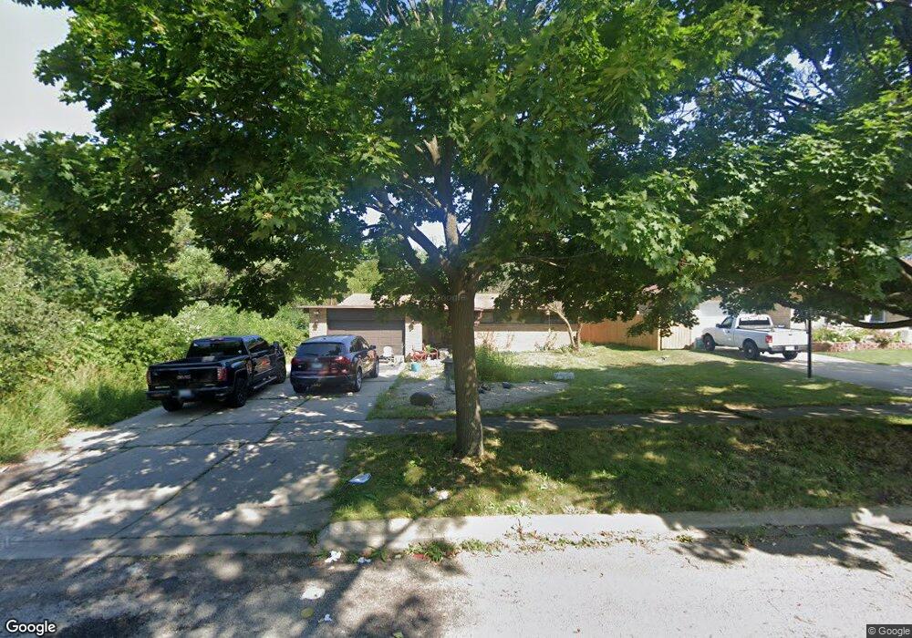
701 S Sumac Ave Waukegan, IL 60085
Norshore Park NeighborhoodEstimated Value: $278,000 - $306,000
4
Beds
2
Baths
1,392
Sq Ft
$212/Sq Ft
Est. Value
About This Home
This home is located at 701 S Sumac Ave, Waukegan, IL 60085 and is currently estimated at $294,938, approximately $211 per square foot. 701 S Sumac Ave is a home located in Lake County with nearby schools including Clearview Elementary School, John R Lewis Middle School, and Waukegan High School.
Ownership History
Date
Name
Owned For
Owner Type
Purchase Details
Closed on
Aug 1, 2020
Sold by
Rozwadowski Tyler
Bought by
Rozwadowski Paul A and Rozwadowski Karen D
Current Estimated Value
Create a Home Valuation Report for This Property
The Home Valuation Report is an in-depth analysis detailing your home's value as well as a comparison with similar homes in the area
Home Values in the Area
Average Home Value in this Area
Purchase History
| Date | Buyer | Sale Price | Title Company |
|---|---|---|---|
| Rozwadowski Paul A | -- | Attorney |
Source: Public Records
Tax History Compared to Growth
Tax History
| Year | Tax Paid | Tax Assessment Tax Assessment Total Assessment is a certain percentage of the fair market value that is determined by local assessors to be the total taxable value of land and additions on the property. | Land | Improvement |
|---|---|---|---|---|
| 2024 | $6,921 | $81,951 | $11,230 | $70,721 |
| 2023 | $6,384 | $73,397 | $9,617 | $63,780 |
| 2022 | $6,384 | $65,299 | $9,625 | $55,674 |
| 2021 | $5,856 | $56,170 | $8,266 | $47,904 |
| 2020 | $4,685 | $52,329 | $7,701 | $44,628 |
| 2019 | $4,618 | $47,951 | $7,057 | $40,894 |
| 2018 | $4,197 | $44,159 | $9,081 | $35,078 |
| 2017 | $4,023 | $39,068 | $8,034 | $31,034 |
| 2016 | $3,546 | $33,948 | $6,981 | $26,967 |
| 2015 | $2,985 | $30,384 | $6,248 | $24,136 |
| 2014 | $3,132 | $28,668 | $6,920 | $21,748 |
| 2012 | $4,442 | $31,058 | $7,497 | $23,561 |
Source: Public Records
Map
Nearby Homes
- 12601 W Atlantic Ave
- 2116 & 2101 Williamsburg Dr
- 819 S Fulton Ave
- 1712 11th St
- 2726 W Hidden Glen Dr
- 3027 Belvidere Rd
- 671 Oldsmar Ln
- 49 S Lewis Ave
- 3159 Jeanette Ave
- 446 S Jackson St
- 1521 Catalpa Ave
- 910 Cummings Ave
- 3298 7th St
- 1511 14th St
- 3285 Meadow Dr
- 24 Washington Terrace
- 815 Prescott St
- 724 10th St
- 1244 Victoria Ave
- 600 Sunderlin St