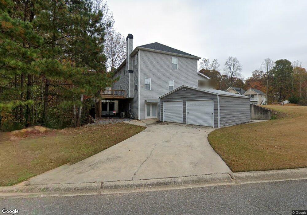
701 Sable Trace Ridge Acworth, GA 30102
Oak Grove NeighborhoodEstimated Value: $456,000 - $538,657
3
Beds
4
Baths
4,118
Sq Ft
$121/Sq Ft
Est. Value
About This Home
This home is located at 701 Sable Trace Ridge, Acworth, GA 30102 and is currently estimated at $497,329, approximately $120 per square foot. 701 Sable Trace Ridge is a home located in Cherokee County with nearby schools including Oak Grove Elementary School, E. T. Booth Middle School, and Etowah High School.
Ownership History
Date
Name
Owned For
Owner Type
Purchase Details
Closed on
Aug 19, 2011
Sold by
Federal National Mortgage Association
Bought by
Hall Bruce Ara and Hall Christi Harton
Current Estimated Value
Purchase Details
Closed on
Apr 5, 2011
Sold by
Regions Mtg
Bought by
Federal Natl Mtg Assn Fnma
Purchase Details
Closed on
Jul 25, 2003
Sold by
Ware Ben L
Bought by
Smith Yvonne R
Home Financials for this Owner
Home Financials are based on the most recent Mortgage that was taken out on this home.
Original Mortgage
$261,240
Interest Rate
5.17%
Create a Home Valuation Report for This Property
The Home Valuation Report is an in-depth analysis detailing your home's value as well as a comparison with similar homes in the area
Home Values in the Area
Average Home Value in this Area
Purchase History
| Date | Buyer | Sale Price | Title Company |
|---|---|---|---|
| Hall Bruce Ara | $140,500 | -- | |
| Federal Natl Mtg Assn Fnma | -- | -- | |
| Regions Mtg | $231,681 | -- | |
| Smith Yvonne R | $269,500 | -- |
Source: Public Records
Mortgage History
| Date | Status | Borrower | Loan Amount |
|---|---|---|---|
| Previous Owner | Smith Yvonne R | $261,240 |
Source: Public Records
Tax History
| Year | Tax Paid | Tax Assessment Tax Assessment Total Assessment is a certain percentage of the fair market value that is determined by local assessors to be the total taxable value of land and additions on the property. | Land | Improvement |
|---|---|---|---|---|
| 2025 | $4,995 | $193,360 | $34,000 | $159,360 |
| 2024 | $5,055 | $194,520 | $34,000 | $160,520 |
| 2023 | $4,975 | $191,440 | $34,000 | $157,440 |
| 2022 | $2,944 | $112,000 | $19,903 | $92,097 |
| 2021 | $3,179 | $112,000 | $19,903 | $92,097 |
| 2020 | $3,182 | $123,800 | $22,000 | $101,800 |
| 2019 | $3,569 | $125,600 | $22,000 | $103,600 |
| 2018 | $3,252 | $113,760 | $19,200 | $94,560 |
| 2017 | $3,242 | $281,300 | $19,200 | $93,320 |
| 2016 | $2,925 | $251,200 | $19,200 | $81,280 |
| 2015 | $2,246 | $191,000 | $13,000 | $63,400 |
| 2014 | $2,251 | $191,000 | $13,000 | $63,400 |
Source: Public Records
Map
Nearby Homes
- 307 Queensbury Walk
- 304 Queensbury Walk
- 6390 Woodstock Rd
- 204 Queensbury Ct
- 740 Coventry Cove Way
- 744 Coventry Cove Way
- 748 Coventry Cove Way
- 752 Coventry Cove Way
- 756 Coventry Cove Way
- 333 Brighton Bend Ln
- 337 Brighton Bend Ln
- 341 Brighton Bend Ln
- 585 Lee Dr
- 1856 W Elmwood Dr
- 222 Gallant Fox Way
- 105 Discovery Dr
- 5753 Oak Grove Dr
- 648 Devon Aly
- 544 Aberdeen Meadow Ln
- 301 Buckpasser Ct
- 703 Sable Trace Ridge
- 113 Sable Trace Trail
- 702 Sable Trace Ridge Unit 111
- 702 Sable Trace Ridge
- 128 Sable Trace Trail
- 117 Sable Trace Trail
- 126 Sable Trace Trail
- 130 Sable Trace Trail
- 705 Sable Trace Ridge
- 704 Sable Trace Ridge
- 124 Sable Trace Trail
- 111 Sable Trace Trail
- 132 Sable Trace Trail
- 134 Sable Trace Trail
- 707 Sable Trace Ridge
- 603 Sable Trace Run
- 601 Sable Trace Run
- 122 Sable Trace Trail
- 136 Sable Trace Trail
- 706 Sable Trace Ridge