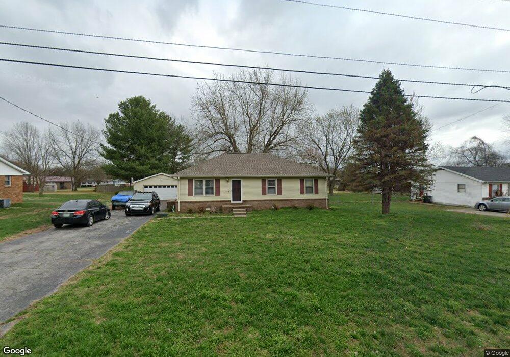
701 Sanderson Dr Hopkinsville, KY 42240
Estimated Value: $154,439 - $221,000
3
Beds
2
Baths
1,230
Sq Ft
$144/Sq Ft
Est. Value
About This Home
This home is located at 701 Sanderson Dr, Hopkinsville, KY 42240 and is currently estimated at $177,110, approximately $143 per square foot. 701 Sanderson Dr is a home located in Christian County with nearby schools including Freedom Elementary School.
Ownership History
Date
Name
Owned For
Owner Type
Purchase Details
Closed on
Aug 15, 2008
Sold by
Boyd Pamela S and Deutsche Bank Natioal Trust Co
Bought by
Barnett Connie L
Current Estimated Value
Purchase Details
Closed on
Jul 19, 2005
Sold by
Alexander Timothy N and Alexander Christie L
Bought by
Boyd Pamela S
Home Financials for this Owner
Home Financials are based on the most recent Mortgage that was taken out on this home.
Original Mortgage
$79,900
Interest Rate
8.37%
Mortgage Type
Adjustable Rate Mortgage/ARM
Create a Home Valuation Report for This Property
The Home Valuation Report is an in-depth analysis detailing your home's value as well as a comparison with similar homes in the area
Home Values in the Area
Average Home Value in this Area
Purchase History
| Date | Buyer | Sale Price | Title Company |
|---|---|---|---|
| Barnett Connie L | $61,000 | None Available | |
| Boyd Pamela S | $79,900 | None Available |
Source: Public Records
Mortgage History
| Date | Status | Borrower | Loan Amount |
|---|---|---|---|
| Previous Owner | Boyd Pamela S | $79,900 |
Source: Public Records
Tax History Compared to Growth
Tax History
| Year | Tax Paid | Tax Assessment Tax Assessment Total Assessment is a certain percentage of the fair market value that is determined by local assessors to be the total taxable value of land and additions on the property. | Land | Improvement |
|---|---|---|---|---|
| 2024 | $851 | $115,000 | $0 | $0 |
| 2023 | $894 | $115,000 | $0 | $0 |
| 2022 | $896 | $115,000 | $0 | $0 |
| 2021 | $630 | $80,000 | $0 | $0 |
| 2020 | $634 | $80,000 | $0 | $0 |
| 2019 | $638 | $80,000 | $0 | $0 |
| 2018 | $638 | $80,000 | $0 | $0 |
| 2017 | $628 | $80,000 | $0 | $0 |
| 2016 | $622 | $80,000 | $0 | $0 |
| 2015 | $185 | $80,000 | $0 | $0 |
| 2014 | $185 | $80,000 | $0 | $0 |
| 2013 | -- | $80,000 | $0 | $0 |
Source: Public Records
Map
Nearby Homes
- 107 Lancaster Dr
- 329 Pine Hill Dr
- 0 Sanderson Dr
- 1405 Barberry Place
- 600 Colonette Dr
- 1412 Honeysuckle Dr
- 1409 Honeysuckle Dr
- 247 Johnston Trace
- 525 Highpoint Dr
- 601 Evergreen Park Dr
- 605 Colonelette Dr
- 600 A Colonelette Dr
- 1413 Glass Ave
- 1191 Emerson Cir
- 2210 Princeton Rd
- 612 North Dr
- 201 Oriole Dr
- 151 N Mcpherson St
- 153 N Mcpherson St
- 151 N Mcpherson Ave
- 703 Sanderson Dr
- 705 Sanderson Dr
- 804 Whispering Hills Dr
- 621 Vass Ln
- 629 Vass Ln
- 605 Pineridge Dr Unit 1
- 603 Pineridge Dr
- 601 Pineridge Dr
- 703 Pineridge Dr
- 701 Pineridge Dr
- 636 Vass Ln
- 632 Vass Ln
- 630 Vass Ln
- 628 Vass Ln
- 624 Vass Ln
- 622 Vass Ln
- 726 Sanderson Dr
- 724 Sanderson Dr
- 722 Sanderson Dr
- 718 Sanderson Dr