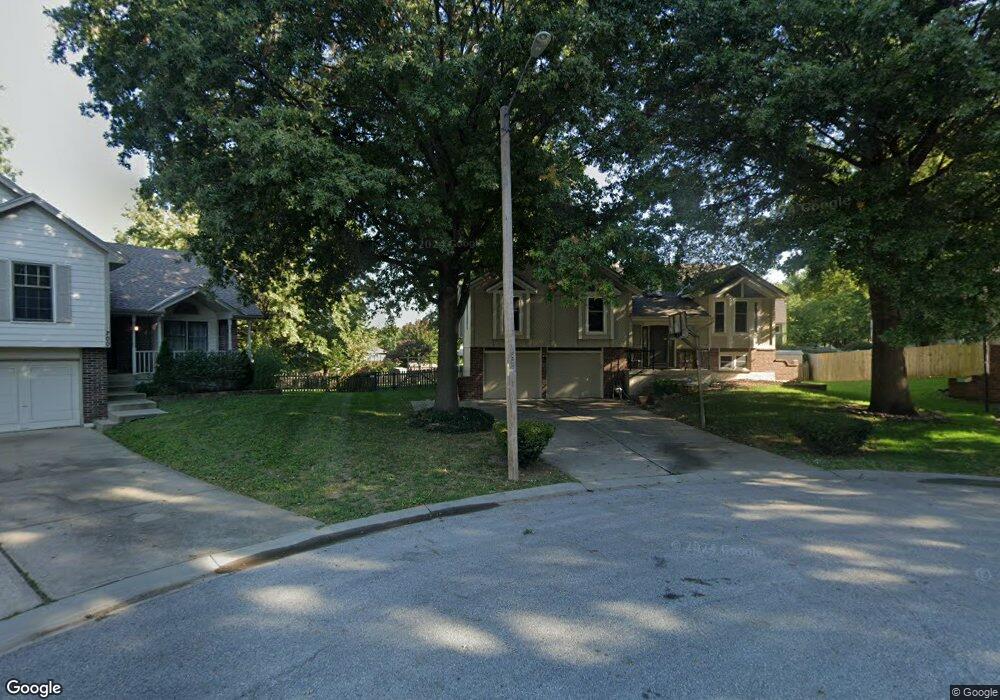
701 SE Basil Ct Lees Summit, MO 64063
Lee's Summit AreaEstimated Value: $340,000 - $362,081
About This Home
This home is located at 701 SE Basil Ct, Lees Summit, MO 64063 and is currently estimated at $352,270, approximately $220 per square foot. 701 SE Basil Ct is a home located in Jackson County with nearby schools including Pleasant Lea Middle School, Lee's Summit Senior High School, and Summit Christian Academy.
Ownership History
We collect this data history from publicly available records. To have your information removed, we recommend requesting removal directly through your county’s website.
Purchase Details
Purchase Details
Home Financials for this Owner
Home Financials are based on the most recent Mortgage that was taken out on this home.Purchase Details
Home Financials for this Owner
Home Financials are based on the most recent Mortgage that was taken out on this home.Purchase Details
Home Values in the Area
Average Home Value in this Area
Purchase History
We collect this data history from publicly available records. To have your information removed, we recommend requesting removal directly through your county’s website.
| Date | Buyer | Sale Price | Title Company |
|---|---|---|---|
| -- | None Listed On Document | ||
| -- | Missouri Secured Title Lees | ||
| -- | Security Land Title Co | ||
| -- | -- |
Mortgage History
We collect this data history from publicly available records. To have your information removed, we recommend requesting removal directly through your county’s website.
| Date | Status | Borrower | Loan Amount |
|---|---|---|---|
| Previous Owner | $123,937 | ||
| Previous Owner | $131,100 |
Tax History
We collect this data history from publicly available records. To have your information removed, we recommend requesting removal directly through your county’s website.
| Year | Tax Paid | Tax Assessment Tax Assessment Total Assessment is a certain percentage of the fair market value that is determined by local assessors to be the total taxable value of land and additions on the property. | Land | Improvement |
|---|---|---|---|---|
| 2025 | $4,106 | $54,526 | $9,285 | $45,241 |
| 2024 | $4,077 | $56,871 | $7,066 | $49,805 |
| 2023 | $4,077 | $56,871 | $6,399 | $50,472 |
| 2022 | $3,328 | $41,230 | $4,737 | $36,493 |
| 2021 | $3,397 | $41,230 | $4,737 | $36,493 |
| 2020 | $3,264 | $39,226 | $4,737 | $34,489 |
| 2019 | $3,175 | $39,226 | $4,737 | $34,489 |
| 2018 | $2,977 | $34,138 | $4,122 | $30,016 |
| 2017 | $2,977 | $34,138 | $4,122 | $30,016 |
| 2016 | $2,794 | $31,711 | $4,009 | $27,702 |
| 2014 | $2,743 | $30,512 | $3,749 | $26,763 |
Map
- 717 SE Pierre Ct
- 1623 SE Silkwood Ln
- 701 SE James Cir
- 1736 SE Silkwood Ct
- 745 SE Country Ln
- 325 SE Brownfield Dr
- 1210 SE 5th St
- 304 SE Brownfield Dr
- 1004 SE Country Ln
- 508 SE Wingate St
- 1204 SE 11th St
- 1219 SE 11th St
- 2007 SE 5th St
- 601 SE Brentwood Dr
- 328 NE Greystone Dr
- 1013 SE Wingate Ct
- 1109 SE 11th St
- 613 SE Brentwood Dr
- 210 SE Circleview Dr
- 1022 SE 5th St
- 705 SE Basil Ct
- 700 SE Basil Ct
- 724 SE Pierre Ave
- 728 SE Pierre Ave
- 704 SE Basil Ct
- 720 SE Pierre Ave
- 709 SE Basil Ct
- 623 SE Greenridge Dr
- 619 SE Greenridge Dr
- 732 SE Pierre Ave
- 615 SE Greenridge Dr
- 708 SE Basil Ct
- 703 SE Greenridge Dr
- 736 SE Pierre Ave
- 1604 SE 7th Terrace
- 1608 SE 7th Terrace
- 707 SE Greenridge Dr
- 711 SE Greenridge Dr
- 712 SE Basil Ct
- 1612 SE 7th Terrace
Ask me questions while you tour the home.