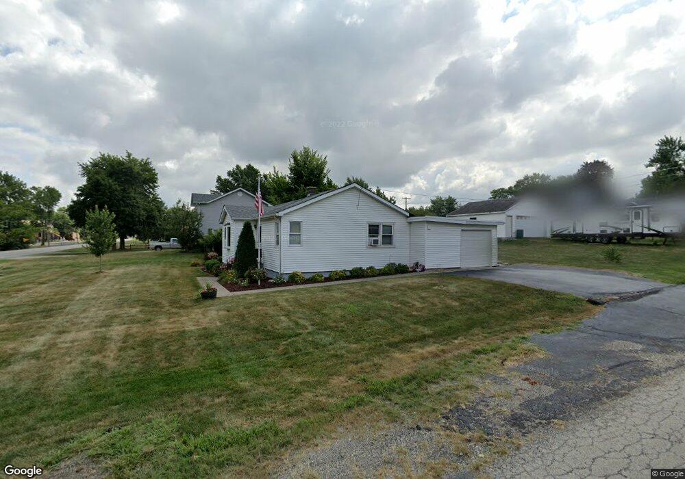
701 Thornton St Unit 1 Lockport, IL 60441
Estimated Value: $226,444 - $302,000
--
Bed
--
Bath
1,496
Sq Ft
$180/Sq Ft
Est. Value
About This Home
This home is located at 701 Thornton St Unit 1, Lockport, IL 60441 and is currently estimated at $269,111, approximately $179 per square foot. 701 Thornton St Unit 1 is a home located in Will County with nearby schools including Milne Grove Elementary School, Kelvin Grove Jr High School, and Lockport Township High School East.
Ownership History
Date
Name
Owned For
Owner Type
Purchase Details
Closed on
Aug 30, 1999
Sold by
Baxter Bruce E and Baxter Geraldine M
Bought by
Bresnahan Mary E
Current Estimated Value
Home Financials for this Owner
Home Financials are based on the most recent Mortgage that was taken out on this home.
Original Mortgage
$86,436
Interest Rate
7.93%
Mortgage Type
FHA
Create a Home Valuation Report for This Property
The Home Valuation Report is an in-depth analysis detailing your home's value as well as a comparison with similar homes in the area
Home Values in the Area
Average Home Value in this Area
Purchase History
| Date | Buyer | Sale Price | Title Company |
|---|---|---|---|
| Bresnahan Mary E | $87,000 | -- |
Source: Public Records
Mortgage History
| Date | Status | Borrower | Loan Amount |
|---|---|---|---|
| Open | Bresnahan Mary E | $86,436 |
Source: Public Records
Tax History Compared to Growth
Tax History
| Year | Tax Paid | Tax Assessment Tax Assessment Total Assessment is a certain percentage of the fair market value that is determined by local assessors to be the total taxable value of land and additions on the property. | Land | Improvement |
|---|---|---|---|---|
| 2024 | $1,834 | $76,631 | $24,842 | $51,789 |
| 2023 | $1,834 | $68,795 | $22,302 | $46,493 |
| 2022 | $2,385 | $61,071 | $19,798 | $41,273 |
| 2021 | $2,409 | $57,392 | $18,605 | $38,787 |
| 2020 | $2,434 | $55,505 | $17,993 | $37,512 |
| 2019 | $2,447 | $52,611 | $17,055 | $35,556 |
| 2018 | $2,502 | $50,587 | $16,399 | $34,188 |
| 2017 | $3,359 | $47,755 | $15,481 | $32,274 |
| 2016 | $3,165 | $44,756 | $14,509 | $30,247 |
| 2015 | $2,819 | $41,749 | $13,534 | $28,215 |
| 2014 | $2,819 | $39,018 | $12,649 | $26,369 |
| 2013 | $2,819 | $40,644 | $13,176 | $27,468 |
Source: Public Records
Map
Nearby Homes
- 613 Katherine St
- 207 Muehl Dr
- 134 S Jefferson St
- 613 E 3rd St Unit 4
- 1340 Lacoma Ct
- 1108 E 9th St
- 540 E 4th St
- 219 S Washington St
- 247 E North St
- 118 N State St
- 120 N State St
- 101 Market St
- 560 E 7th St
- 317 Bonnie Dr
- 1102 E Treeline Dr
- 807 Valley Ln
- 609 Oak St
- 805 Maryknoll Dr
- 800 Madison St Unit 2C
- 1220 E Wellwood Dr
- 703 Thornton St
- 700 E 1st St
- 702 E 1st St
- 705 Thornton St
- 704 E 1st St
- 610 E 1st St Unit 1
- 710 Thornton St
- 629 Thornton St
- 708 E 1st St
- 711 Thornton St
- 608 E 1st St
- 634 Thornton St
- 504 Thornton St Unit 1
- 710 E 1st St
- 530 Thornton St
- 604 E 1st St Unit 1
- 701 E 1st St
- 712 Thornton St
- 705 E 1st St Unit 1
- 607 E 1st St