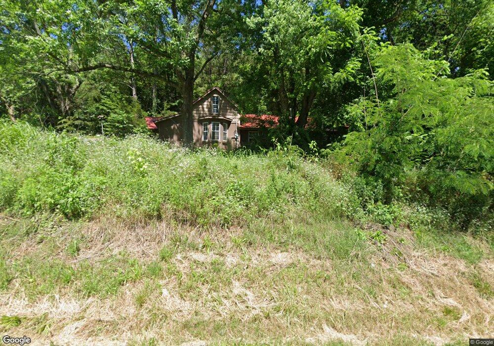
701 W Highway 76 Anderson, MO 64831
Estimated Value: $79,000 - $221,000
3
Beds
--
Bath
1,171
Sq Ft
$109/Sq Ft
Est. Value
About This Home
This home is located at 701 W Highway 76, Anderson, MO 64831 and is currently estimated at $127,416, approximately $108 per square foot. 701 W Highway 76 is a home with nearby schools including McDonald County High School.
Ownership History
Date
Name
Owned For
Owner Type
Purchase Details
Closed on
Jan 9, 2025
Sold by
Sears Monnie P and Sears Joanna R
Bought by
Sears Monnie Dean and Sears Joanna R
Current Estimated Value
Home Financials for this Owner
Home Financials are based on the most recent Mortgage that was taken out on this home.
Original Mortgage
$88,000
Outstanding Balance
$75,294
Interest Rate
6.69%
Mortgage Type
Credit Line Revolving
Estimated Equity
$52,122
Create a Home Valuation Report for This Property
The Home Valuation Report is an in-depth analysis detailing your home's value as well as a comparison with similar homes in the area
Home Values in the Area
Average Home Value in this Area
Purchase History
| Date | Buyer | Sale Price | Title Company |
|---|---|---|---|
| Sears Monnie Dean | -- | Waco Title | |
| Sears Monnie Dean | -- | Waco Title |
Source: Public Records
Mortgage History
| Date | Status | Borrower | Loan Amount |
|---|---|---|---|
| Open | Sears Monnie Dean | $88,000 | |
| Closed | Sears Monnie Dean | $88,000 |
Source: Public Records
Tax History Compared to Growth
Tax History
| Year | Tax Paid | Tax Assessment Tax Assessment Total Assessment is a certain percentage of the fair market value that is determined by local assessors to be the total taxable value of land and additions on the property. | Land | Improvement |
|---|---|---|---|---|
| 2025 | $275 | $7,510 | $0 | $0 |
| 2024 | $275 | $6,940 | $0 | $0 |
| 2023 | $275 | $6,940 | $0 | $0 |
| 2022 | $275 | $6,940 | $0 | $0 |
| 2021 | $275 | $6,940 | $0 | $0 |
| 2020 | $245 | $6,160 | $0 | $0 |
| 2019 | $245 | $6,160 | $0 | $0 |
| 2018 | $240 | $6,040 | $0 | $0 |
| 2017 | $240 | $6,030 | $0 | $0 |
| 2016 | $240 | $6,030 | $0 | $0 |
| 2015 | -- | $6,030 | $0 | $0 |
| 2014 | -- | $6,030 | $0 | $0 |
Source: Public Records
Map
Nearby Homes
- 802 W Highway 76
- 413 Beaver Circle Dr
- 104 Cottage Brook Cir
- Lot 3 Cottage Brook Cir
- 321 W Highway F
- 209 Mill St
- Lot 1 Cottage Brook Cir
- 112 Riverview Dr
- 703 Highway F
- 17 Builders Ln
- 202 N Walnut St
- 410 Missouri St
- 000-9 Ac Hobbs Rd
- 000-11 Ac Hobbs Rd
- 19 Builders Ln
- Lot #2 Builders Ln
- Lot #4 Builders Ln
- 140 Park Valley Ct
- Lot #3 Builders Ln
- 123 Park Valley Ct
- 301 W Highway 76
- 705 W Highway 76
- 707 W Highway 76
- 0 W Hwy 76 Hwy Unit 338559
- 0 W Hwy 76 Hwy Unit 663937
- 200 Hound Dawg Rd
- 311 W Highway 76
- 711 W Highway 76
- 605 W Highway 76
- 713 W Highway 76
- 715 W Highway 76
- 700 W Highway 76
- 1606 State Highway 76
- 208 Hound Dawg St
- 208 Hound Dawg Rd
- 500 Hound Dawg Rd
- 606 State Highway 76
- 105 Hound Dawg Rd
- 103 Hound Dawg St
- 606 W Highway 76