701 Winthrop St Unit 116 Taunton, MA 02780
Wades Corner NeighborhoodEstimated Value: $448,110 - $514,000
2
Beds
3
Baths
1,759
Sq Ft
$275/Sq Ft
Est. Value
About This Home
This home is located at 701 Winthrop St Unit 116, Taunton, MA 02780 and is currently estimated at $483,028, approximately $274 per square foot. 701 Winthrop St Unit 116 is a home located in Bristol County with nearby schools including Edmund Hatch Bennett School, Benjamin Friedman Middle School, and Taunton High School.
Ownership History
Date
Name
Owned For
Owner Type
Purchase Details
Closed on
Aug 26, 2011
Sold by
Flanagan Hughl
Bought by
Mcgrath Michael J
Current Estimated Value
Home Financials for this Owner
Home Financials are based on the most recent Mortgage that was taken out on this home.
Original Mortgage
$184,300
Outstanding Balance
$127,823
Interest Rate
4.53%
Mortgage Type
Purchase Money Mortgage
Estimated Equity
$355,205
Purchase Details
Closed on
Jun 30, 1994
Sold by
Lms Dev Corp
Bought by
Flanagan Hugh L and Flanagan Mary R
Create a Home Valuation Report for This Property
The Home Valuation Report is an in-depth analysis detailing your home's value as well as a comparison with similar homes in the area
Home Values in the Area
Average Home Value in this Area
Purchase History
| Date | Buyer | Sale Price | Title Company |
|---|---|---|---|
| Mcgrath Michael J | $194,000 | -- | |
| Flanagan Hugh L | $125,000 | -- |
Source: Public Records
Mortgage History
| Date | Status | Borrower | Loan Amount |
|---|---|---|---|
| Open | Mcgrath Michael J | $184,300 |
Source: Public Records
Tax History Compared to Growth
Tax History
| Year | Tax Paid | Tax Assessment Tax Assessment Total Assessment is a certain percentage of the fair market value that is determined by local assessors to be the total taxable value of land and additions on the property. | Land | Improvement |
|---|---|---|---|---|
| 2025 | $4,232 | $386,800 | $0 | $386,800 |
| 2024 | $3,714 | $331,900 | $0 | $331,900 |
| 2023 | $3,663 | $304,000 | $0 | $304,000 |
| 2022 | $3,834 | $290,900 | $0 | $290,900 |
| 2021 | $4,179 | $294,300 | $0 | $294,300 |
| 2020 | $4,320 | $290,700 | $0 | $290,700 |
| 2019 | $3,694 | $234,400 | $0 | $234,400 |
| 2018 | $3,336 | $212,200 | $0 | $212,200 |
| 2017 | $3,128 | $199,100 | $0 | $199,100 |
| 2016 | $2,976 | $189,800 | $0 | $189,800 |
| 2015 | $2,861 | $190,600 | $0 | $190,600 |
| 2014 | $2,807 | $192,100 | $0 | $192,100 |
Source: Public Records
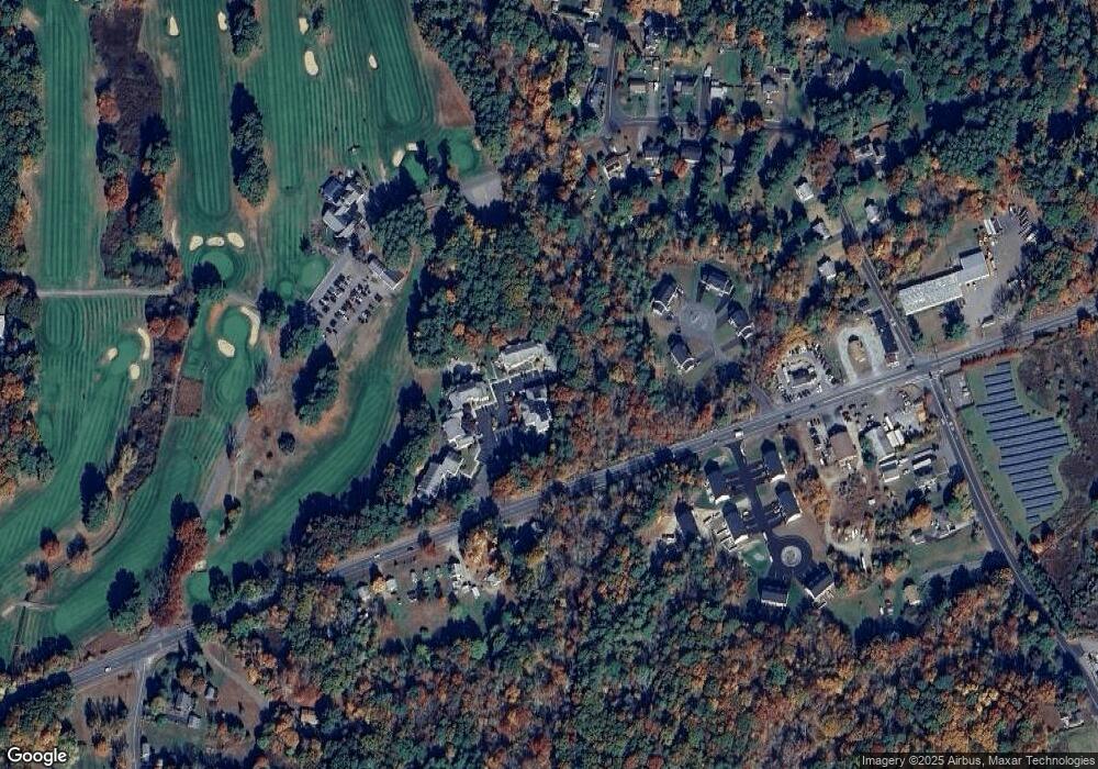
Map
Nearby Homes
- 701 Winthrop St Unit 312
- 701 Winthrop St Unit 313
- 1079 Burt St
- 1945 Putters Way
- 852 Burt St
- 2181 Wheeler St
- 2045 Winthrop St
- 0 Kimberly Rd
- 2136 Winthrop St
- 0 Range Ave Unit 72771509
- 0 Range Ave Unit 72771508
- 301 Williams St
- 165 Andrea Ln
- 70 Forest Hill Dr
- 1680 Maple St
- 1421 Tremont St
- 1401 Tremont St
- 1565 Maple St
- 593 Williams St
- 424 Winthrop St
- 701 Winthrop St Unit 111
- 701 Winthrop St Unit 215
- 701 Winthrop St Unit 311
- 701 Winthrop St Unit 412
- 701 Winthrop St Unit 213
- 701 Winthrop St Unit 212
- 701 Winthrop St Unit 211
- 701 Winthrop St Unit 115
- 701 Winthrop St Unit 114
- 701 Winthrop St Unit 113
- 701 Winthrop St Unit 424
- 701 Winthrop St Unit 423
- 701 Winthrop St Unit 422
- 701 Winthrop St Unit 421
- 701 Winthrop St Unit 414
- 701 Winthrop St Unit 413
- 701 Winthrop St Unit 411
- 701 Winthrop St Unit 326
- 701 Winthrop St Unit 316
- 701 Winthrop St Unit 112