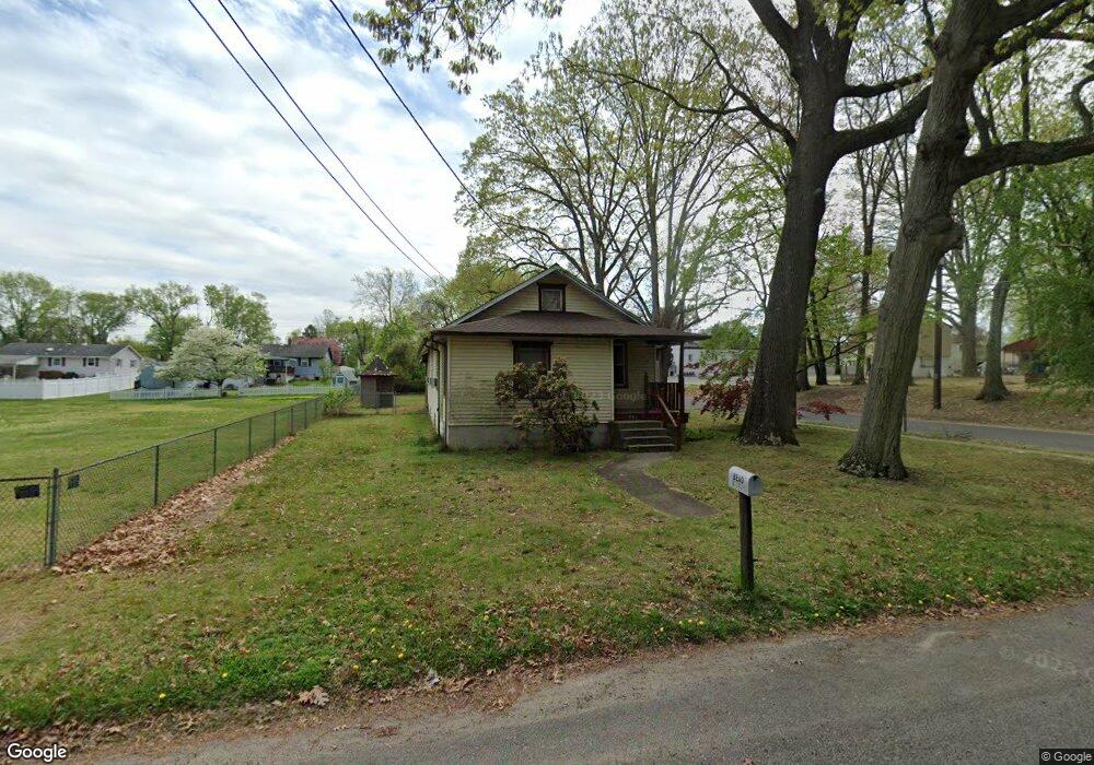
701 Woodland Ave Westville, NJ 08093
Deptford Township NeighborhoodEstimated Value: $221,545 - $274,000
--
Bed
--
Bath
1,072
Sq Ft
$232/Sq Ft
Est. Value
About This Home
This home is located at 701 Woodland Ave, Westville, NJ 08093 and is currently estimated at $248,386, approximately $231 per square foot. 701 Woodland Ave is a home located in Gloucester County with nearby schools including Deptford Township High School and Holy Angels Catholic School.
Ownership History
Date
Name
Owned For
Owner Type
Purchase Details
Closed on
Dec 29, 1997
Sold by
Houts Stephen K and Houts Vicki L
Bought by
Bead William M and Bucsko Janis K
Current Estimated Value
Home Financials for this Owner
Home Financials are based on the most recent Mortgage that was taken out on this home.
Original Mortgage
$83,793
Outstanding Balance
$14,555
Interest Rate
7.15%
Mortgage Type
FHA
Estimated Equity
$233,831
Create a Home Valuation Report for This Property
The Home Valuation Report is an in-depth analysis detailing your home's value as well as a comparison with similar homes in the area
Home Values in the Area
Average Home Value in this Area
Purchase History
| Date | Buyer | Sale Price | Title Company |
|---|---|---|---|
| Bead William M | $84,900 | -- |
Source: Public Records
Mortgage History
| Date | Status | Borrower | Loan Amount |
|---|---|---|---|
| Open | Bead William M | $83,793 |
Source: Public Records
Tax History Compared to Growth
Tax History
| Year | Tax Paid | Tax Assessment Tax Assessment Total Assessment is a certain percentage of the fair market value that is determined by local assessors to be the total taxable value of land and additions on the property. | Land | Improvement |
|---|---|---|---|---|
| 2025 | $4,560 | $127,200 | $37,800 | $89,400 |
| 2024 | $4,414 | $127,200 | $37,800 | $89,400 |
| 2023 | $4,414 | $127,200 | $37,800 | $89,400 |
| 2022 | $4,382 | $127,200 | $37,800 | $89,400 |
| 2021 | $3,799 | $127,200 | $37,800 | $89,400 |
| 2020 | $4,270 | $127,200 | $37,800 | $89,400 |
| 2019 | $4,189 | $127,200 | $37,800 | $89,400 |
| 2018 | $4,095 | $127,200 | $37,800 | $89,400 |
| 2017 | $3,985 | $127,200 | $37,800 | $89,400 |
| 2016 | $3,654 | $127,200 | $37,800 | $89,400 |
| 2015 | $3,783 | $127,200 | $37,800 | $89,400 |
| 2014 | $3,685 | $127,200 | $37,800 | $89,400 |
Source: Public Records
Map
Nearby Homes
- 615 Lot: 1.01 Carteret
- 615 L1.02 Carteret Ave
- 761 Carteret Ave
- 416 Winding Way
- 406 Winding Way
- 308 Winding Way Unit C8
- 715 Winding Way Unit G15
- 787 Tacoma Blvd
- 86 Peach St
- 1093 Delsea Dr
- 1240 Delsea Dr
- 58 Fisher Ave
- 433 Trowbridge Ave
- 230 Marion Ave
- 17 Magnolia St
- 338 E Red Bank Ave
- 17 Peach St
- 131 Andaloro Way
- 161 Riggins Blvd
- 372 Marion Ave
- 700 Tacoma Blvd
- 706 Tacoma Blvd
- 713 Woodland Ave
- 173 Peach St
- 712 Tacoma Blvd
- 715 Woodland Ave
- 710 Woodland Ave
- 634 Woodland Ave
- 631 Woodland Ave
- 716 Tacoma Blvd
- 168 Peach St
- 721 Woodland Ave
- 716 Woodland Ave
- 632 Tacoma Blvd
- 169 Peach St
- 632 Woodland Ave
- 720 Tacoma Blvd
- 725 Woodland Ave
- 720 Woodland Ave
- 200 Peach St